MyTopo
Classic USGS Kinde West Michigan 7.5'x7.5' Topo Map
Couldn't load pickup availability
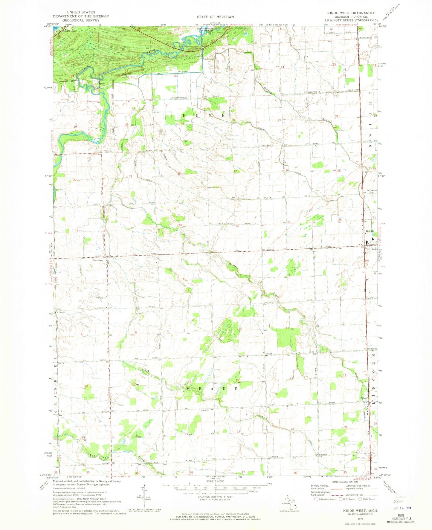
Historical USGS topographic quad map of Kinde West in the state of Michigan. Map scale may vary for some years, but is generally around 1:24,000. Print size is approximately 24" x 27"
This quadrangle is in the following counties: Huron.
The map contains contour lines, roads, rivers, towns, and lakes. Printed on high-quality waterproof paper with UV fade-resistant inks, and shipped rolled.
Contains the following named places: Arthur Drain, Bortman Creek, Case Drain, Casey Drain, Crown Post Office, Filion, Filion Post Office, Meade Township Hall, Moore Creek, North Huron Elementary School, North Huron High School, Pinnebog, Pinnebog Church, Pinnebog Post Office, Ruth Drain, Saint Edwards Cemetery, Saint Felix Cemetery, Saint Felix Church, Schram Branch, Schram Drain, Taft Drain, Todd Drain, Township of Hume, Township of Meade, WLEW-FM (Bad Axe)