MyTopo
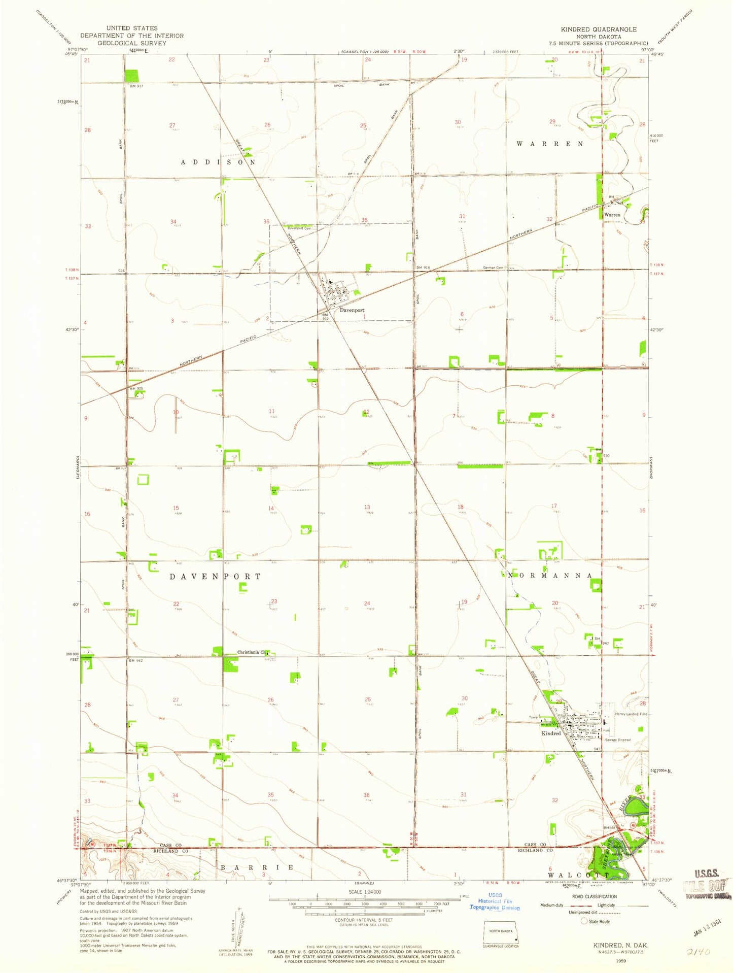
Classic USGS Kindred North Dakota 7.5'x7.5' Topo Map
Couldn't load pickup availability
Historical USGS topographic quad map of Kindred in the state of North Dakota. Map scale may vary for some years, but is generally around 1:24,000. Print size is approximately 24" x 27"
This quadrangle is in the following counties: Cass, Richland.
The map contains contour lines, roads, rivers, towns, and lakes. Printed on high-quality waterproof paper with UV fade-resistant inks, and shipped rolled.
Contains the following named places: Christiania Cemetery, Christiania Church, City of Davenport, City of Kindred, Davenport, Davenport Cemetery, Davenport Fire Station, Davenport Post Office, Immanuel German Lutheran Cemetery, Kindred, Kindred Area Ambulance Service, Kindred Cemetery, Kindred City Hall, Kindred Community and Rural Fire Protection District, Kindred Elementary School, Kindred High School, Kindred Post Office, Kindred Public Library, Robert Odegaard Field, Schroeder Airport, Township of Davenport, Warren, Warren Town Hall, ZIP Codes: 58021, 58051