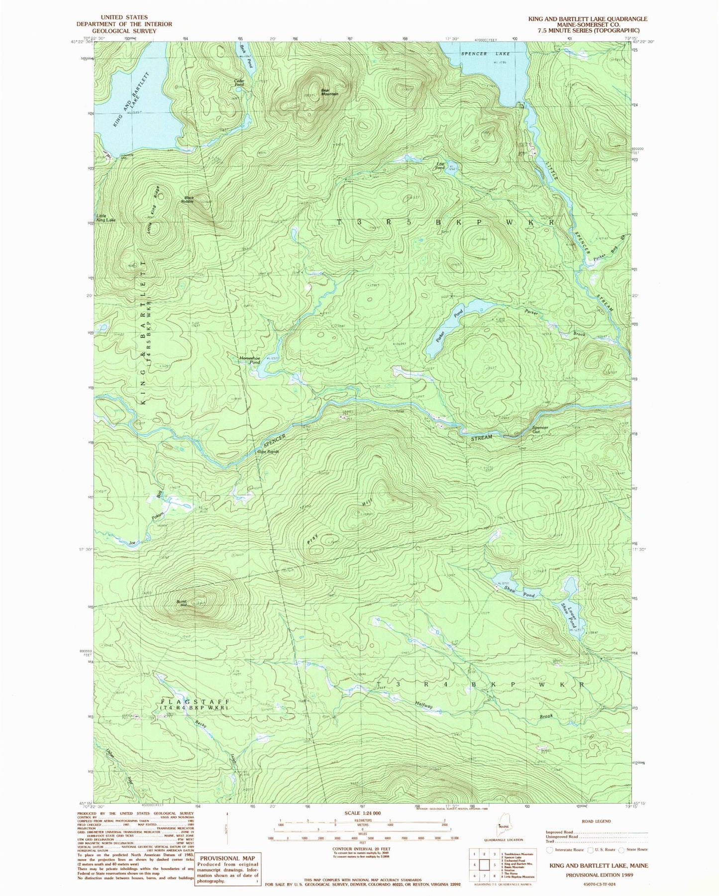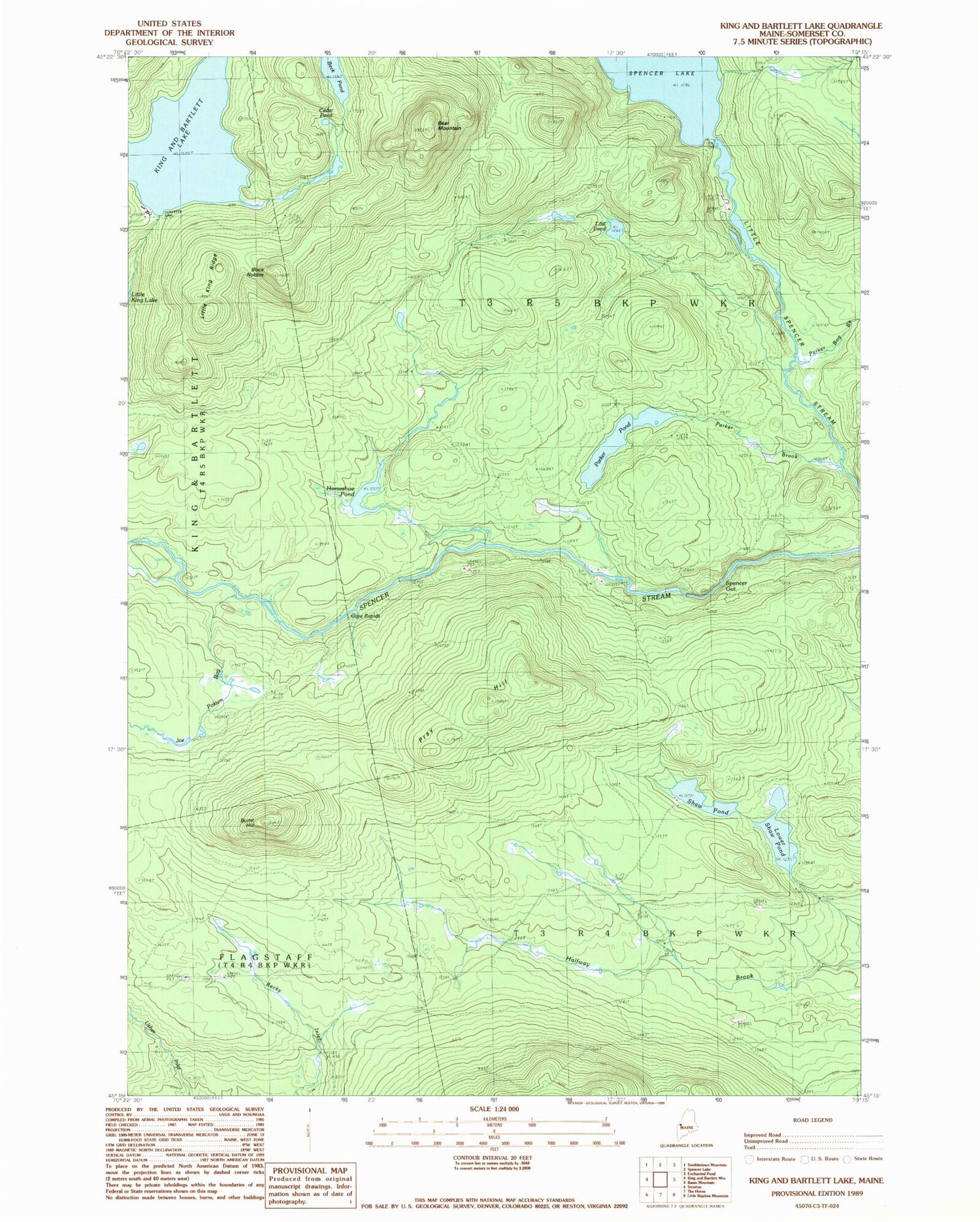

MyTopo
Classic USGS King And Bartlett Lake Maine 7.5'x7.5' Topo Map
Couldn't load pickup availability
Historical USGS topographic quad map of King And Bartlett Lake in the state of Maine. Typical map scale is 1:24,000, but may vary for certain years, if available. Print size: 24" x 27"
This quadrangle is in the following counties: Somerset.
The map contains contour lines, roads, rivers, towns, and lakes. Printed on high-quality waterproof paper with UV fade-resistant inks, and shipped rolled.
Contains the following named places: Bear Mountain, Beck Pond, Black Nubble, Burnt Hill, Cedar Pond, Gore Rapids, Horseshoe Pond, Joe Pokum Bog, King and Bartlett Camps, King and Bartlett Lake, Little King Ridge, Lost Pond, Lower Shaw Pond, Parker Bog Brook, Parker Brook, Parker Pond, Pray Hill, Shaw Pond, Spencer Gut, Spencer Lake Dam, Spencer Lake, King-Bartlett Lake Dam, T3 R4 BKP WKR