MyTopo
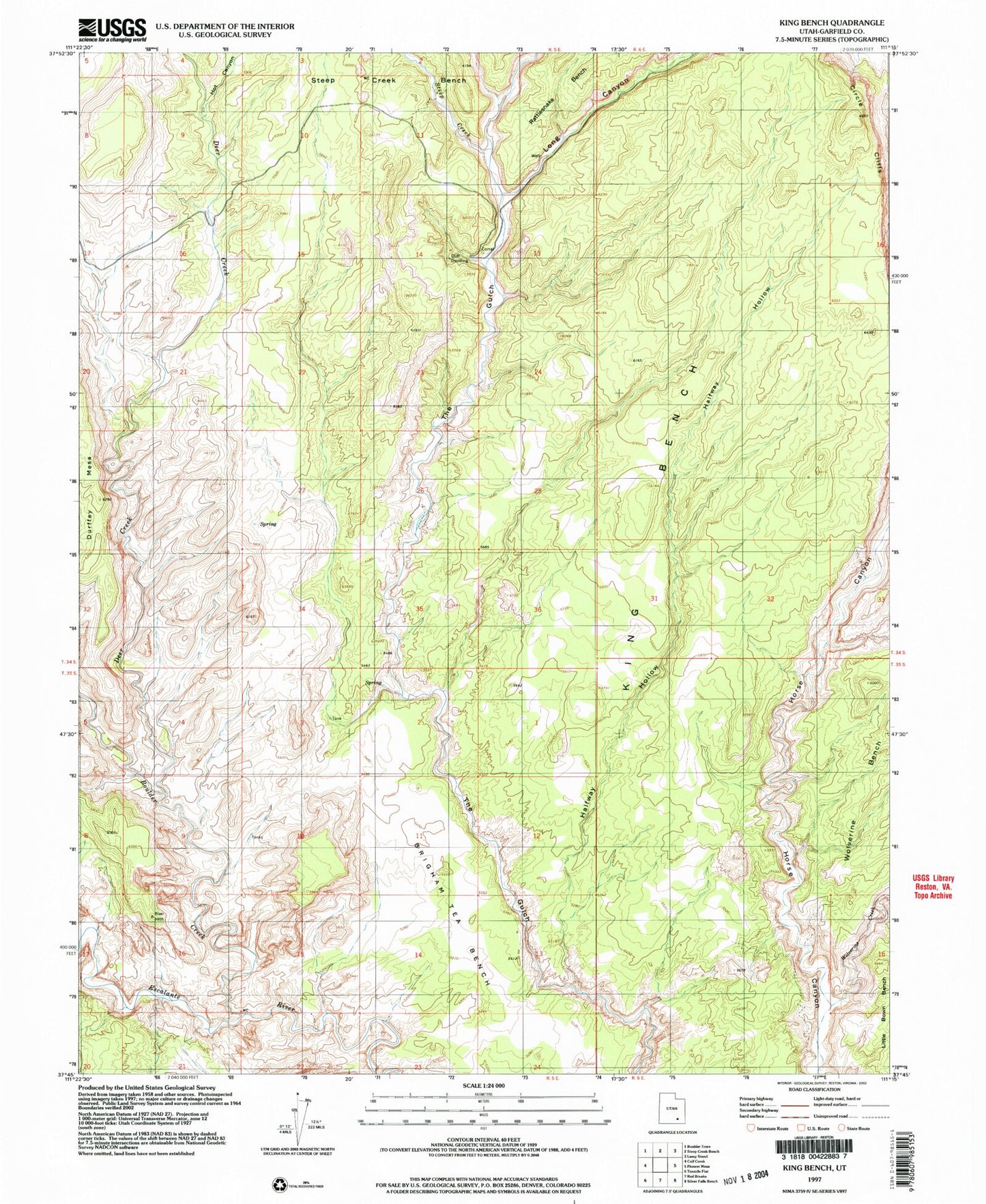
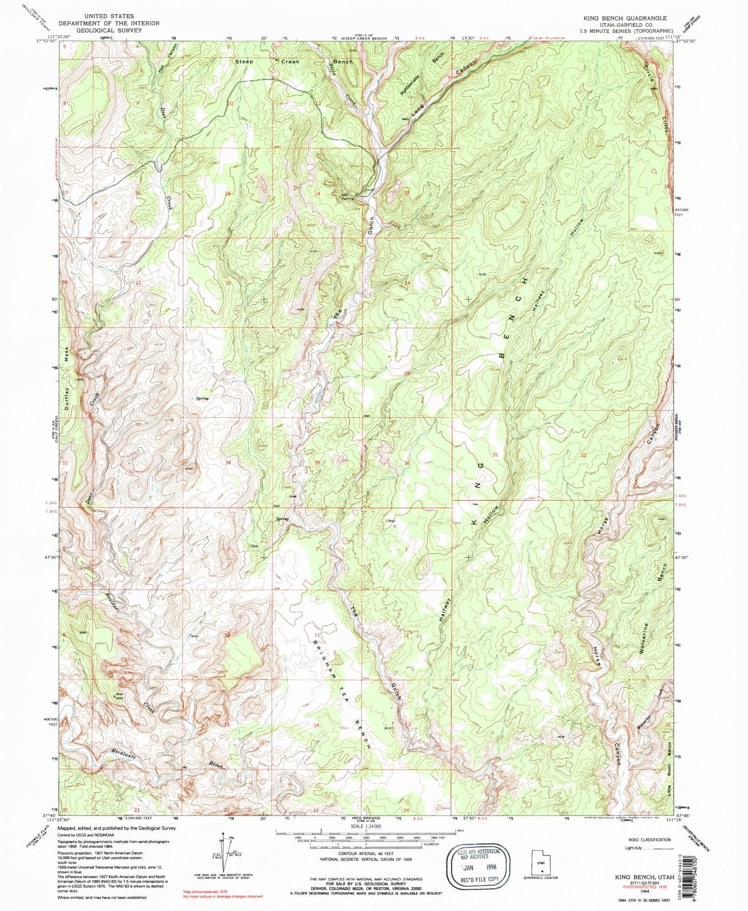
Classic USGS King Bench Utah 7.5'x7.5' Topo Map
Regular price
$16.95
Regular price
Sale price
$16.95
Unit price
per
Couldn't load pickup availability
Historical USGS topographic quad map of King Bench in the state of Utah. Typical map scale is 1:24,000, but may vary for certain years, if available. Print size: 24" x 27"
This quadrangle is in the following counties: Garfield.
The map contains contour lines, roads, rivers, towns, and lakes. Printed on high-quality waterproof paper with UV fade-resistant inks, and shipped rolled.
Contains the following named places: Brigham Tea Bench, Halfway Hollow, Steep Creek, Wolverine Creek, Deer Creek Recreation Area, The Gulch Outstanding Natural Area, Boulder Creek, Deer Creek, Hot Canyon, King Bench, Long Canyon, Wolverine Canyon, Deer Creek Campground