MyTopo
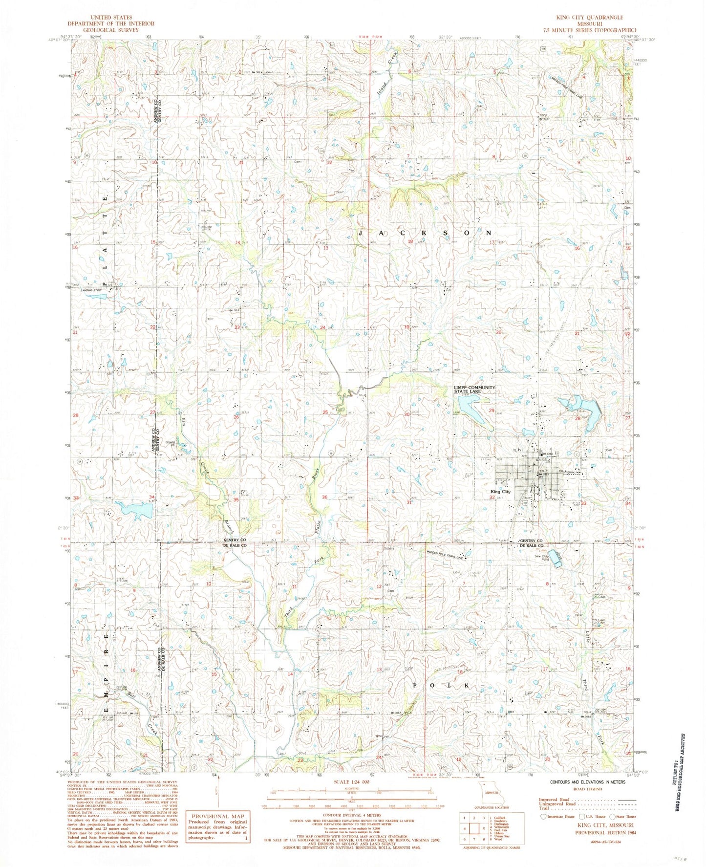
Classic USGS King City Missouri 7.5'x7.5' Topo Map
Couldn't load pickup availability
Historical USGS topographic quad map of King City in the state of Missouri. Map scale may vary for some years, but is generally around 1:24,000. Print size is approximately 24" x 27"
This quadrangle is in the following counties: Andrew, DeKalb, Gentry.
The map contains contour lines, roads, rivers, towns, and lakes. Printed on high-quality waterproof paper with UV fade-resistant inks, and shipped rolled.
Contains the following named places: Bray School, City of King City, Columbia School, Culver Lake, Culver Lake Dam, Douglas, Douglas Post Office, Elm Grove Branch, Fairbanks Airport, Fizzle Ridge Airport, Garfield School, Karr School, King City, King City Cemetery, King City Elementary School, King City Fire Protection District, King City High School, King City New Reservoir Dam, King City Old Reservoir Dam, King City Post Office, King City Reservoir, Limpp Community State Lake, Limpp Lake Dam, Prairie Flower School, Quad State Helicopter Heliport, Shepard School, Spiking School, Township of Jackson, Victory School