MyTopo
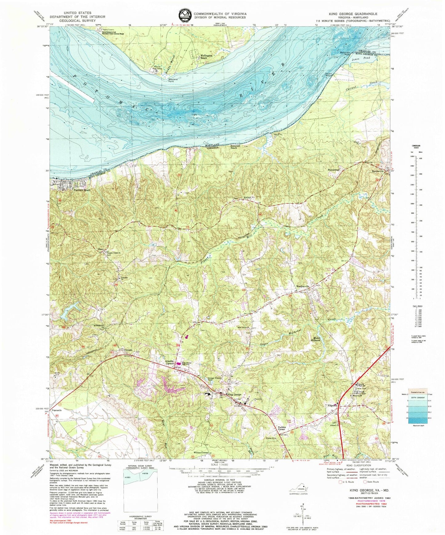
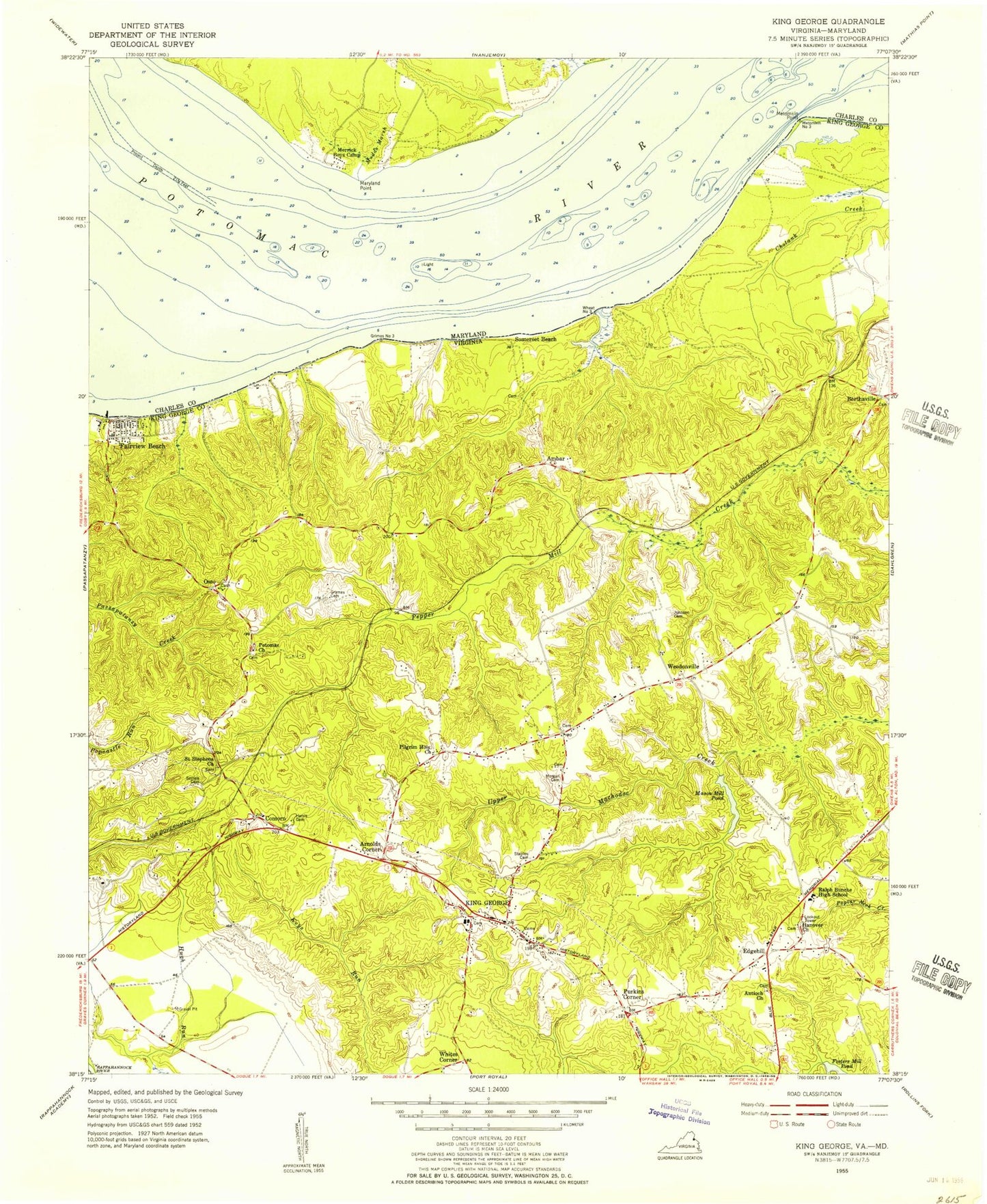
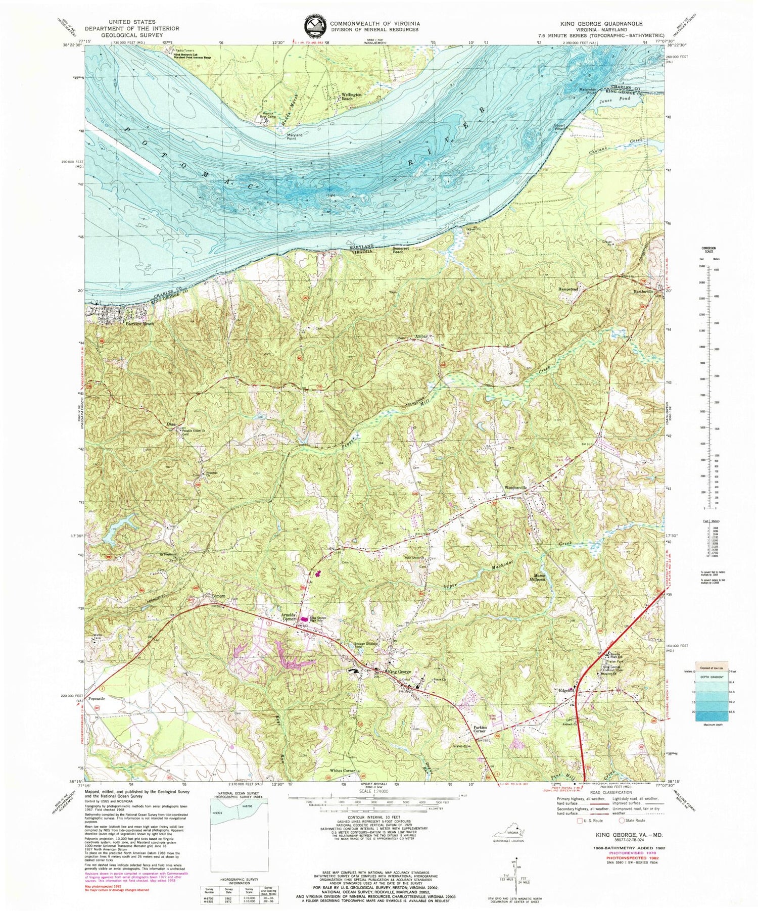
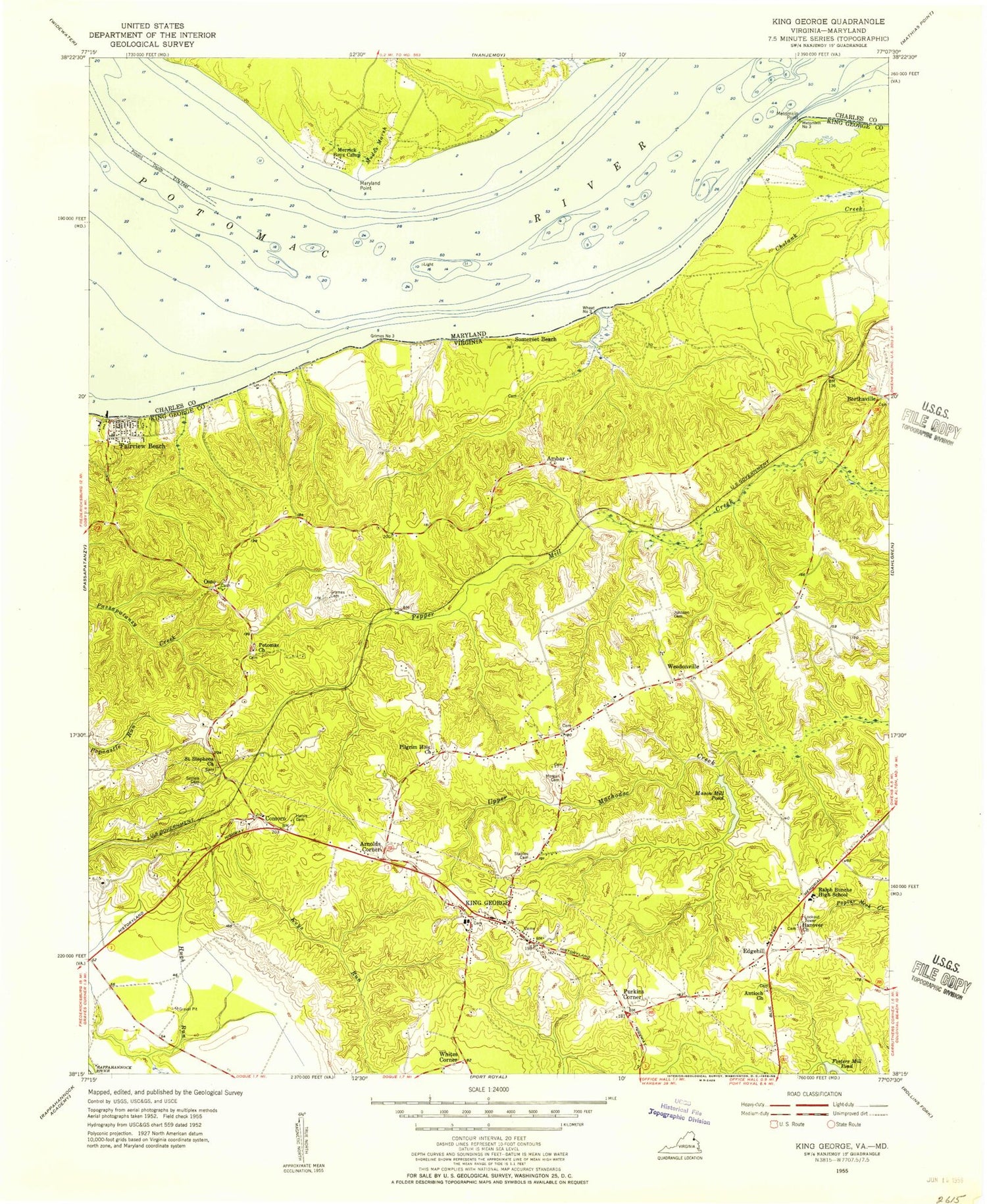
Classic USGS King George Virginia 7.5'x7.5' Topo Map
Couldn't load pickup availability
Historical USGS topographic quad map of King George in the states of Virginia, Maryland. Map scale may vary for some years, but is generally around 1:24,000. Print size is approximately 24" x 27"
This quadrangle is in the following counties: Caroline, Charles, King George.
The map contains contour lines, roads, rivers, towns, and lakes. Printed on high-quality waterproof paper with UV fade-resistant inks, and shipped rolled.
Contains the following named places: Ambar, Antioch Baptist Church Cemetery, Antioch Church, Arnolds Corner, Berthaville, Caledon State Park, Cherryfield, Comorn, Company 3, Dahlgren Rescue Squad, Edgehill, Fairview Beach, Fairview Beach Census Designated Place, First Baptist Church, Halfway Creek, Hampstead, Hanover Baptist Church Cemetery, Hanover Church, Harrison Cove, James Monroe District, Jones Pond, King George, King George Census Designated Place, King George County, King George County Department of Emergency Services, King George County Sheriff's Office, King George Elementary School, King George Fire and Rescue Company 1, King George Fire and Rescue Company 3 Fairview Beach, King George High School, King George Lookout Tower, King George Middle School, King George Post Office, Lake Madison, Lake Madison Dam, Lake Monroe, Lake Monroe Dam, Lewis Egerton Smoot Memorial Library, Madison Mill Dam, Maryland Point, Mason Millpond, Merrick Boys Camp, Metomkin Point, Mudds Marsh, Osso, Peace Church, People Union Church, Peoples Union Baptist Church Cemetery, Pine Grove Church, Popcastle, Potomac Church, Presidential Lake, Presidential Lakes, Presidential Lakes Dam, Purkins Corner, Ralph Bunche High School, Rescue Squad Station 1, Saint Anthonys Catholic Church, Saint Anthonys Cemetery, Saint Stephens Baptist Church Cemetery, Saint Stephens Church, Somerset Beach, Stuart Wharf, Weedonville, Wellington Beach, Whites Corner, ZIP Code: 22485


