MyTopo
Classic USGS King Hill Idaho 7.5'x7.5' Topo Map
Couldn't load pickup availability
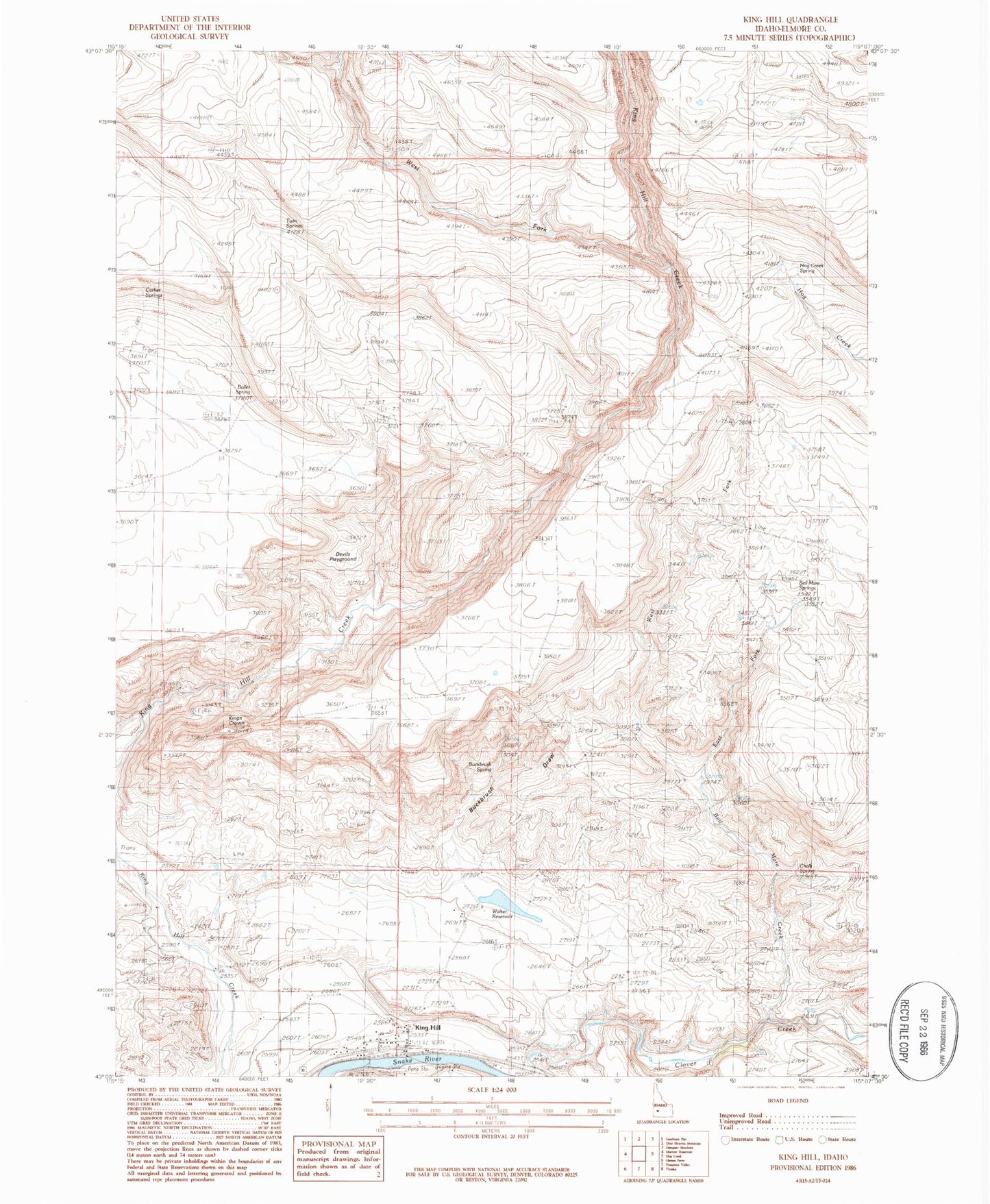
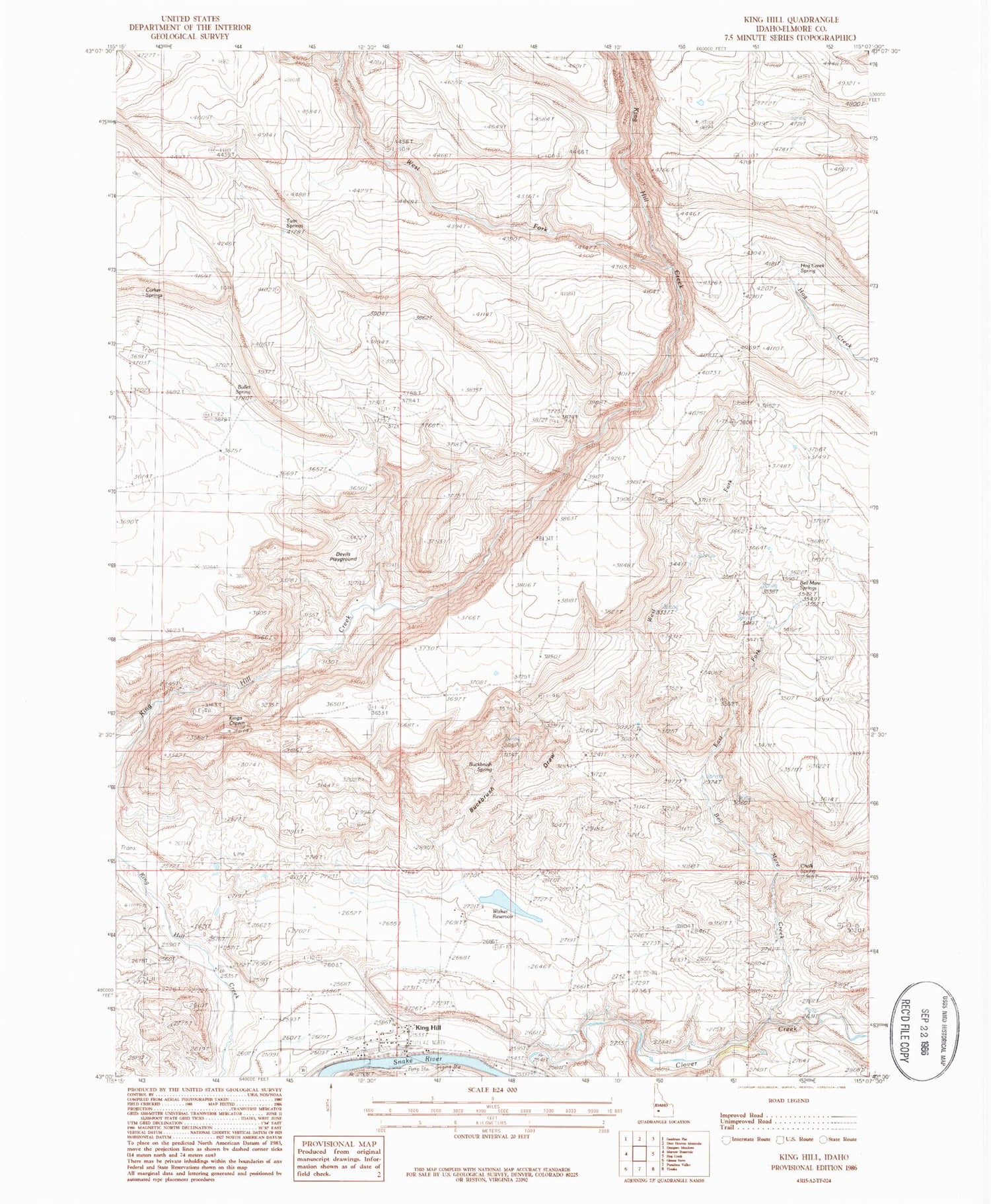
Historical USGS topographic quad map of King Hill in the state of Idaho. Map scale may vary for some years, but is generally around 1:24,000. Print size is approximately 24" x 27"
This quadrangle is in the following counties: Elmore.
The map contains contour lines, roads, rivers, towns, and lakes. Printed on high-quality waterproof paper with UV fade-resistant inks, and shipped rolled.
Contains the following named places: Bell Mare Creek, Bell Mare Spring, Big Water Hole, Buckbrush Draw, Buckbrush Spring, Bullet Spring, Chalk Spring, Corker Springs, Devils Playground, East Fork Bell Mare Creek, Hog Creek Spring, King Hill, Kings Crown, Ricke Ditch, Twin Springs, Walker Dam, Walker Ditch, Walker Reservoir, Warm Spring, West Fork Bell Mare Creek, West Fork King Hill Creek, ZIP Code: 83633