MyTopo
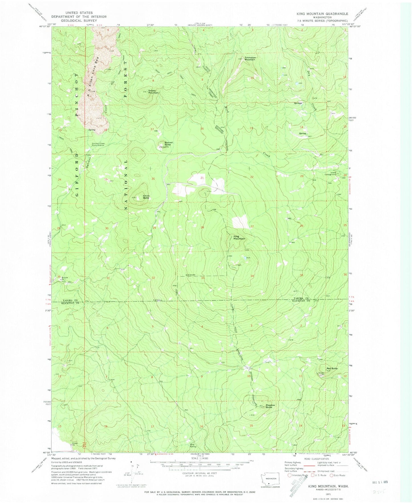
Classic USGS King Mountain Washington 7.5'x7.5' Topo Map
Regular price
$16.95
Regular price
Sale price
$16.95
Unit price
per
Couldn't load pickup availability
Historical USGS topographic quad map of King Mountain in the state of Washington. Map scale may vary for some years, but is generally around 1:24,000. Print size is approximately 24" x 27"
This quadrangle is in the following counties: Klickitat, Yakima.
The map contains contour lines, roads, rivers, towns, and lakes. Printed on high-quality waterproof paper with UV fade-resistant inks, and shipped rolled.
Contains the following named places: A G Aiken Lava Bed, Bunnell Butte, Gotchen Creek Guard Station, Island Campground, King Mountain, Meadow Butte, Mud Spring, Red Butte, Smith Butte, Snipes Mountain, Snowplow Mountain