
MyTopo
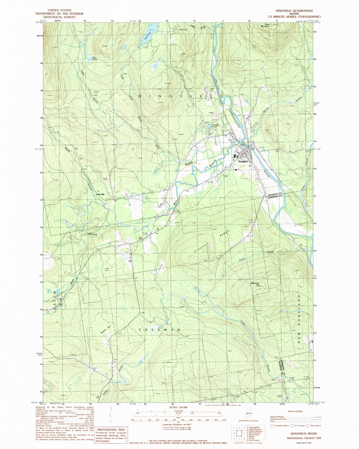
Classic USGS Kingfield Maine 7.5'x7.5' Topo Map
Couldn't load pickup availability
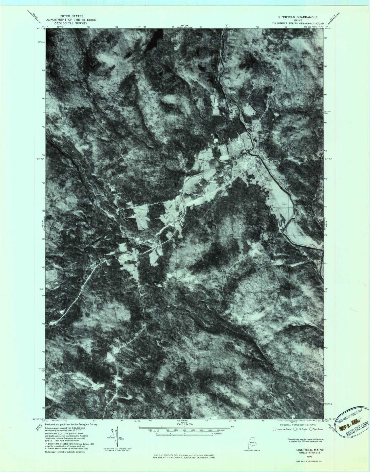
Historical USGS topographic quad map of Kingfield in the state of Maine. Map scale may vary for some years, but is generally around 1:24,000. Print size is approximately 24" x 27"
This quadrangle is in the following counties: Franklin, Somerset.
The map contains contour lines, roads, rivers, towns, and lakes. Printed on high-quality waterproof paper with UV fade-resistant inks, and shipped rolled.
Contains the following named places: Alder Brook, Alder Stream, Allen Cemetery, Burbank Nile Cemetery, Carrabassett River Reservoir, Day Pond, Deer Farms Camp and Campground, First Baptist Church, Foster Hill, Freeman Ridge, Freeman Ridge Cemetery, Freeman Ridge School, Kingfield, Kingfield Census Designated Place, Kingfield Dam, Kingfield Elementary School, Kingfield Fire Department, Kingfield Historical House, Kingfield Historical Society, Kingfield Post Office, Ledge Brook, North Freeman Cemetery, North Freeman School, Pinnacle Pond, Rapid Stream, Riverside Cemetery, Soule Mill, Stanley Museum, Stanley School, Stanley Stream, Starbird Corner Cemetery, Starbird School, Sunnyside Cemetery, Taylor Brook, Town of Kingfield, Tufts Pond, Tufts Pond Brook, Vose Mountain, Webster Free Library, Welcome Hill, West Branch Carrabassett River


