MyTopo
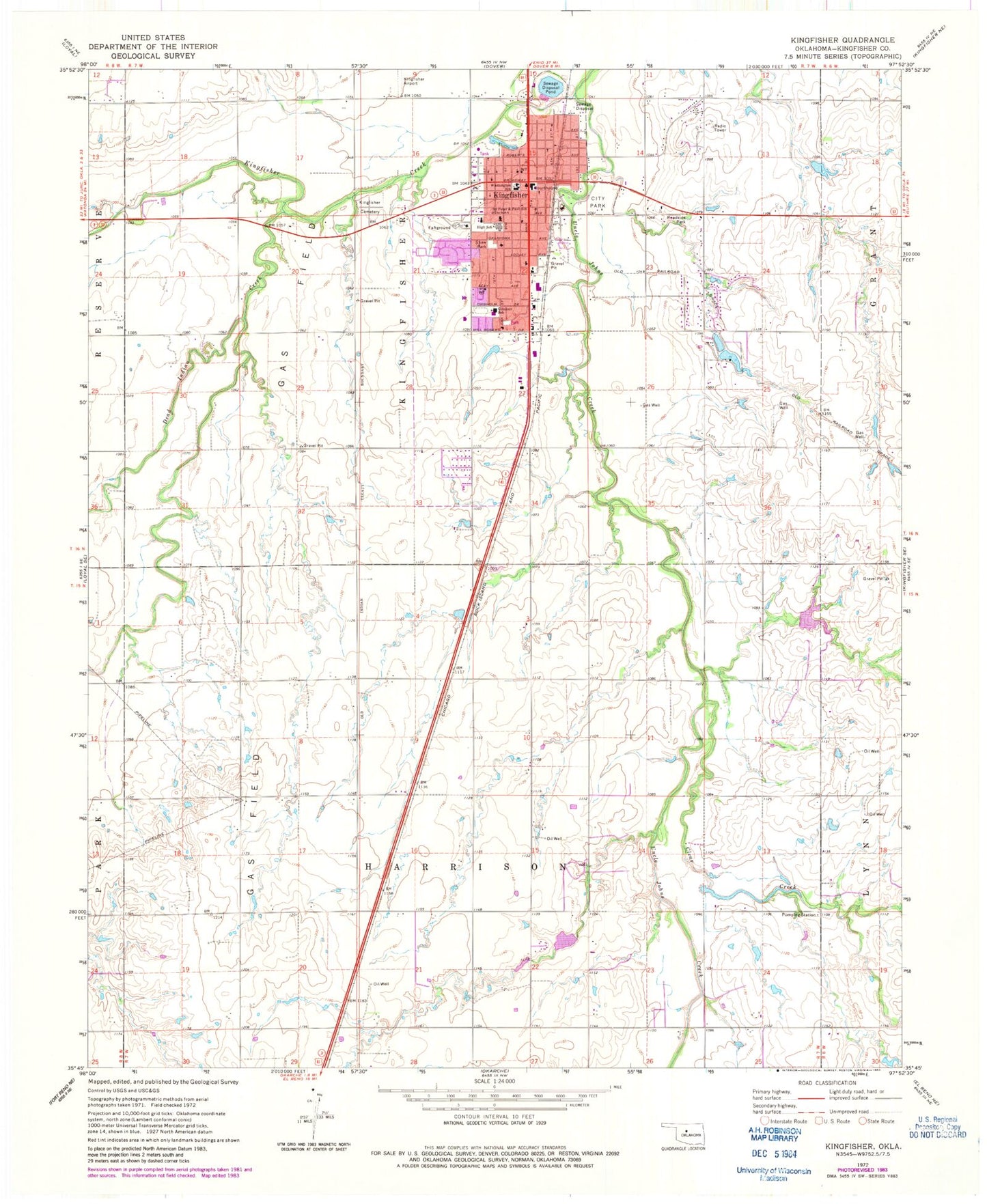
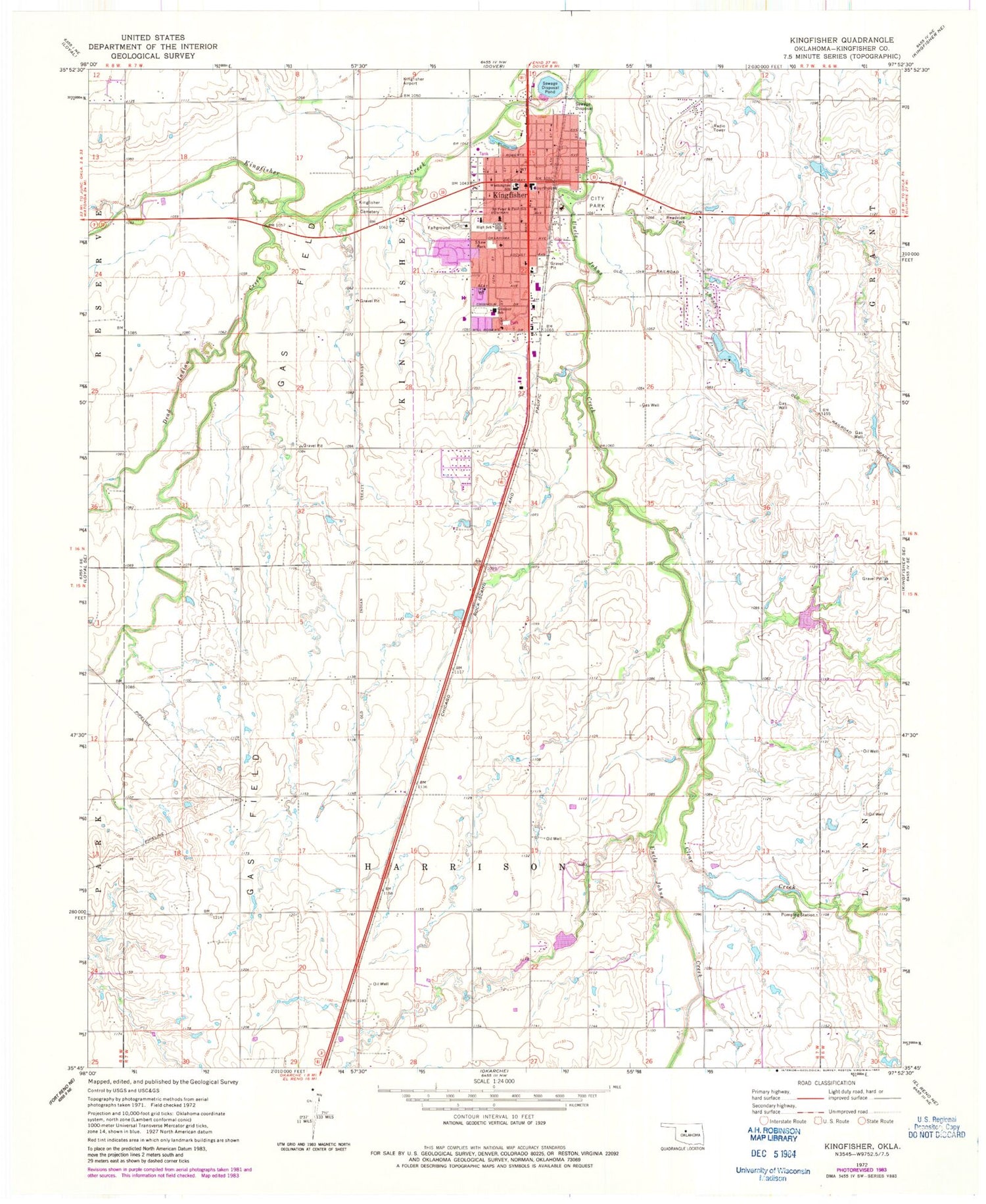
Classic USGS Kingfisher Oklahoma 7.5'x7.5' Topo Map
Couldn't load pickup availability
Historical USGS topographic quad map of Kingfisher in the state of Oklahoma. Map scale may vary for some years, but is generally around 1:24,000. Print size is approximately 24" x 27"
This quadrangle is in the following counties: Kingfisher.
The map contains contour lines, roads, rivers, towns, and lakes. Printed on high-quality waterproof paper with UV fade-resistant inks, and shipped rolled.
Contains the following named places: Church of the Nazarene, City of Kingfisher, Clear Creek, Emmanuel Lutheran Church, First Baptist Church, First Christian Church, First United Methodist Church, Gilmour Elementary School, Kingfisher, Kingfisher Airport, Kingfisher Cemetery, Kingfisher County Jail, Kingfisher County Sheriff's Department, Kingfisher Fire Department and Emergency Medical Services, Kingfisher High School, Kingfisher Middle School, Kingfisher Police Dept, Kingfisher Post Office, Kingfisher Regional Hospital, Kingfisher Sewage Disposal Dam, Kingfisher Sewage Disposal Pond, Lighthouse Praise and Worship Church, Oak Street Baptist Church, Okarche-Cashion Division, Oknoname 07309 Dam, Oknoname 07309 Reservoir, Oknoname 07311 Dam, Pilgrim Rest Baptist Church, Reherman Airport, Saints Peter and Paul School, Shaw Park, Township of Harrison, Township of Kingfisher, Uncle John Creek Site 14 Dam, Uncle John Creek Site 14 Reservoir, Uncle John Creek Site 2 Dam, Uncle John Creek Site 2 Reservoir, Uncle Johns Creek, Union Hall Cemetery, Victory Baptist Church, Washington School, Winter Camp Creek, ZIP Code: 73750