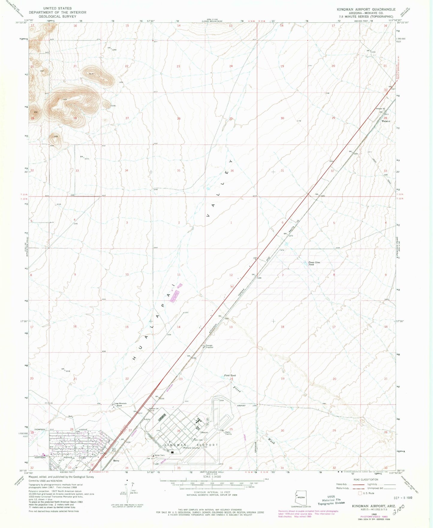
MyTopo
Classic USGS Kingman Airport Arizona 7.5'x7.5' Topo Map
Couldn't load pickup availability
Historical USGS topographic quad map of Kingman Airport in the state of Arizona. Map scale may vary for some years, but is generally around 1:24,000. Print size is approximately 24" x 27"
This quadrangle is in the following counties: Mohave.
The map contains contour lines, roads, rivers, towns, and lakes. Printed on high-quality waterproof paper with UV fade-resistant inks, and shipped rolled.
Contains the following named places: Berry, Butler, Calvary Baptist Church, Fence Line Tank, Field Tank, Frees Wash, Kingman Airport, Kingman Army Air Field, Long Mountain Ranch, Northern Arizona Consolidated Fire District Station 32, Northern Arizona Consolidated Fire District Station 34, Walapai, Walapai Railroad Station