MyTopo
Classic USGS Kingman SE Arizona 7.5'x7.5' Topo Map
Regular price
$16.95
Regular price
Sale price
$16.95
Unit price
per
Couldn't load pickup availability
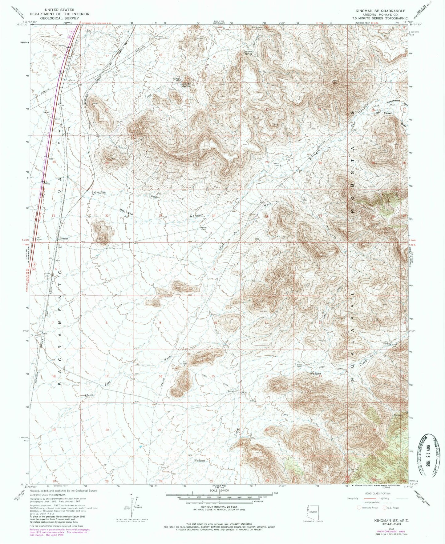
Historical USGS topographic quad map of Kingman SE in the state of Arizona. Map scale may vary for some years, but is generally around 1:24,000. Print size is approximately 24" x 27"
This quadrangle is in the following counties: Mohave.
The map contains contour lines, roads, rivers, towns, and lakes. Printed on high-quality waterproof paper with UV fade-resistant inks, and shipped rolled.
Contains the following named places: Boulder Creek Lode Mine, Boulder Spring, Boulder Well, Cottonwood Canyon, Drake, Griffith, Griffith Tank, Holy Moses Mine, Lookout Spring, Number Five Trough, Yellow Flower Creek