MyTopo
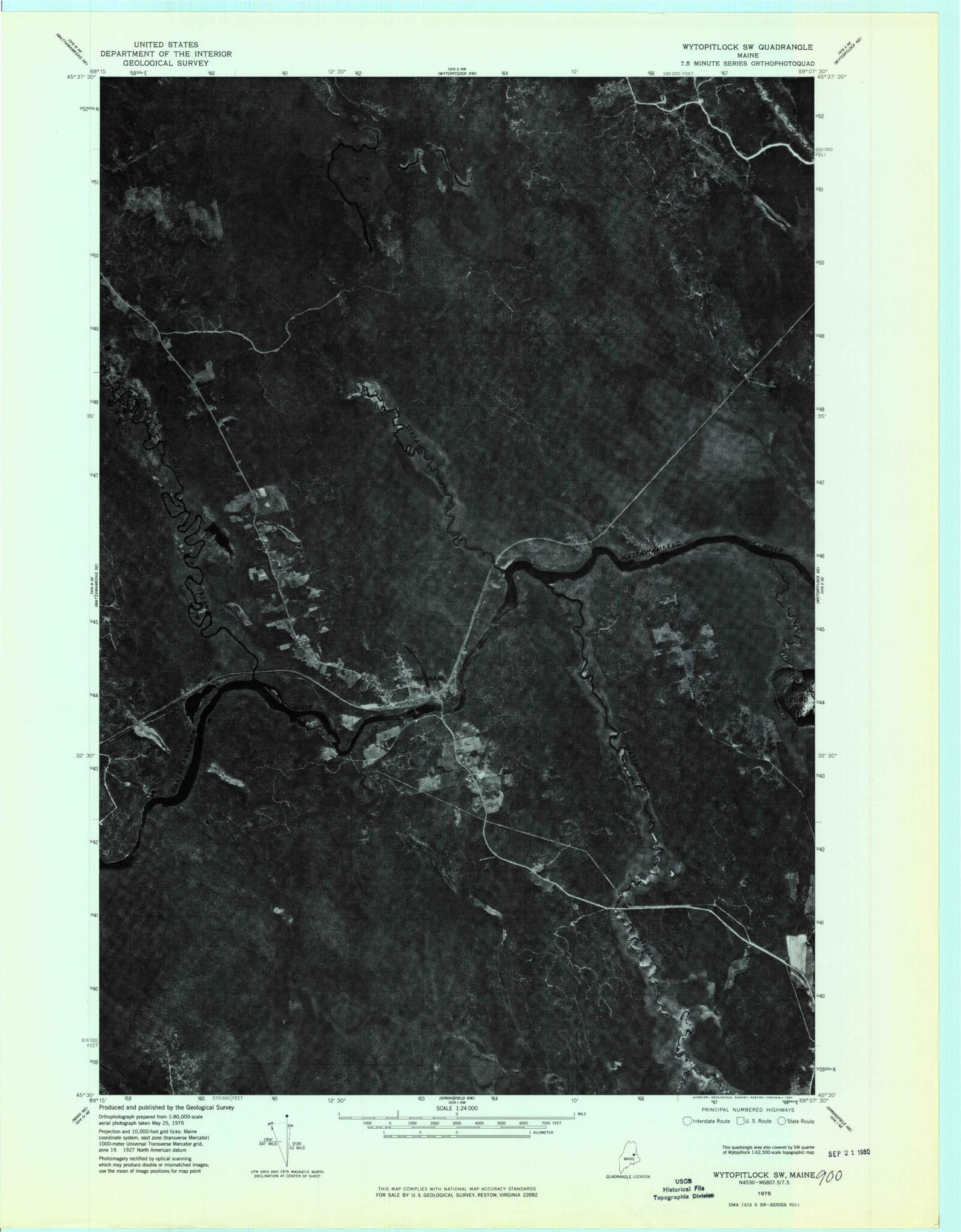
Classic USGS Kingman Maine 7.5'x7.5' Topo Map
Couldn't load pickup availability
Historical USGS topographic quad map of Kingman in the state of Maine. Map scale may vary for some years, but is generally around 1:24,000. Print size is approximately 24" x 27"
This quadrangle is in the following counties: Aroostook, Penobscot.
The map contains contour lines, roads, rivers, towns, and lakes. Printed on high-quality waterproof paper with UV fade-resistant inks, and shipped rolled.
Contains the following named places: Billy Doe Bog, Boynton School, Carlisle Brook, Crossuntic Stream, Kingman, Kingman Elementary School, Kingman Post Office, Mattagodus Stream, Merriman Brook, Molunkus Stream, Mud Brook, Spencer Brook, Township of Kingman, Unorganized Territory of Kingman, West Branch Mattagodus Stream, Whitten Brook, ZIP Code: 04451