MyTopo
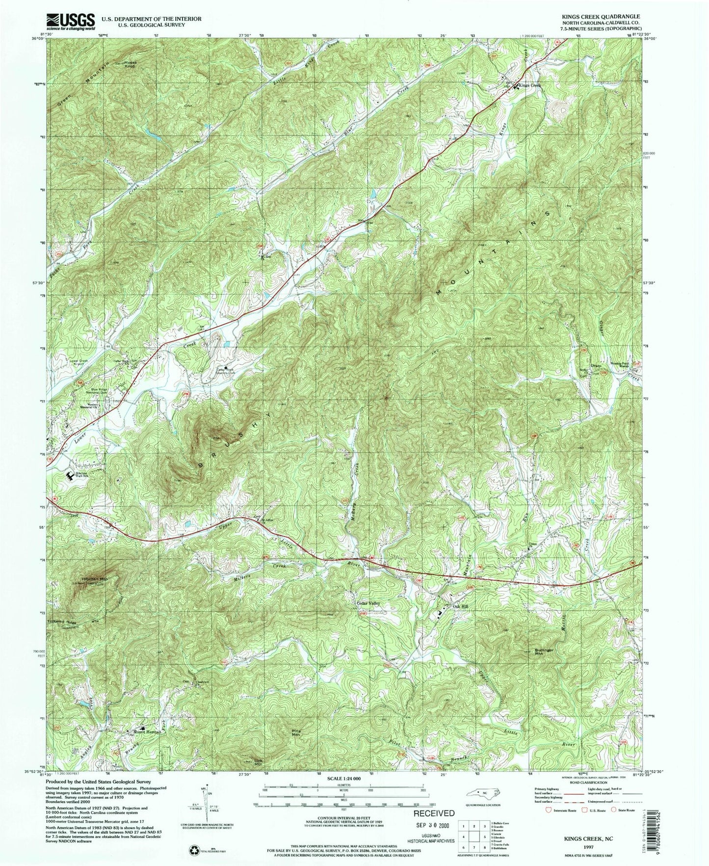
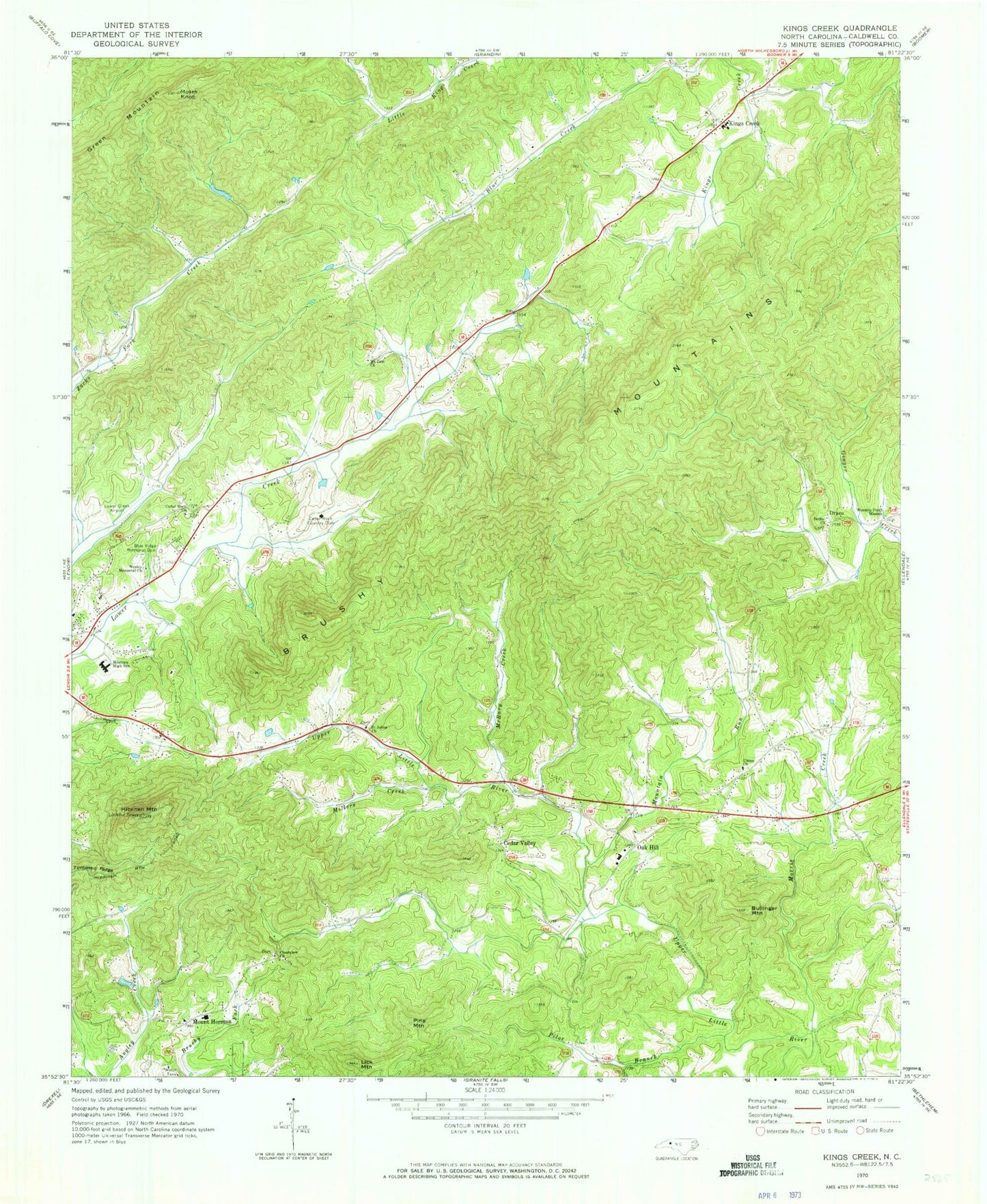
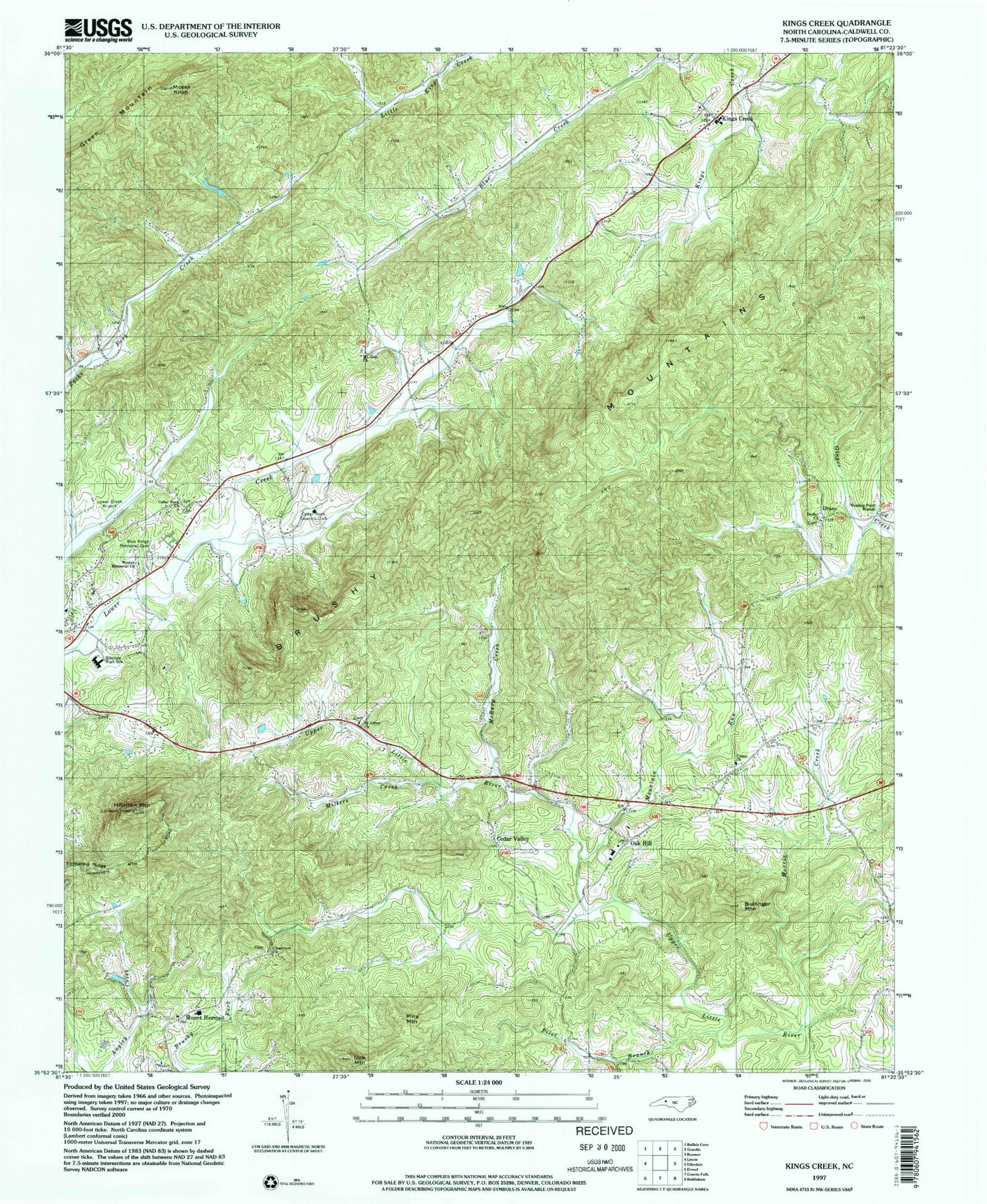
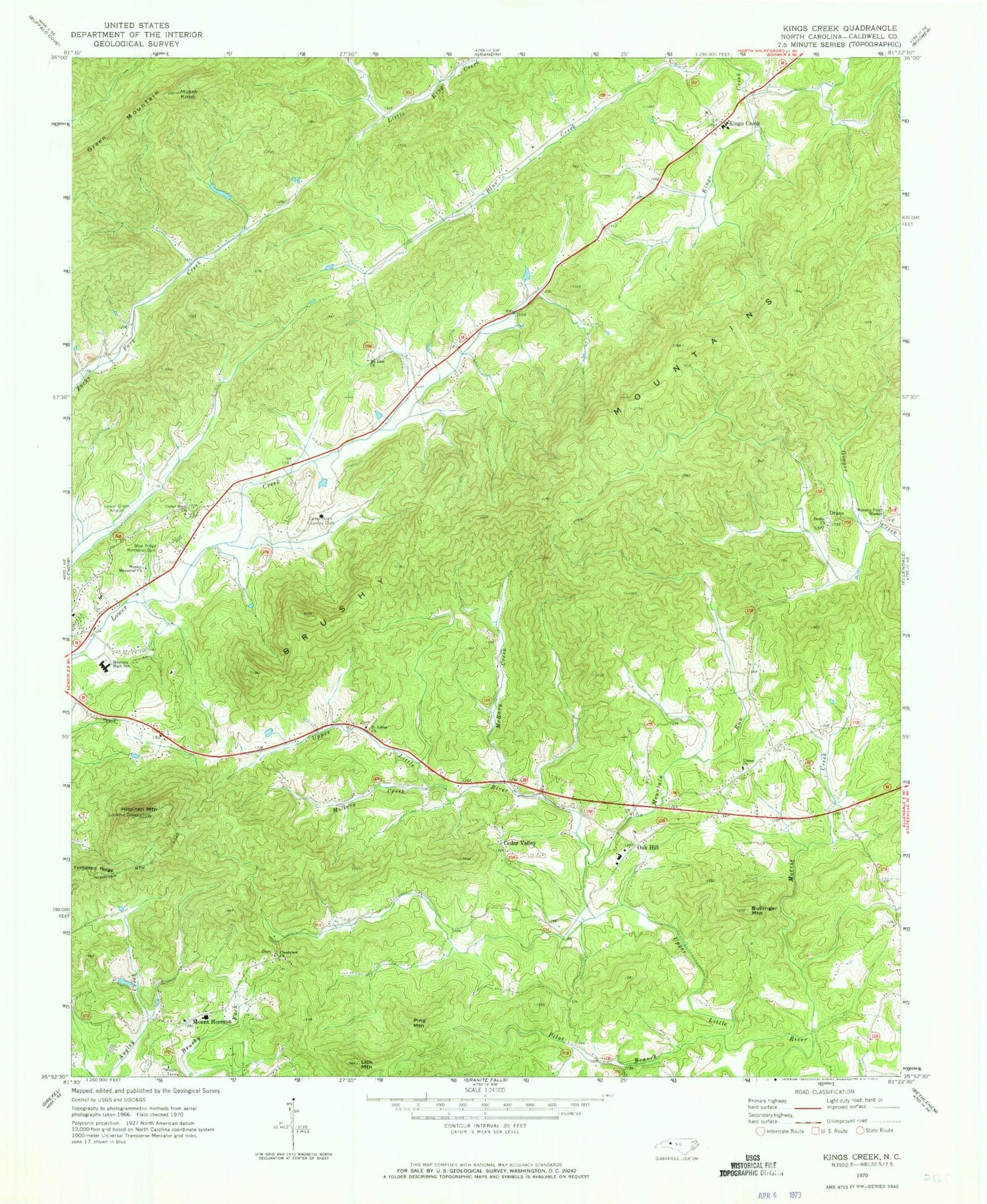
Classic USGS Kings Creek North Carolina 7.5'x7.5' Topo Map
Couldn't load pickup availability
Historical USGS topographic quad map of Kings Creek in the state of North Carolina. Map scale may vary for some years, but is generally around 1:24,000. Print size is approximately 24" x 27"
This quadrangle is in the following counties: Caldwell.
The map contains contour lines, roads, rivers, towns, and lakes. Printed on high-quality waterproof paper with UV fade-resistant inks, and shipped rolled.
Contains the following named places: Auld Farm, Berkshire Hills, Bethel Church, Blue Ridge Memorial Cemetery, Bullinger Mountain, Cedar Rock, Cedar Rock Church, Cedar Rock Country Club, Cedar Rock Estates, Cedar Valley, Clearview Church, Draco, Emanuel, Girl Scout Dam, Girl Scout Lake, Green Mountain, Hibriten, Hibriten High School, Hibriten Mountain, Kings Creek, Kings Creek School, Kings Creek Volunteer Fire Department, Laurel Hollow, LeMar Park, Lenoir Community Church, Lenoir Water Supply Dam, Lenoir Water Supply Lake, Lick Mountain, Little River Volunteer Fire Department, Lower Creek Airport, Maple Valley, McRary Creek, Millers Creek, Morris Creek, Moses Knob, Mount Herman, Mount Zion Church, Mountain Run, Oak Hill, Oak Hill School, Old Farm, Pilot Branch, Pine Mountain, Saint Johns Church, Timbered Ridge, Township of Little River, Turkey Hen Quarry, Union Baptist Church, Village of Cedar Rock, Wesley Memorial Church, Worship Point Mission


