
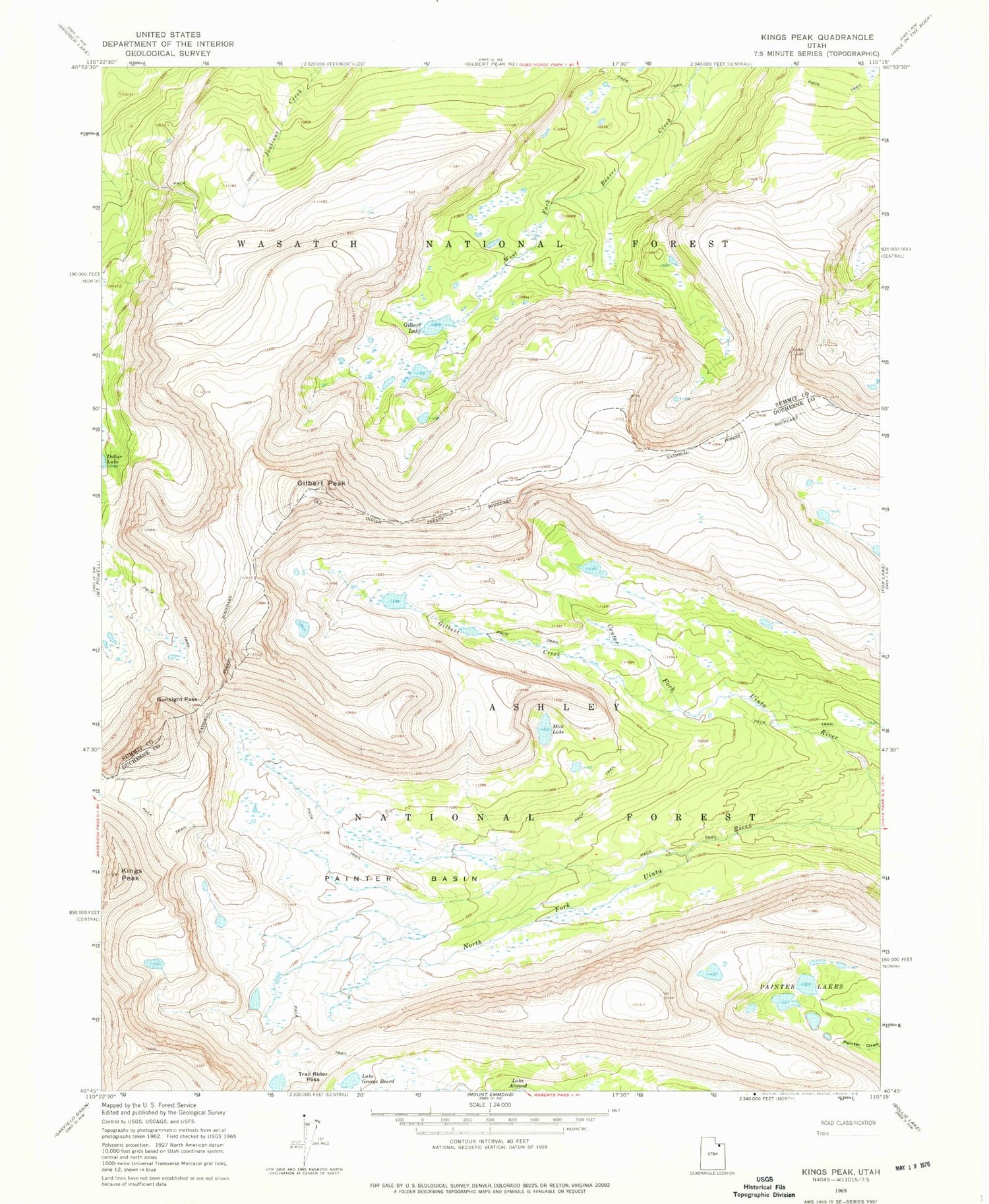
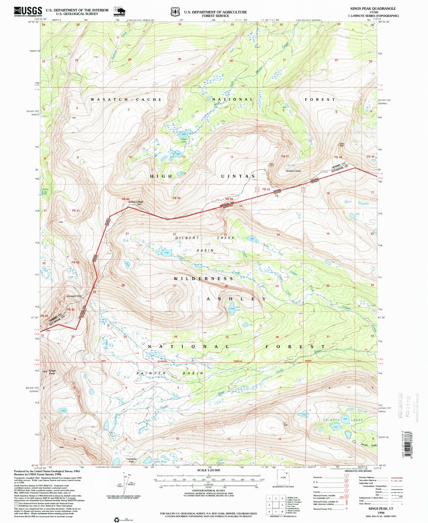
MyTopo
USGS Classic Kings Peak Utah 7.5'x7.5' Topo Map
Regular price
$16.95
Regular price
Sale price
$16.95
Unit price
per
Couldn't load pickup availability
Historical USGS topographic quad map of Kings Peak in the state of Utah. Scale: 1:24000. Print size: 24" x 27"
This quadrangle is in the following counties: Duchesne, Summit.
The map contains contour lines, roads, rivers, towns, lakes, and grids including latitude / longitude and UTM / MGRS. Printed on high-quality waterproof paper with UV fade-resistant inks.
Contains the following named places: Center Fork Gilbert Creek, Lake George Beard, Gilbert Lake, Gilbert Peak, Gunsight Pass, Kings Peak, Milk Lake, Painter Basin, Painter Lakes, Trail Rider Pass, North Fork Gilbert Creek, Gilbert Creek Basin


