MyTopo
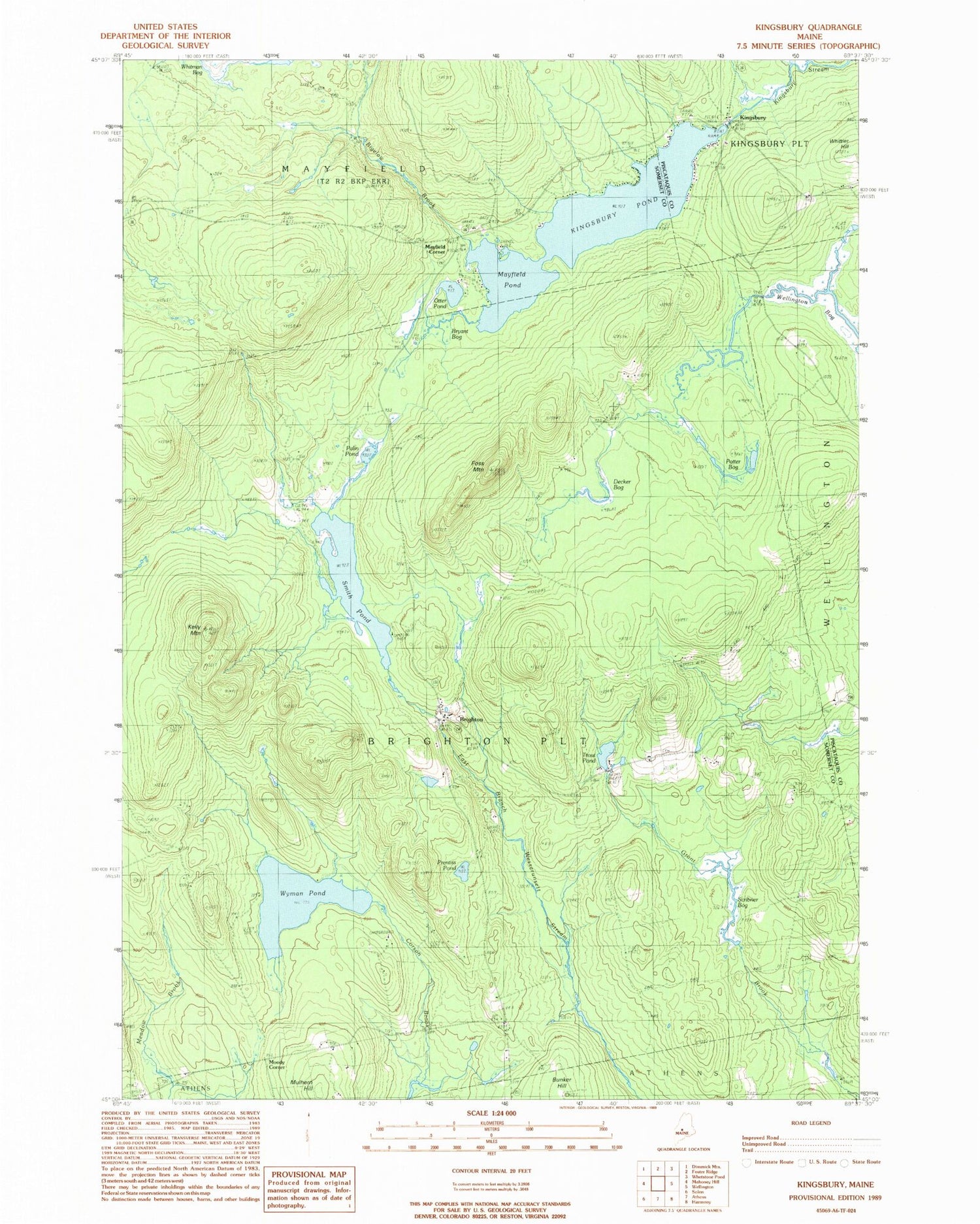
Classic USGS Kingsbury Maine 7.5'x7.5' Topo Map
Couldn't load pickup availability
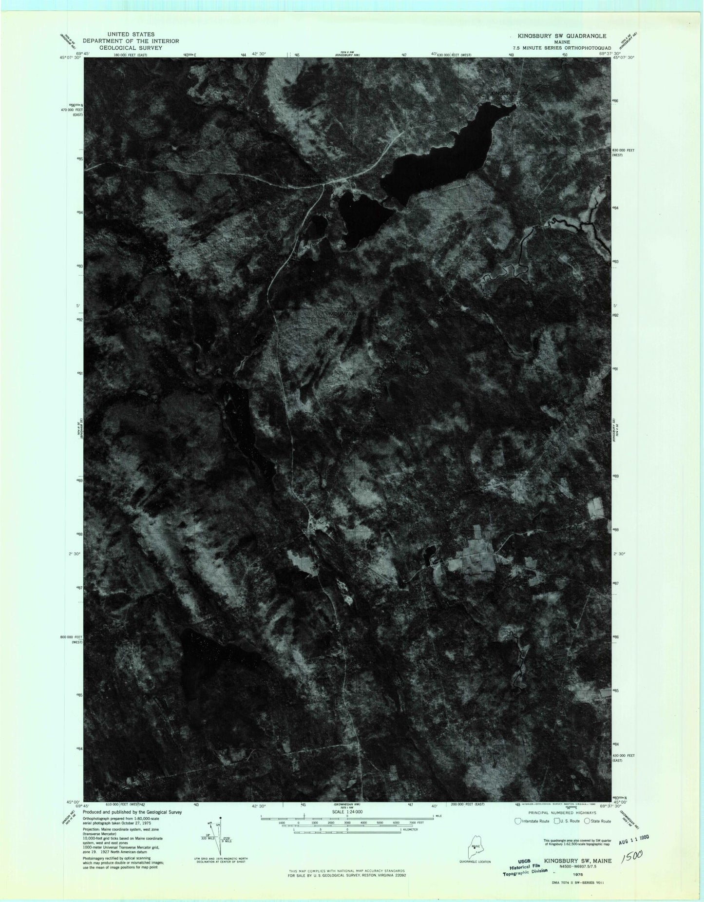
Historical USGS topographic quad map of Kingsbury in the state of Maine. Typical map scale is 1:24,000, but may vary for certain years, if available. Print size: 24" x 27"
This quadrangle is in the following counties: Piscataquis, Somerset.
The map contains contour lines, roads, rivers, towns, and lakes. Printed on high-quality waterproof paper with UV fade-resistant inks, and shipped rolled.
Contains the following named places: Bigelow Brook, Brighton, Bryant Bog, Bunker Hill, Decker Bog, Foss Hill Cemetery, Foss Mountain, Kelly Mountain, Kingsbury Pond, Mayfield Pond, Otter Pond, Palin Pond, Potter Bog, Prentiss Pond, Scribner Bog, Smith Pond, Trout Pond, Wellington Bog, Wyman Pond, Plantation of Brighton, Kingsbury, Mayfield Corner, Moody Corner, Kingsbury Dam, Flanders Cemetery, Kelley Cemetery