MyTopo
Classic USGS Kingsbury Texas 7.5'x7.5' Topo Map
Couldn't load pickup availability
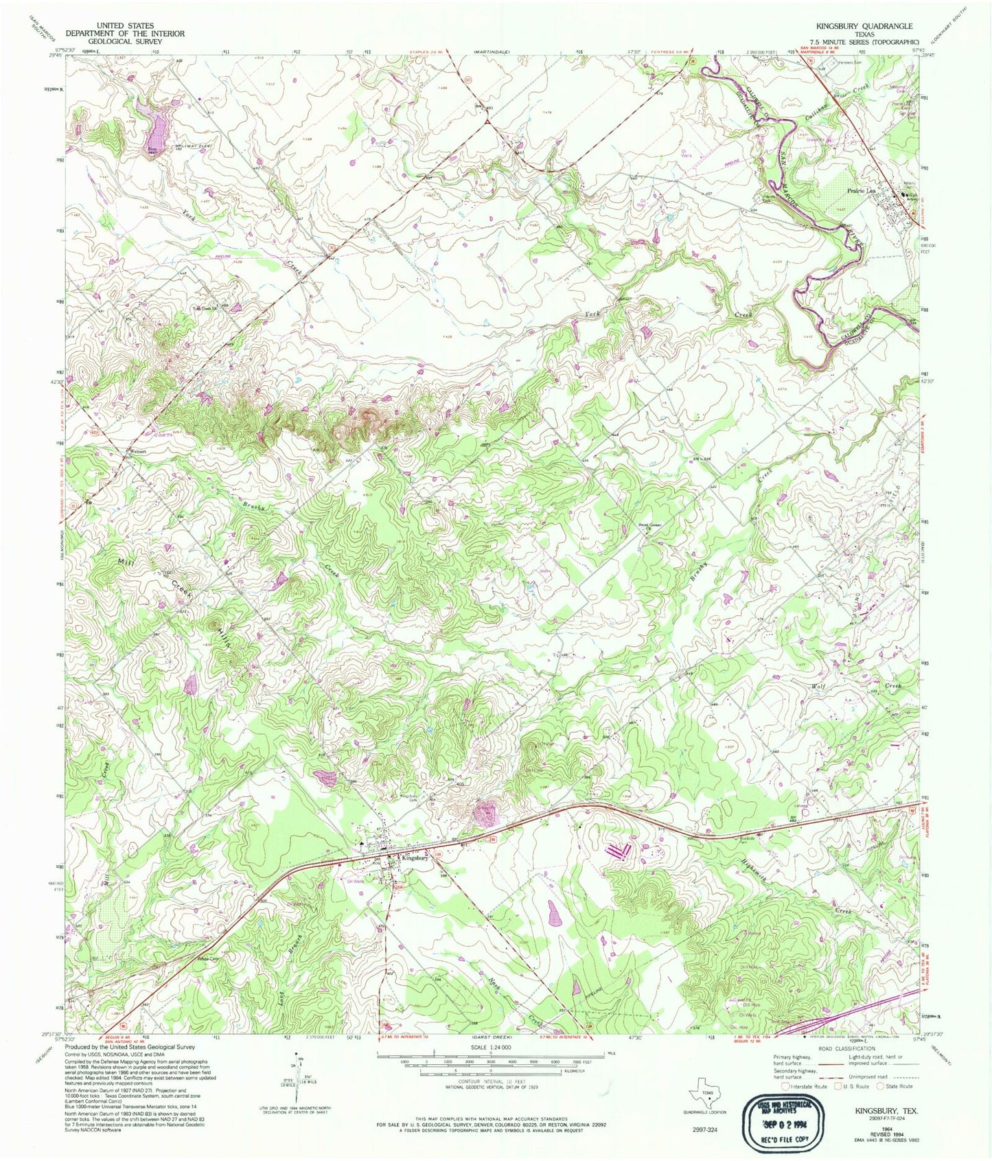
Historical USGS topographic quad map of Kingsbury in the state of Texas. Map scale may vary for some years, but is generally around 1:24,000. Print size is approximately 24" x 27"
This quadrangle is in the following counties: Caldwell, Guadalupe.
The map contains contour lines, roads, rivers, towns, and lakes. Printed on high-quality waterproof paper with UV fade-resistant inks, and shipped rolled.
Contains the following named places: Appling Cemetery, Baker Lake, Baker Lake Dam, Callihan Creek, Cottonwood Creek, Happle Cemetery, Kingsbury, Kingsbury Baptist Church, Kingsbury Cemetery, Kingsbury Census Designated Place, Kingsbury Post Office, Kingsbury Volunteer Fire Department, Mill Creek Hills, Northeast Guadalupe Division, Old Kingsbury Aerodrome, Pentress Cemetery, Prairie Lea, Prairie Lea Cemetery, Prairie Lea Post Office, San Juan Number 2 Cemetery, Soil Conservation Service Site 16 Dam, Soil Conservation Service Site 16 Reservoir, Sweet Canaan Church, Weinert, York Creek, York Creek Church, ZIP Codes: 78638, 78661