MyTopo
Classic USGS Kingston Springs Tennessee 7.5'x7.5' Topo Map
Couldn't load pickup availability
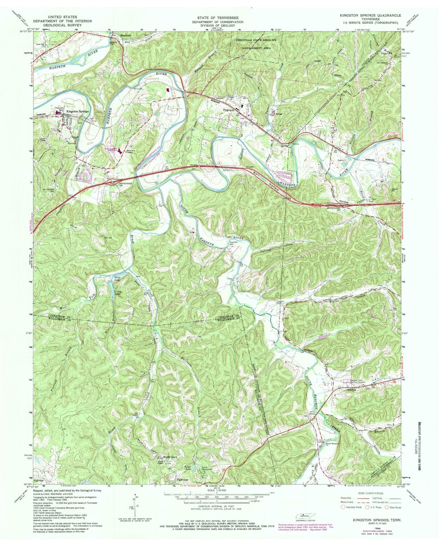
Historical USGS topographic quad map of Kingston Springs in the state of Tennessee. Typical map scale is 1:24,000, but may vary for certain years, if available. Print size: 24" x 27"
This quadrangle is in the following counties: Cheatham, Davidson, Williamson.
The map contains contour lines, roads, rivers, towns, and lakes. Printed on high-quality waterproof paper with UV fade-resistant inks, and shipped rolled.
Contains the following named places: South Harpeth River, Sullivan Ridge, Thronton Cemetery, Turner Creek, Wards Chapekl, West Fork Brush Creek, Willis Branch, Beard Church, Beech Creek, Bell Hollow, Boston Church, Brush Creek, Brush Creek, Camp Marymount, Cave Springs School, Cowhorn Branch, Craig Lake, Dog Creek, East Fork Creek, Flatrock Branch, Hannah Branch, Harpeth Hills Memory Gardens, Harrison Branch, Hatcher Hollow, Kingston Springs, Lever Lake, Linton, Linton Branch, Lone Oak Church, Mount Pleasant Cemetery, Newsom Branch, Pegram, Poplar Creek, Price Lake, Pritchard Branch, Shacklett, South Harpeth Church, Westview Chapel, Old Charlotte Church, Lever Lake Dam, Craig Lake Dam, Jones Creek, South Harpeth School (historical), Pegram Elementary School, South Cheatham Junior High School, Kingston Springs Elementary School, Blackwood School (historical), Cave Springs, Buffalo Gap, South Harpeth Cemetery, Kingston Springs Division (historical), Pegram Post Office, Kingston Spring, Kingston Springs Post Office, Town of Kingston Springs, Town of Pegram, Commissioner District 6, Black Friar Farm, Pegram Volunteer Fire Department, Kingston Springs Fire Department Station 1, Kingston Springs Fire Department Station 2, Kingston Springs Police Department, Middle Tennessee State Veterans Cemetery


