MyTopo
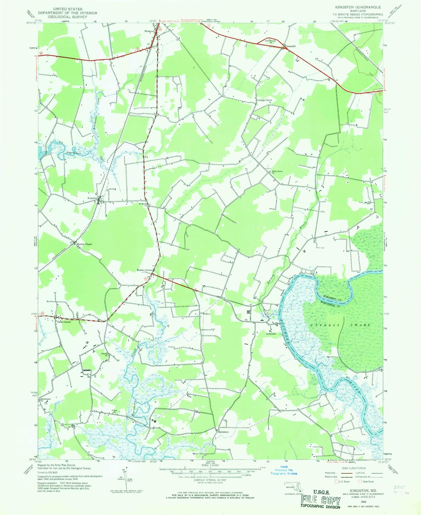
Classic USGS Kingston Maryland 7.5'x7.5' Topo Map
Couldn't load pickup availability
Historical USGS topographic quad map of Kingston in the state of Maryland. Map scale may vary for some years, but is generally around 1:24,000. Print size is approximately 24" x 27"
This quadrangle is in the following counties: Somerset, Worcester.
The map contains contour lines, roads, rivers, towns, and lakes. Printed on high-quality waterproof paper with UV fade-resistant inks, and shipped rolled.
Contains the following named places: Anderson Farm Airport, Annemessex Creek, Christ Church, Conners Corner, Cottage Grove, Coventry Parish Church, Cypress Swamp, District 13 Westover, District 3 Brinkleys, Ebenezer Church, Frogeye, Great Hope Golf Course, Greenhill, Holly Grove Christian School, Holly Grove Church, Hudson Corner, J M Towes Vocational School, Kingston, Kingston Post Office, Liberia Church, Marumsco, Moores Chapel, Multi Service Community Center, Murphy Airport, Pauls Corner, Quindocqua Church, Rehobeth, Rehobeth Baptist Cemetery, Rehobeth Baptist Church, Rehobeth Branch, Rehobeth Methodist Cemetery, Rehobeth Post Office, Rehobeth Presbyterian Cemetery, Rehobeth Presbyterian Church, Rehoboth United Methodist Church, Saint Elizabeths Church, Saint James Church, Saint Marks Church, Saint Marks Episcopal Cemetery, Saint Pauls Church, Somerset County Landfill, Somerset Intermediate School, Wesley Church, Westover, WOLC-FM (Princess Anne), ZIP Codes: 21838, 21871