MyTopo
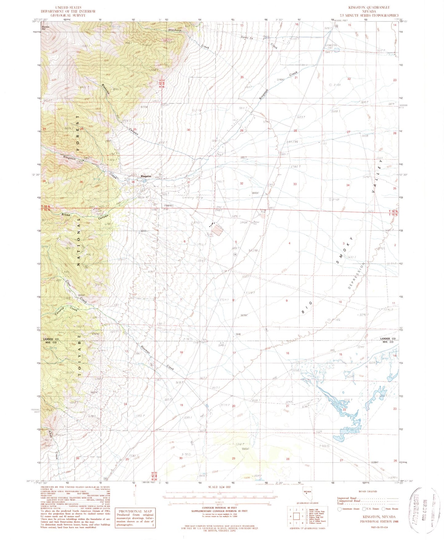
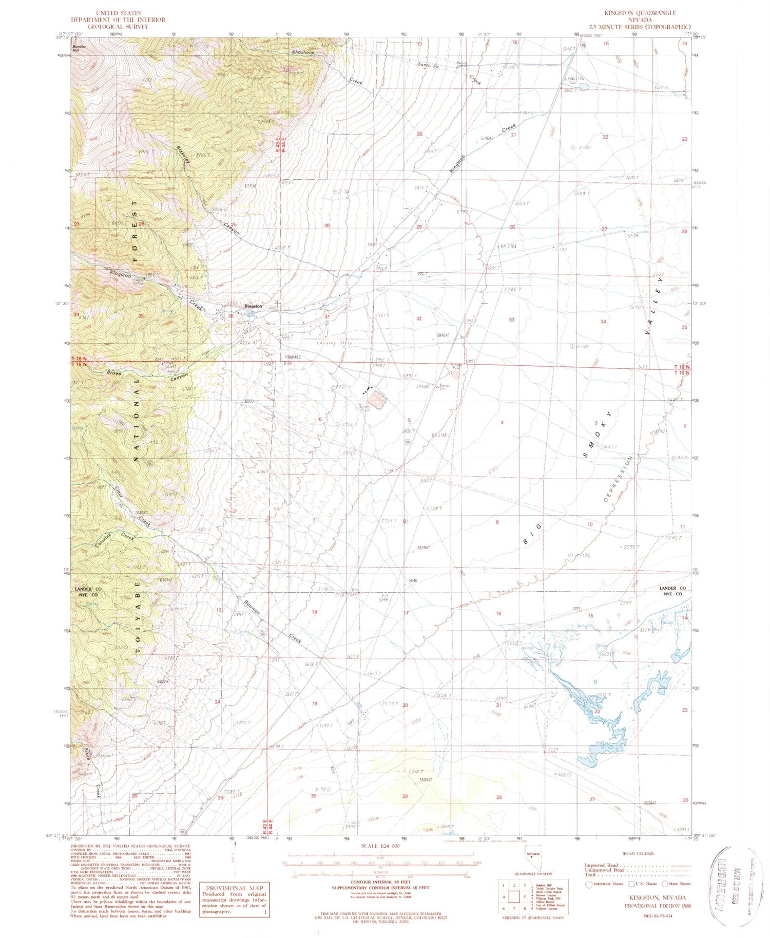
Classic USGS Kingston Nevada 7.5'x7.5' Topo Map
Couldn't load pickup availability
Historical USGS topographic quad map of Kingston in the state of Nevada. Map scale may vary for some years, but is generally around 1:24,000. Print size is approximately 24" x 27"
This quadrangle is in the following counties: Lander, Nye.
The map contains contour lines, roads, rivers, towns, and lakes. Printed on high-quality waterproof paper with UV fade-resistant inks, and shipped rolled.
Contains the following named places: Austin Ranger District, Blakeley Canyon, Bow Mine, Bowman Creek, Bowman Mine, Bowman Ranch, Broad Canyon, Broad Canyon Mine, Carseley Creek, Clear Creek, Golden Star Mine, Guadalajara, Kingston, Kingston Airport, Kingston Canyon, Kingston Cemetery, Kingston Census Designated Place, Kingston Placer Mine, Kingston Post Office, Kingston Ranch, Kingston Volunteer Fire Department, Miniums Station, Mother Lode Mine, Santa Fe Canyon, Santa Fe Creek, Schmidtlein Ranch, Shoshone Creek, Smoky Valley School, Triple T Ranch, Victorine Mill