MyTopo
Classic USGS Kingwood Pennsylvania 7.5'x7.5' Topo Map
Couldn't load pickup availability
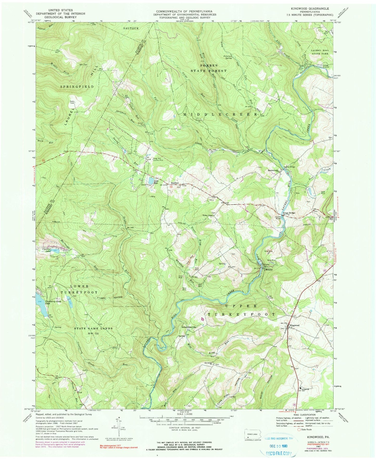
Historical USGS topographic quad map of Kingwood in the state of Pennsylvania. Typical map scale is 1:24,000, but may vary for certain years, if available. Print size: 24" x 27"
This quadrangle is in the following counties: Fayette, Somerset.
The map contains contour lines, roads, rivers, towns, and lakes. Printed on high-quality waterproof paper with UV fade-resistant inks, and shipped rolled.
Contains the following named places: Allen Creek, Ansell Run, Barronvale, Blue Hole Creek, Clairton Lake, Cole Run, Crab Run, Cranberry Glade Lake, Cranberry Glade Run, Fall Creek, Flugey Hollow, Green King Run, Harbaugh Run, Kings Bridge, Kingwood, Kingwood School, Lost Creek, Metzler, Mose King Run, Old Bethel Church, Paterson Spring, Lake Pyle, Sandy Run, Scullton, Showman Run, Wesley Chapel, Whipkey Run, Whipkey Dam, Garys Run, Cranberry Glade Dam, Laural Ridge State Park, Cole Run Falls, Blue Hole Spring, Blue Hole, Schweibinzville, Harbaugh School (historical), King School, Barron Church (historical), King School, Hillview Church, Kings Mountain Country Club, Township of Middlecreek, Township of Upper Turkeyfoot, Allen Creek, Ansell Run, Barronvale, Blue Hole Creek, Clairton Lake, Cole Run, Crab Run, Cranberry Glade Lake, Cranberry Glade Run, Fall Creek, Flugey Hollow, Green King Run, Harbaugh Run, Kings Bridge, Kingwood, Kingwood School, Lost Creek, Metzler, Mose King Run, Old Bethel Church, Paterson Spring, Lake Pyle, Sandy Run, Scullton, Showman Run, Wesley Chapel, Whipkey Run, Whipkey Dam, Garys Run, Cranberry Glade Dam, Laural Ridge State Park, Cole Run Falls, Blue Hole Spring, Blue Hole, Schweibinzville, Harbaugh School (historical), King School, Barron Church (historical), King School, Hillview Church, Kings Mountain Country Club, Township of Middlecreek, Township of Upper Turkeyfoot


