MyTopo
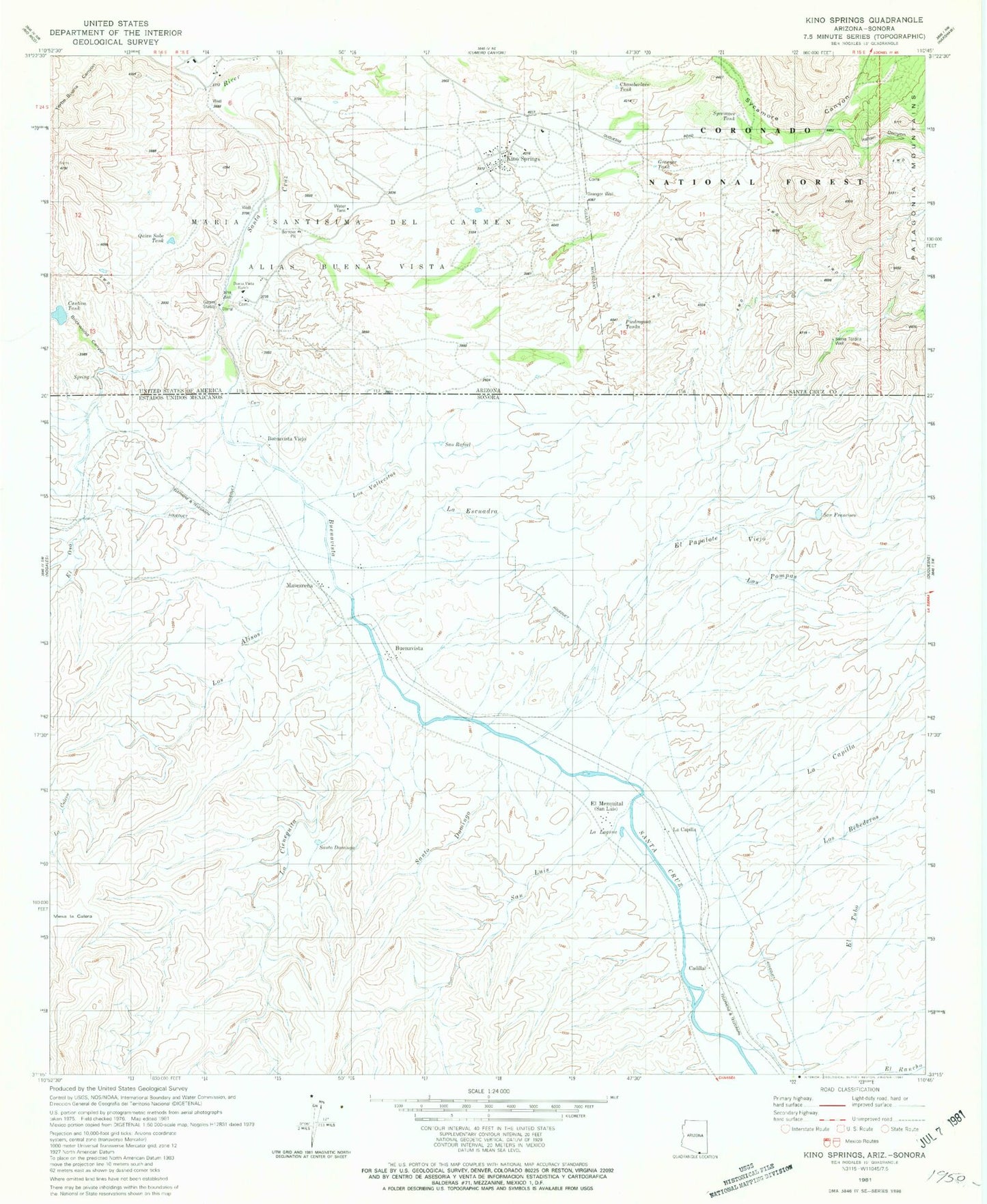
Classic USGS Kino Springs Arizona 7.5'x7.5' Topo Map
Couldn't load pickup availability
Historical USGS topographic quad map of Kino Springs in the state of Arizona. Map scale may vary for some years, but is generally around 1:24,000. Print size is approximately 24" x 27"
This quadrangle is in the following counties: Santa Cruz.
The map contains contour lines, roads, rivers, towns, and lakes. Printed on high-quality waterproof paper with UV fade-resistant inks, and shipped rolled.
Contains the following named places: Anguis House, Benedicts, Brickwood Canyon, Brickwoods Ranch, Buena Vista Ranch, Cautiva Tank, Chamberlain Tank, Correllos House, Granger Corral, Granger Tank, Granger Well, Guadalupe Cruz, Italian Canyon, Kino Springs, Kino Springs Census Designated Place, Kino Springs Country Club, Lows Ranch, Maria Santisima del Carmen, Morales House, Pecks, Piedra Gosa Tank Number Two, Piedragosa Tanks, Quien Sabe Tank, Sierra Tordilla Corral, Sierra Tordilla Well, Stanley Corral, Sycamore Tank, Verba Buena Ranch