MyTopo
Classic USGS Kinross Michigan 7.5'x7.5' Topo Map
Couldn't load pickup availability
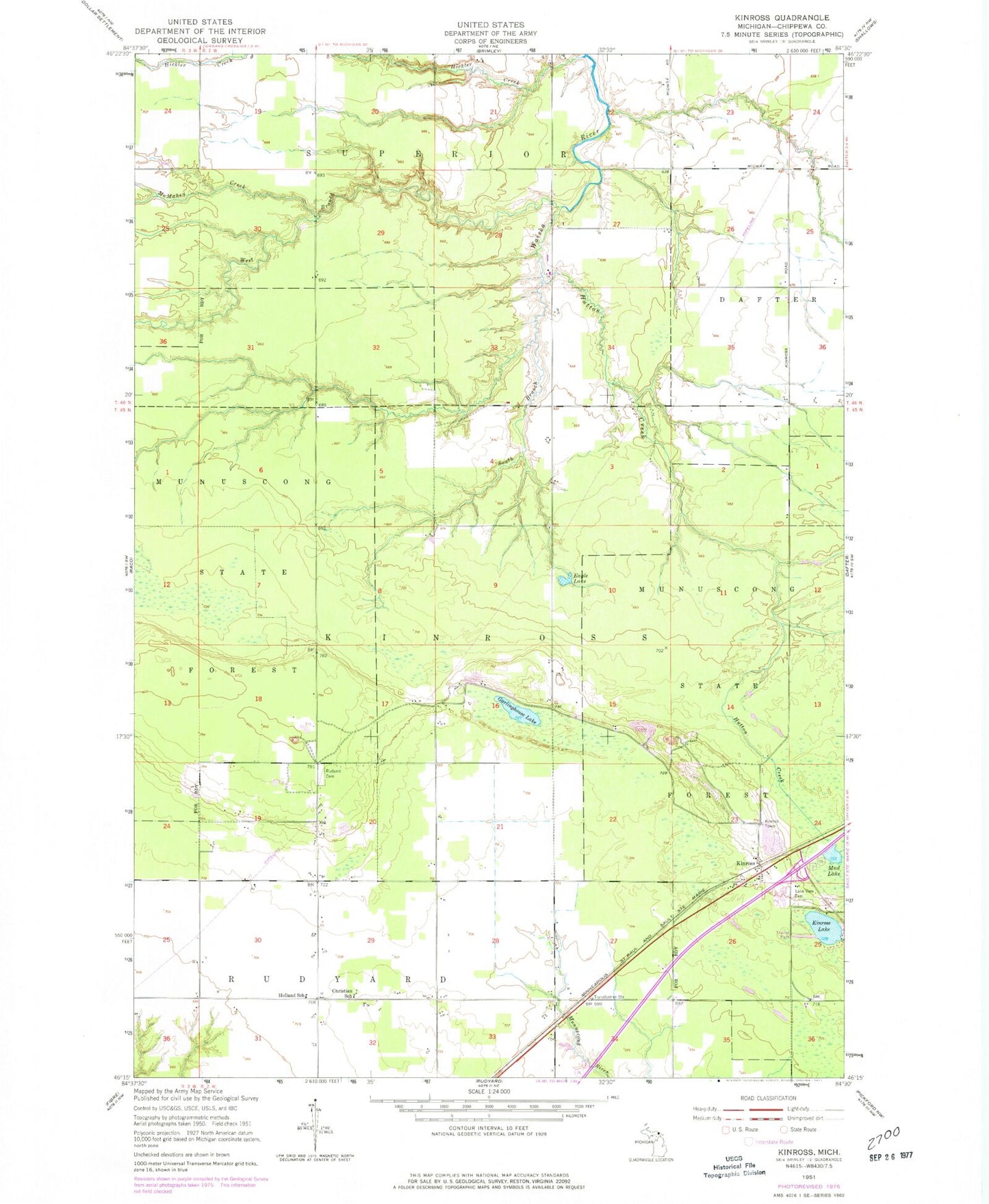
Historical USGS topographic quad map of Kinross in the state of Michigan. Map scale may vary for some years, but is generally around 1:24,000. Print size is approximately 24" x 27"
This quadrangle is in the following counties: Chippewa.
The map contains contour lines, roads, rivers, towns, and lakes. Printed on high-quality waterproof paper with UV fade-resistant inks, and shipped rolled.
Contains the following named places: Chippewa County, Christian School, Eagle Lake, Garkinghouse Lake, Hickler Creek, Holland School, Hutton Creek, Kinross, Kinross Lake, Kinross Post Office, Kinross Station, Kinross Tower, Lakeview Cemetery, McMahen Creek, Mud Lake, Open Door Baptist Indian Church, Rudyard Township Cemetery, South Branch Waiska River, West Branch Waiska River