MyTopo
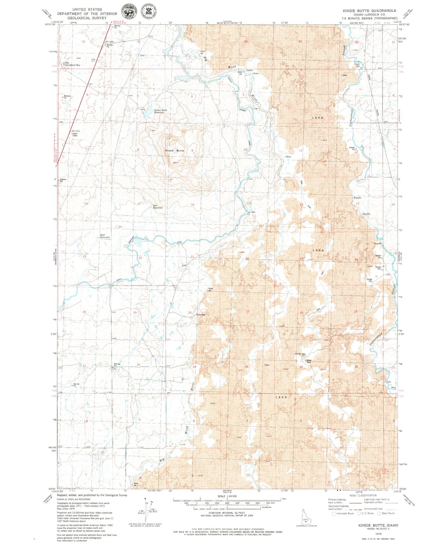
Classic USGS Kinzie Butte Idaho 7.5'x7.5' Topo Map
Regular price
$16.95
Regular price
Sale price
$16.95
Unit price
per
Couldn't load pickup availability
Historical USGS topographic quad map of Kinzie Butte in the state of Idaho. Map scale may vary for some years, but is generally around 1:24,000. Print size is approximately 24" x 27"
This quadrangle is in the following counties: Lincoln.
The map contains contour lines, roads, rivers, towns, and lakes. Printed on high-quality waterproof paper with UV fade-resistant inks, and shipped rolled.
Contains the following named places: Iest Reservoir, Kinzie Butte, Kinzie Butte Reservoir, Lateral 175A, Lateral 2076, Lateral 209, Lateral 252, Lateral 296, Lincoln Bypass Canal, Lincoln Canal, Lincoln Well, Little Cottonwood Reservoir, North Shoshone Canal, Raft Reservoir