MyTopo
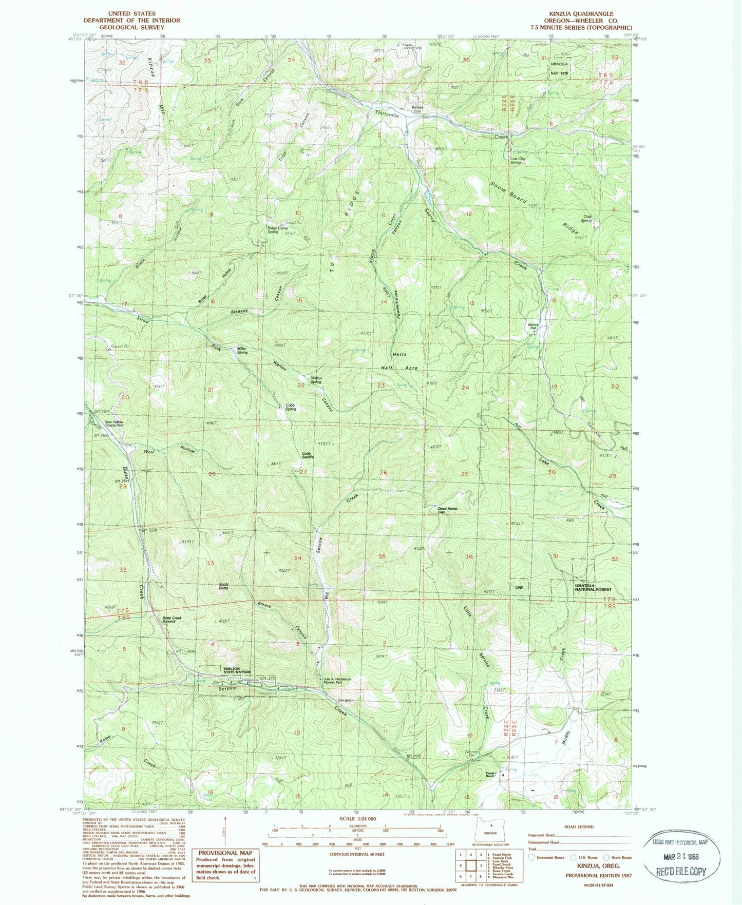
Classic USGS Kinzua Oregon 7.5'x7.5' Topo Map
Couldn't load pickup availability
Historical USGS topographic quad map of Kinzua in the state of Oregon. Typical map scale is 1:24,000, but may vary for certain years, if available. Print size: 24" x 27"
This quadrangle is in the following counties: Wheeler.
The map contains contour lines, roads, rivers, towns, and lakes. Printed on high-quality waterproof paper with UV fade-resistant inks, and shipped rolled.
Contains the following named places: Big Service Creek, Bledsoe Canyon, Broad Hollow, Cobb Saddle, Cobb Springs, Dead Horse Gap, Emery Canyon, Little Service Creek, Lost City Spring, Miller Spring, Muddy Creek, Julia A Henderson Pioneer Park, Powder House Canyon, Prairie Ranch, Ridge Camp Spring, Scott Butte, Searcy Flat, Shelton Wayside County Park, T V Ridge, Tripp Canyon, Wolf Hollow, Butte Creek Summit, Kinzua Mountain, Kinzua (historical), Little Searcy Creek, Searcy Creek, Kinzua Dam (historical), Kinzua Reservoir (historical), Bear Hollow County Park, Hells Half Acre, Walton Canyon, Walton Spring, Kinzua Post Office (historical)


