MyTopo
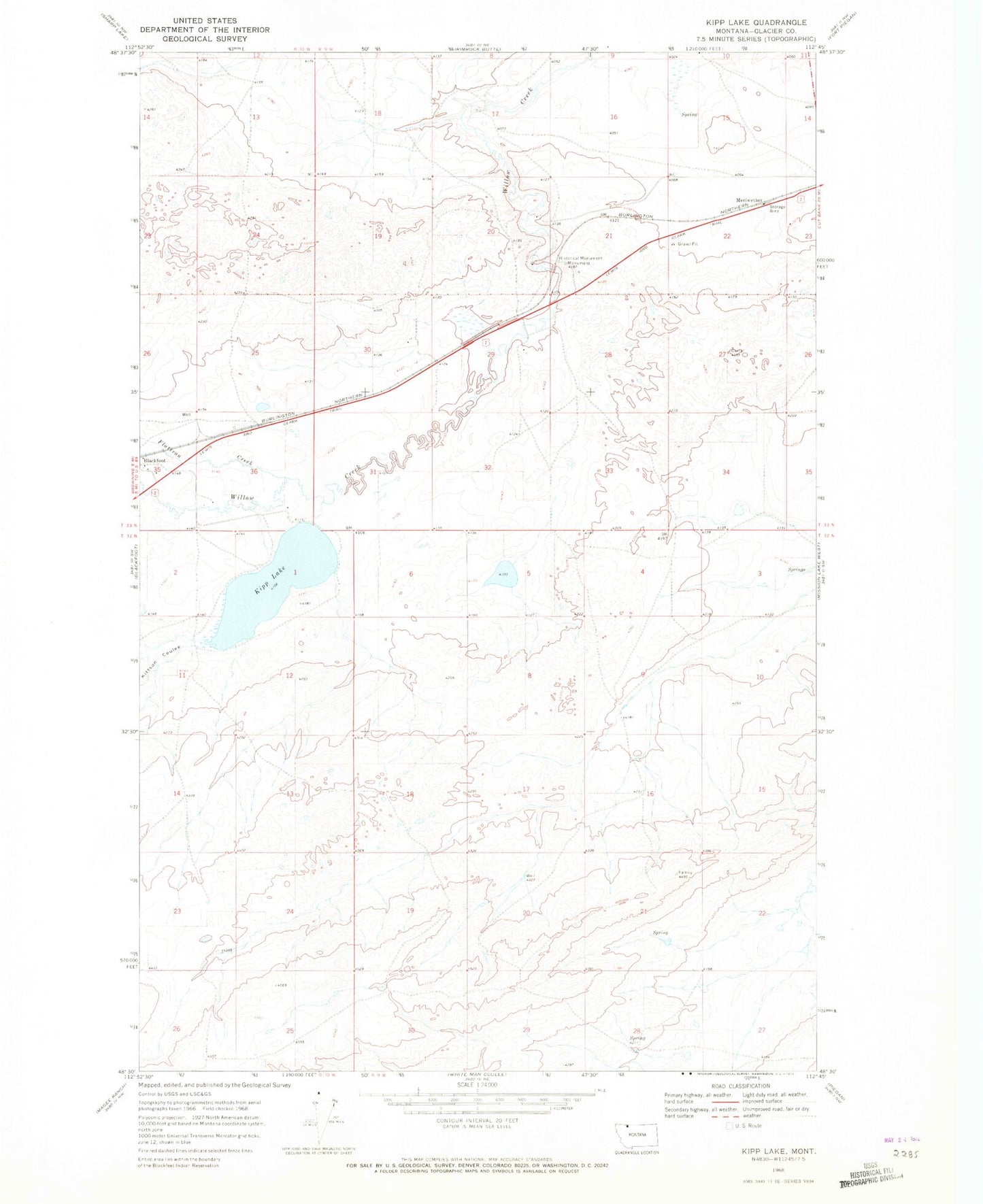
Classic USGS Kipp Lake Montana 7.5'x7.5' Topo Map
Regular price
$16.95
Regular price
Sale price
$16.95
Unit price
per
Couldn't load pickup availability
Historical USGS topographic quad map of Kipp Lake in the state of Montana. Map scale may vary for some years, but is generally around 1:24,000. Print size is approximately 24" x 27"
This quadrangle is in the following counties: Glacier.
The map contains contour lines, roads, rivers, towns, and lakes. Printed on high-quality waterproof paper with UV fade-resistant inks, and shipped rolled.
Contains the following named places: 33N09W22BBBB01 Well, Blackfoot Census Designated Place, Camp Disappointment, Flatiron Creek, Kipp Lake, Kipp Lake Dam, Kittson Coulee, Meriwether