MyTopo
Classic USGS Kirk Alabama 7.5'x7.5' Topo Map
Couldn't load pickup availability
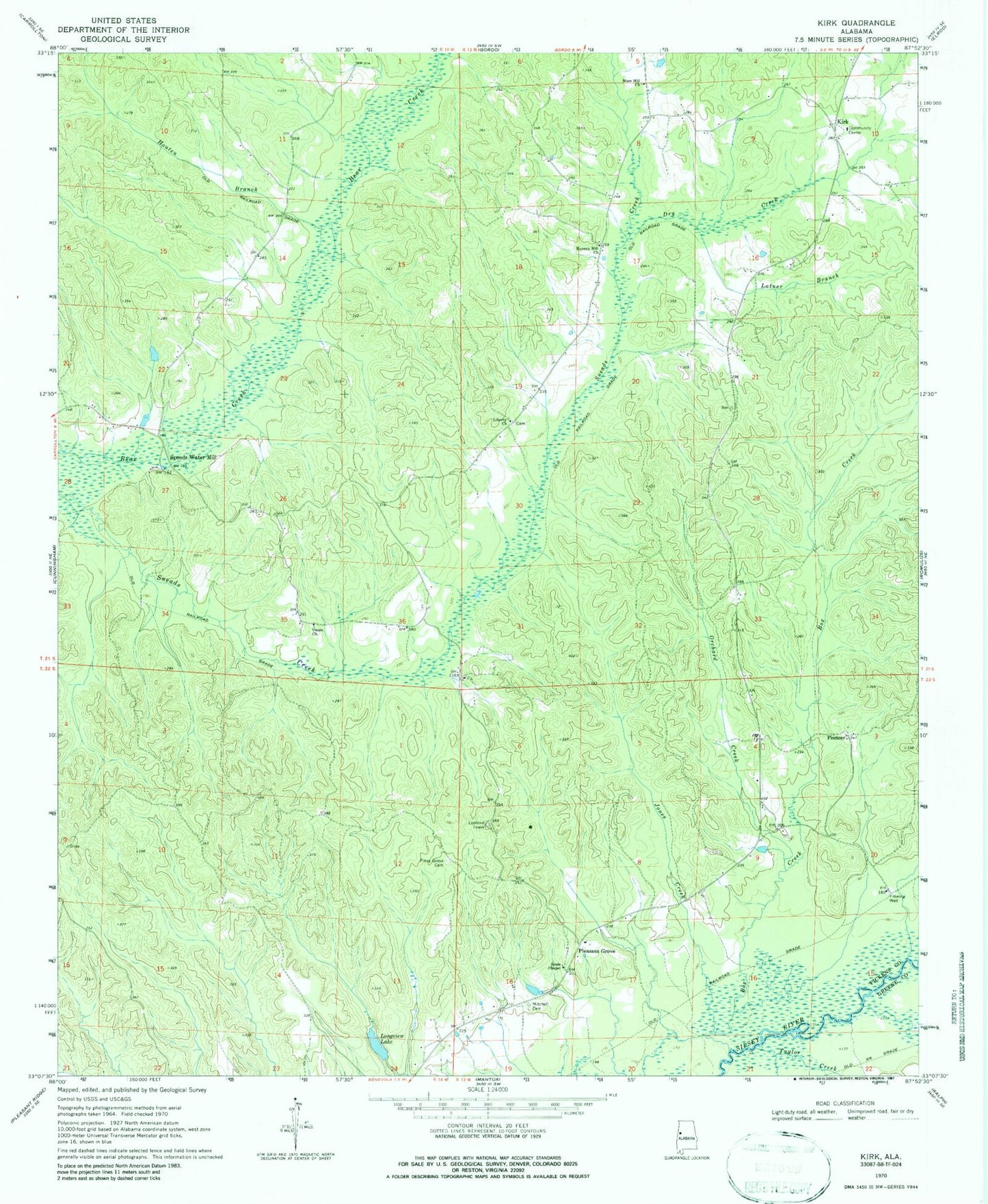
Historical USGS topographic quad map of Kirk in the state of Alabama. Map scale may vary for some years, but is generally around 1:24,000. Print size is approximately 24" x 27"
This quadrangle is in the following counties: Greene, Pickens.
The map contains contour lines, roads, rivers, towns, and lakes. Printed on high-quality waterproof paper with UV fade-resistant inks, and shipped rolled.
Contains the following named places: Brannan School, Davis Creek, Dry Creek, Houten Branch, Jones Creek, Kenney Hill Church, Kenny Hill School, Kings School, Kirk, Kirk School, Kirk Volunteer Fire Department, Latner Branch, Lebanon Church, Liberty Cemetery, Liberty Church, Longview Dam, Longview Lake, Mars Hill Church, Middle Creek, Mitchell Cemetery, Orchard Creek, Pine Grove Church, Pioneer, Pleasant Grove, Pleasant Grove Lookout Tower, Raleigh Division, Souls Chapel, Speeds Water Mill, Taylor Creek, Union Cemetery, Union Church, Union School, ZIP Code: 35466