MyTopo
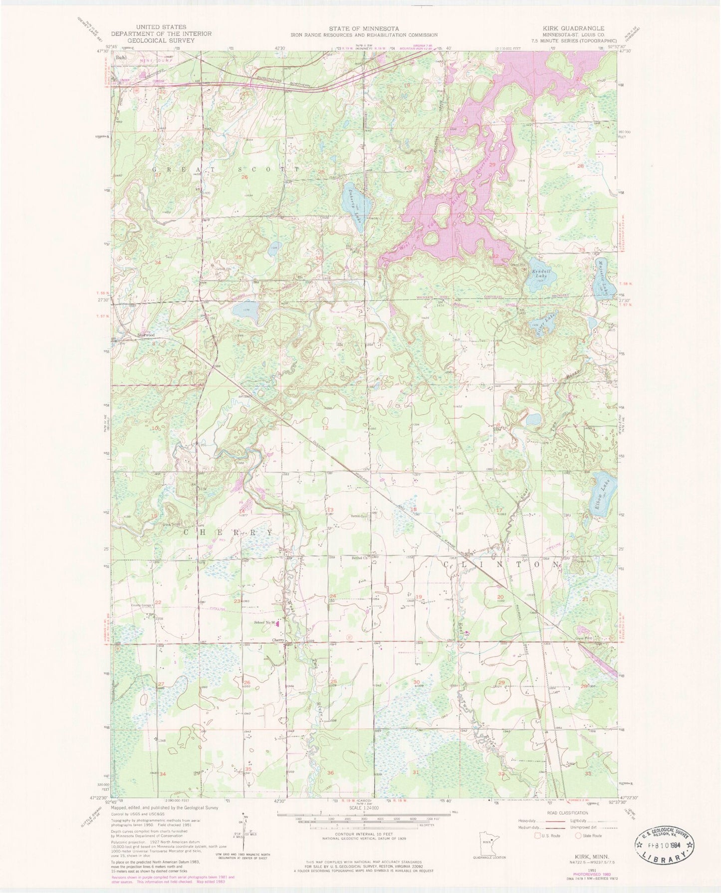
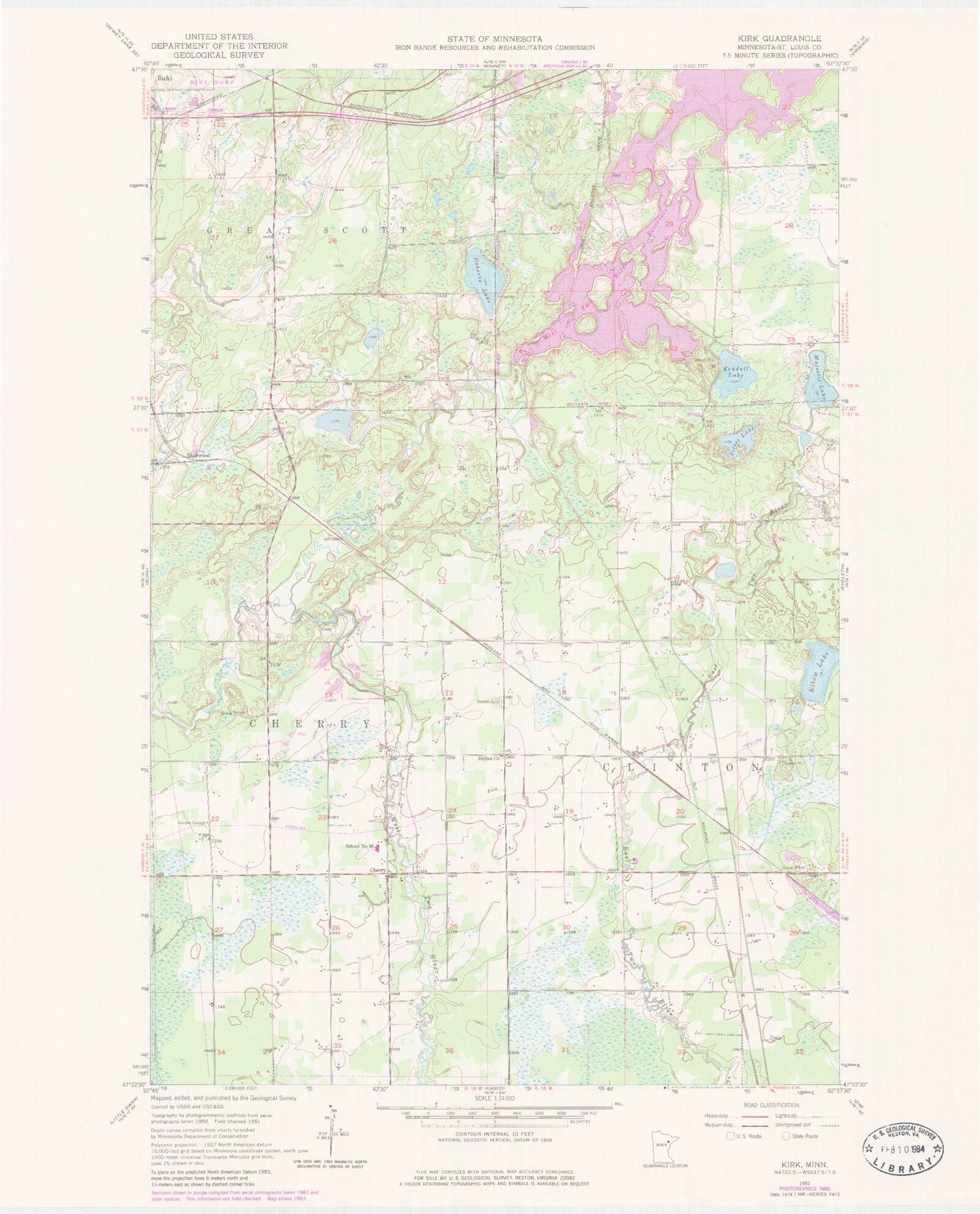
Classic USGS Kirk Minnesota 7.5'x7.5' Topo Map
Couldn't load pickup availability
Historical USGS topographic quad map of Kirk in the state of Minnesota. Map scale may vary for some years, but is generally around 1:24,000. Print size is approximately 24" x 27"
This quadrangle is in the following counties: St. Louis.
The map contains contour lines, roads, rivers, towns, and lakes. Printed on high-quality waterproof paper with UV fade-resistant inks, and shipped rolled.
Contains the following named places: Bethel Church, Cherry, Cherry Post Office, Cherry Township Fire Department, Cherry-Clinton Cemetery, Clinton Volunteer Fire Department, Doherty Lake, Kendall Lake, Kirk, Majestic Lake, School Number 96, Sherwood, Silver Lake, Stahlberg-Mohr Airport, Town of Great Scott Fire Department Station 3, Township of Cherry, West Two River Reservoir, West Two Rivers Campground, West Two Rivers Dam, ZIP Codes: 55751, 55768