MyTopo
Classic USGS Kirksville Kentucky 7.5'x7.5' Topo Map
Couldn't load pickup availability
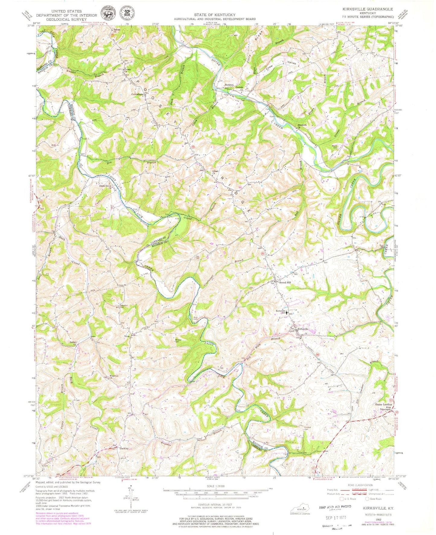
Historical USGS topographic quad map of Kirksville in the state of Kentucky. Map scale may vary for some years, but is generally around 1:24,000. Print size is approximately 24" x 27"
This quadrangle is in the following counties: Garrard, Madison.
The map contains contour lines, roads, rivers, towns, and lakes. Printed on high-quality waterproof paper with UV fade-resistant inks, and shipped rolled.
Contains the following named places: Back Creek, Ball Branch, Barnes Mill, Beech Grove Church, Beech Grove School, Bethel Church, Bogie Branch, Bogies Mill, Bradshaw Mill, Bradshaw School, Bradshawmill Post Office, Broadus Branch, Brown Branch, Caney Branch, Cincinnati Branch, Corinth Church, Cottonburg, Cottonsburg Post Office, Coy Cemetery, Crow Valley, Devours Mill, Devours Mill Branch, Dog Walk Branch, Dry Branch, Duck Branch, Elizabeth Church, Freedom Church, Freedom School, Gilead Baptist Chuch, Gilead Branch, Gilead Cemetery, Greens Branch, Hackley, Hackley Post Office, Hallidays Chapel, Happy Landing, King Tabernacle, Kinnard Cemetery, Kirksville, Kirksville Division, Kirksville Elementary School, Kirksville Post Office, Kirksville Volunteer Fire Department, Long Branch, Moberlys Branch, Moore Cemetery, Nina, Nina Post Office, Nina Ridge, Poosey Cemetery, Ross Cemetery, Round Hill, Round Hill School, Ruthton, Ruthton Post Office, Salem Church, Salem Church Cemetery, Schoolers Branch, Sebastian Cemetery, Spoonville Post Office, Tracy Branch, Walkers School, Wheeler Branch, Wheeler Cemetery, Wheeler Cemetery (Historical)


