MyTopo
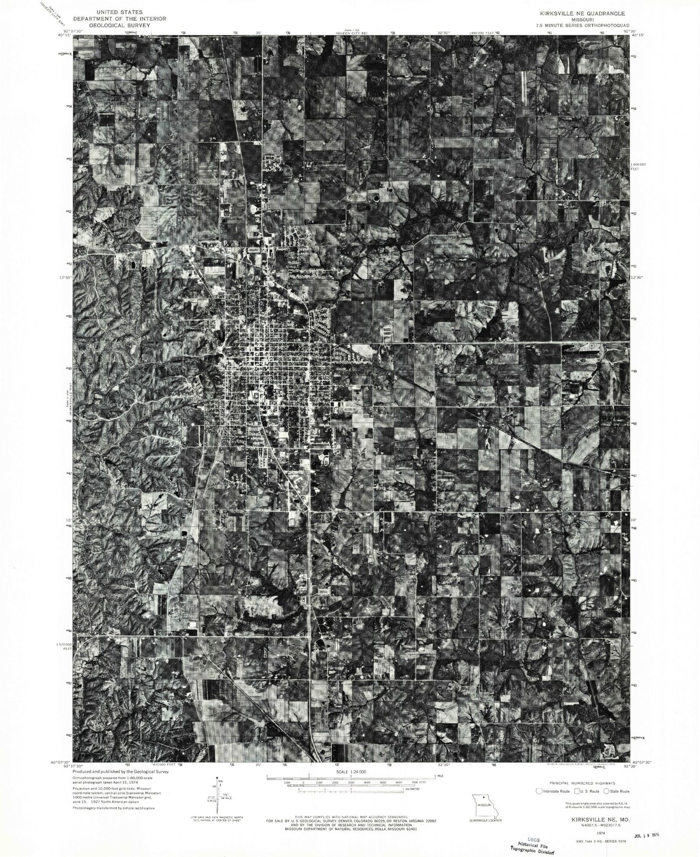
Classic USGS Kirksville Missouri 7.5'x7.5' Topo Map
Couldn't load pickup availability
Historical USGS topographic quad map of Kirksville in the state of Missouri. Map scale may vary for some years, but is generally around 1:24,000. Print size is approximately 24" x 27"
This quadrangle is in the following counties: Adair.
The map contains contour lines, roads, rivers, towns, and lakes. Printed on high-quality waterproof paper with UV fade-resistant inks, and shipped rolled.
Contains the following named places: Adair County, Adair County Nursing Home, Adair County Sheriff's Office, Benton School, Burk Lake Dam, Cater Cemetery, Cater Church, City of Kirksville, Denslow Lake Dam, East Elm Grove School, Eastern Adair County Fire and Rescue Station 1 Headquarters, Forest-Llewellyn Cemetery, Garrett Lake Dam, Greenwood School, Highland Park Cemetery, Holman Fire Station, KCOM-KOHC Heliport, KHQA-TV, Kirksville, Kirksville College of Osteopathic Medicine, Kirksville Country Club, Kirksville Country Club Dam, Kirksville Country Club Lake, Kirksville Fire Department, Kirksville Police Department, Kirksville Post Office, KIRX-AM (Kirksville), KRXL-FM (Kirksville), KTUF-FM (Kirksville), Lake Vera, Lone Star School, Maple Hill Cemetery, Missouri Department of Conservation Northeast Regional Fire Department, New Hope School, Northeast Regional Medical Center, Northtown Shopping Center, Number 52 Dam, Oak Lake, Oak Lake Dam, Ownbey Cemetery, Ownbey Lake, Park View Memorial Gardens, Porter School, Radical Ridge School, Sam Burk Dam, Township of Benton, Troy Mills, Troy Mills School, Truman State University, Waddill Cemetery, Washington School, Willis Branch, ZIP Code: 63501