MyTopo
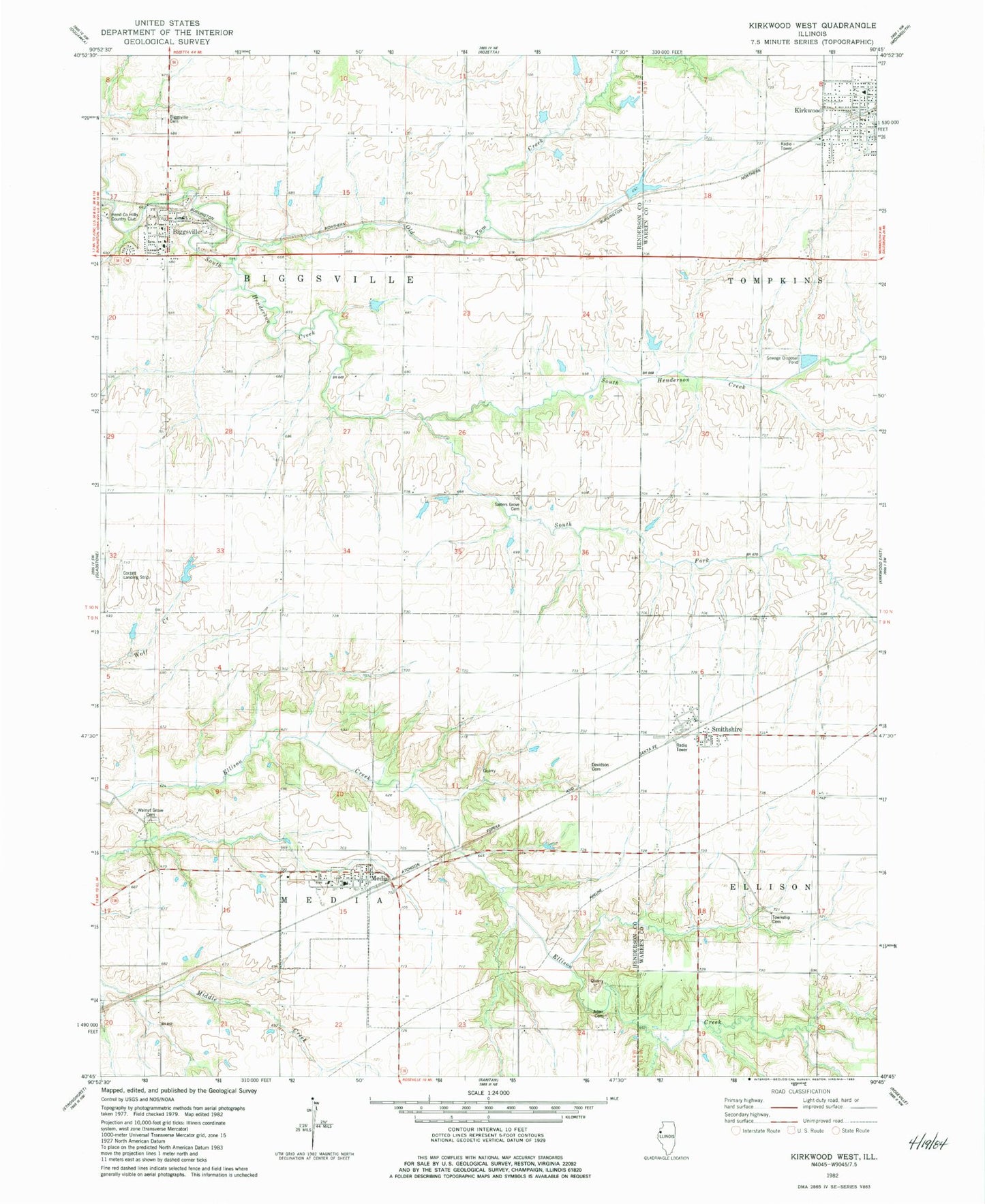
Classic USGS Kirkwood West Illinois 7.5'x7.5' Topo Map
Couldn't load pickup availability
Historical USGS topographic quad map of Kirkwood West in the state of Illinois. Map scale may vary for some years, but is generally around 1:24,000. Print size is approximately 24" x 27"
This quadrangle is in the following counties: Henderson, Warren.
The map contains contour lines, roads, rivers, towns, and lakes. Printed on high-quality waterproof paper with UV fade-resistant inks, and shipped rolled.
Contains the following named places: Adair Cemetery, Beulah Land Farm Airport, Biggsville, Biggsville Ambulance Service, Biggsville Cemetery, Biggsville Fire Protection District, Biggsville Post Office, Biggsville United Methodist Church, Biggsville United Presbyterian Church, Columbia School, Corzatt Airport, Davidson Cemetery, Dutch Row School, Ellison, Ellison School, Grove Hill School, Kirkwood Post Office, Kirkwood United Methodist Church, Maple Grove School, McCartney School, Media, Media - Stronghurst - Terre Haute Fire Protection District Station 2, Media Post Office, Norris Lake, Norris Lake Dam, Old Tom Creek, Rankin School, Salter's Grove Cemetery, Sediment Control Structure Pond Number 22, Sediment Control Structure Pond Number 22 Dam, Smithshire, Smithshire Post Office, South Fork South Henderson Creek, Southern Junior High School, Township Cemetery, Township of Biggsville, Township of Media, Twentieth Century School, Village of Biggsville, Village of Media, Walnut Grove Cemetery, Westminster Church, ZIP Codes: 61418, 61447, 61478