MyTopo
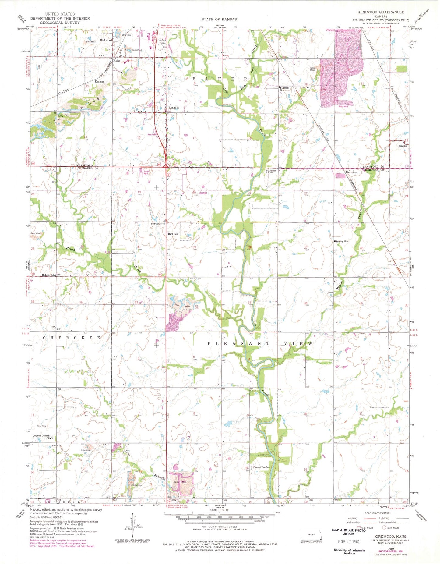
Classic USGS Kirkwood Kansas 7.5'x7.5' Topo Map
Couldn't load pickup availability
Historical USGS topographic quad map of Kirkwood in the state of Kansas. Map scale may vary for some years, but is generally around 1:24,000. Print size is approximately 24" x 27"
This quadrangle is in the following counties: Cherokee, Crawford.
The map contains contour lines, roads, rivers, towns, and lakes. Printed on high-quality waterproof paper with UV fade-resistant inks, and shipped rolled.
Contains the following named places: Atlas, Bird Cemetery, Bird School, Brush Creek, Council Corner, Council Corner Church, Council Corner School, Council Corners Cemetery, Crawford County Fire District 1, Crocker Cemetery, East Cow Creek, Faith Lutheran Church, Helmic School, Islamic Society of Southeast Kansas, Kirkwood, Kniveton, Kramer, Langdon, Langdon Lane Cemetery, Langdons School, Lone Oak Cemetery, Neutral School, New Pleasant View Cemetery, Old Pleasant View Cemetery, Owsley School, Pleasant View, Pleasant View Church, Pleasant View School, Stillwell School, Taylor Branch, Township of Pleasant View, Union School, ZIP Code: 66781