MyTopo
Classic USGS Kirwin Reservoir Kansas 7.5'x7.5' Topo Map
Couldn't load pickup availability
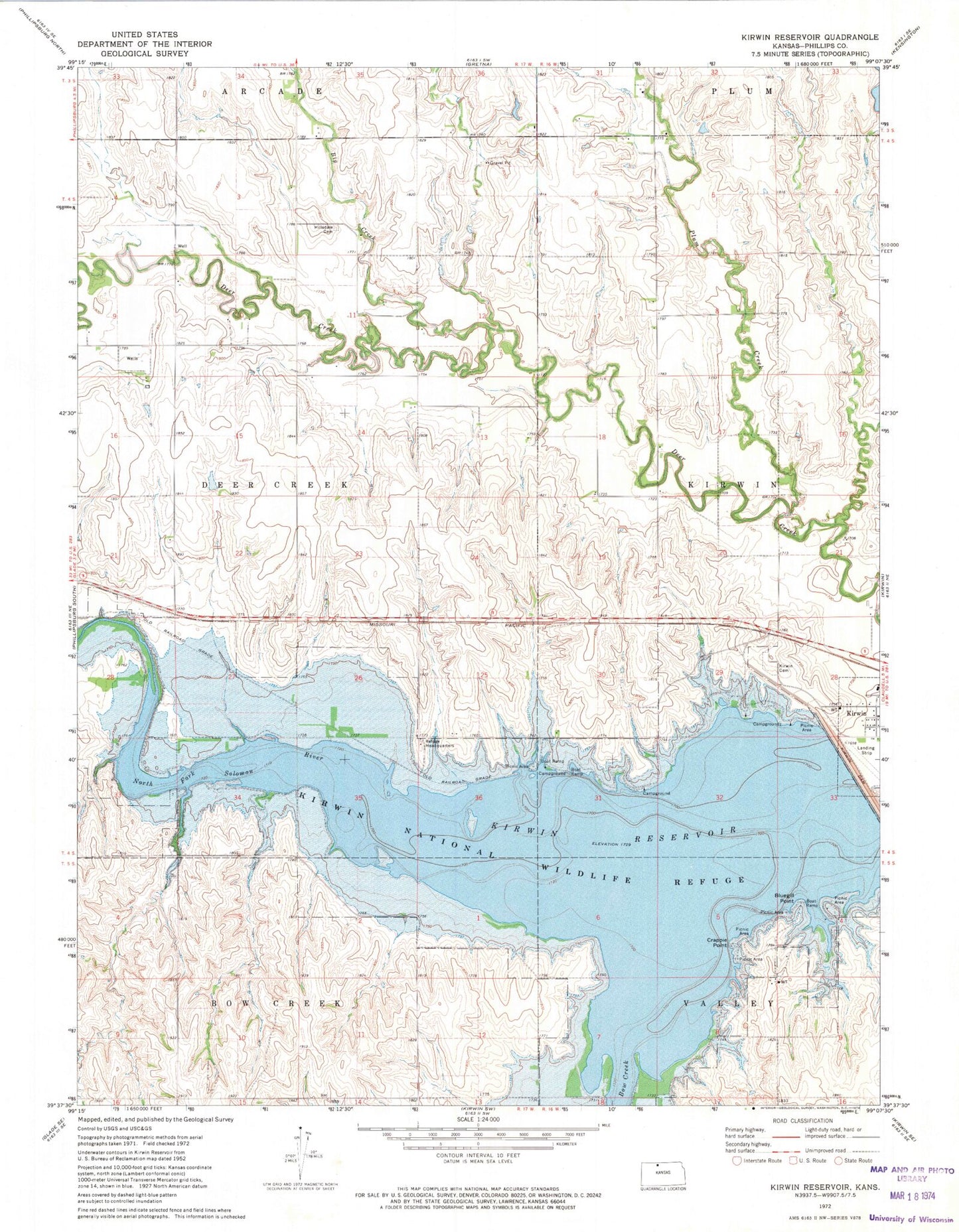
Historical USGS topographic quad map of Kirwin Reservoir in the state of Kansas. Map scale may vary for some years, but is generally around 1:24,000. Print size is approximately 24" x 27"
This quadrangle is in the following counties: Phillips.
The map contains contour lines, roads, rivers, towns, and lakes. Printed on high-quality waterproof paper with UV fade-resistant inks, and shipped rolled.
Contains the following named places: Big Creek, Bluegill Point, Bow Creek, Crappie Point, Eastern Heights Elementary School, Hillsdale Cemetery, Kirwin Cemetery, Kirwin Encampment, Kirwin National Wildlife Refuge, Kirwin Reservoir, Kirwin Wildlife Area, Plum Creek, Township of Deer Creek, Turner Creek, Wyrill Farming Airport, ZIP Code: 67644