MyTopo
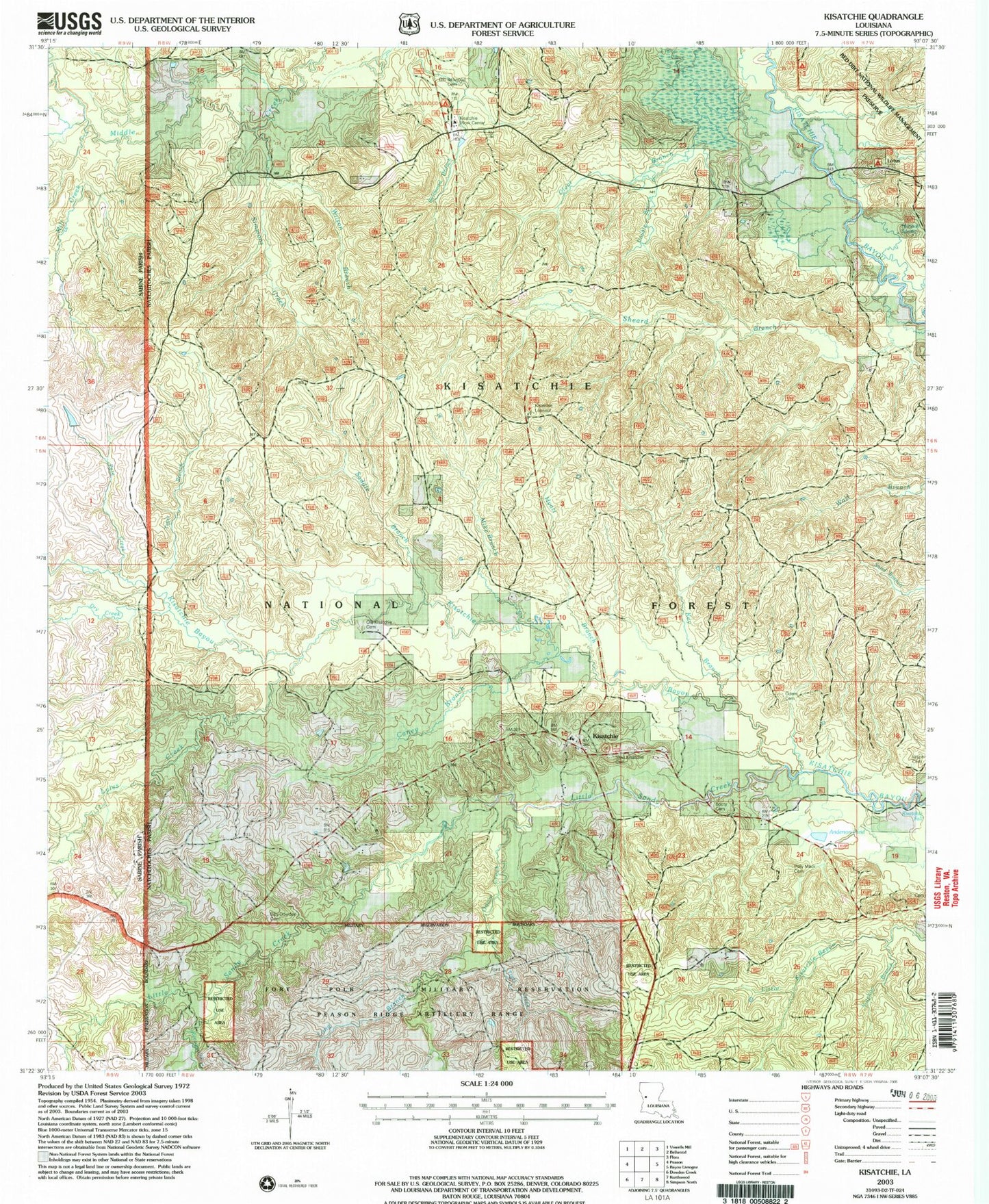
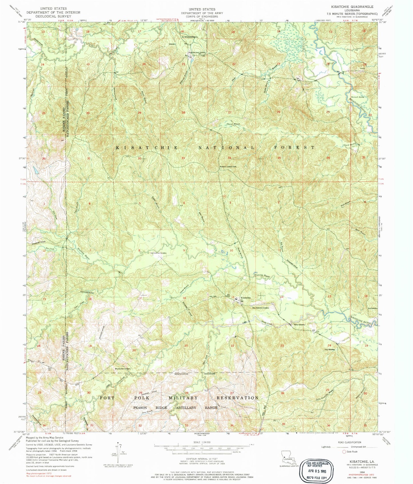
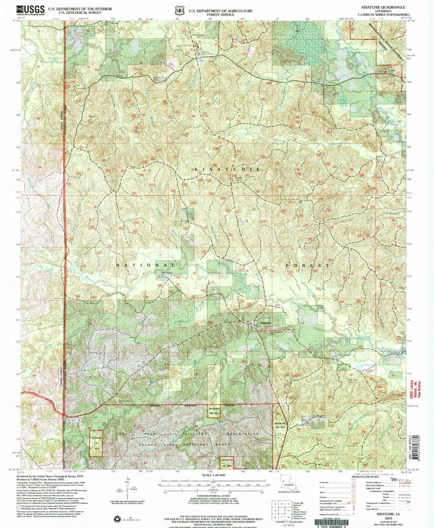
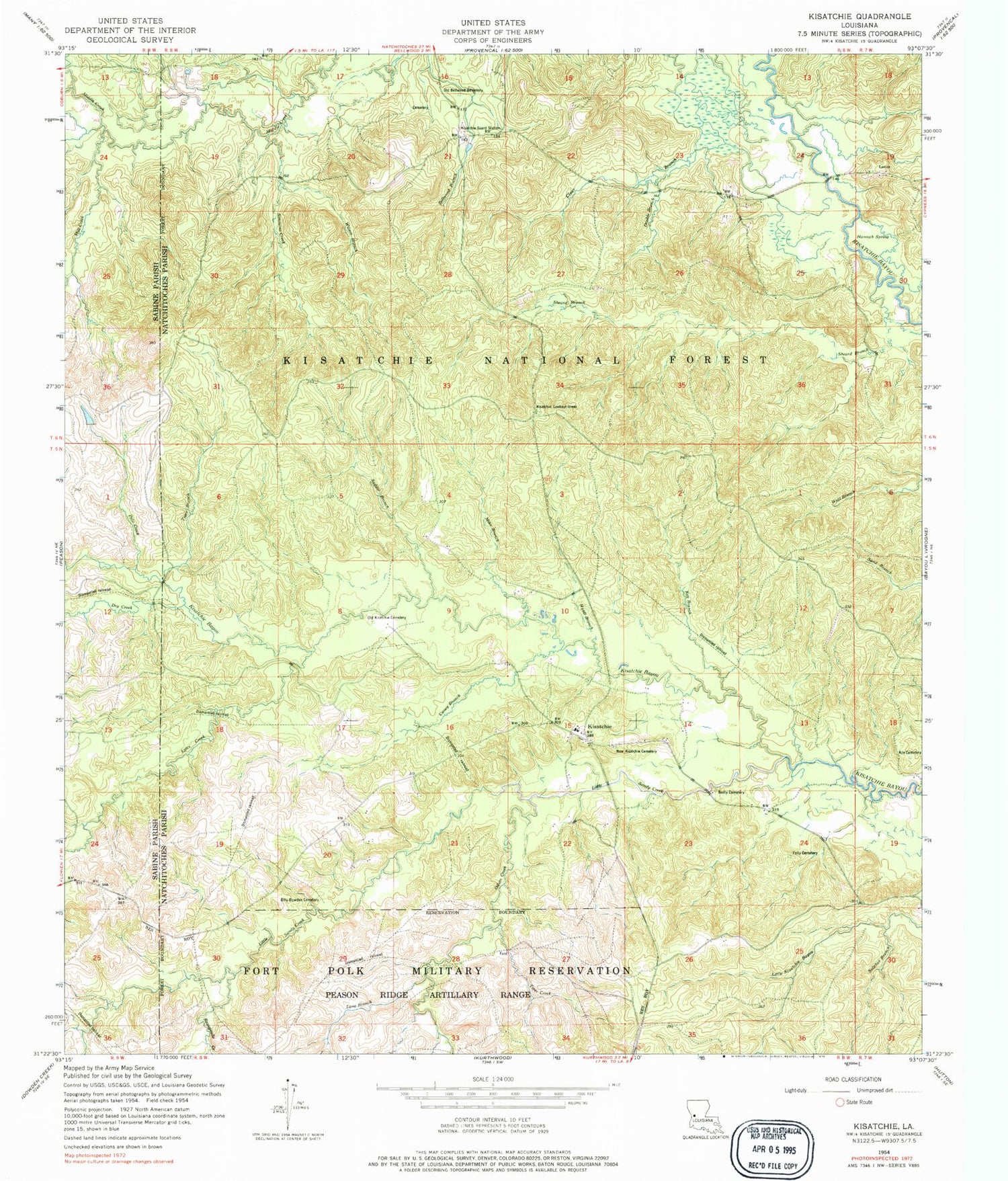
Classic USGS Kisatchie Louisiana 7.5'x7.5' Topo Map
Couldn't load pickup availability
Historical USGS topographic quad map of Kisatchie in the state of Louisiana. Typical map scale is 1:24,000, but may vary for certain years, if available. Print size: 24" x 27"
This quadrangle is in the following counties: Natchitoches, Sabine.
The map contains contour lines, roads, rivers, towns, and lakes. Printed on high-quality waterproof paper with UV fade-resistant inks, and shipped rolled.
Contains the following named places: Long Branch, Billy Dowden Cemetery, Booty Cemetery, Caney Branch, Double Branch, Folly Cemetery, Hannah Spring, Hyatt Branch, Key Branch, Kile Cemetery, Lotus, Lyles Creek, Mike Branch, Mill Creek, New Kisatchie Cemetery, Odom Creek, Old Bellwood Cemetery, Old Kisatchie Cemetery, Reaugaulle Creek, School House Creek, Sheard Branch, Sulphur Branch, Tiger Branch, Tiger Creek, Wilson Branch, Red Bluff Campground, Dogwood Campground, Truer Cemetery, Kisatchie Fall, Lotus Campground, Jackson Overlook, Odum Falls, Kile, Dry Creek, Kisatchie, Kisatchie Guard Station, Little Sandy Creek, Pate Creek, Saddle Branch, Simmons Creek, Kisatchie Lookout Tower, Kisatchie Post Office


