MyTopo
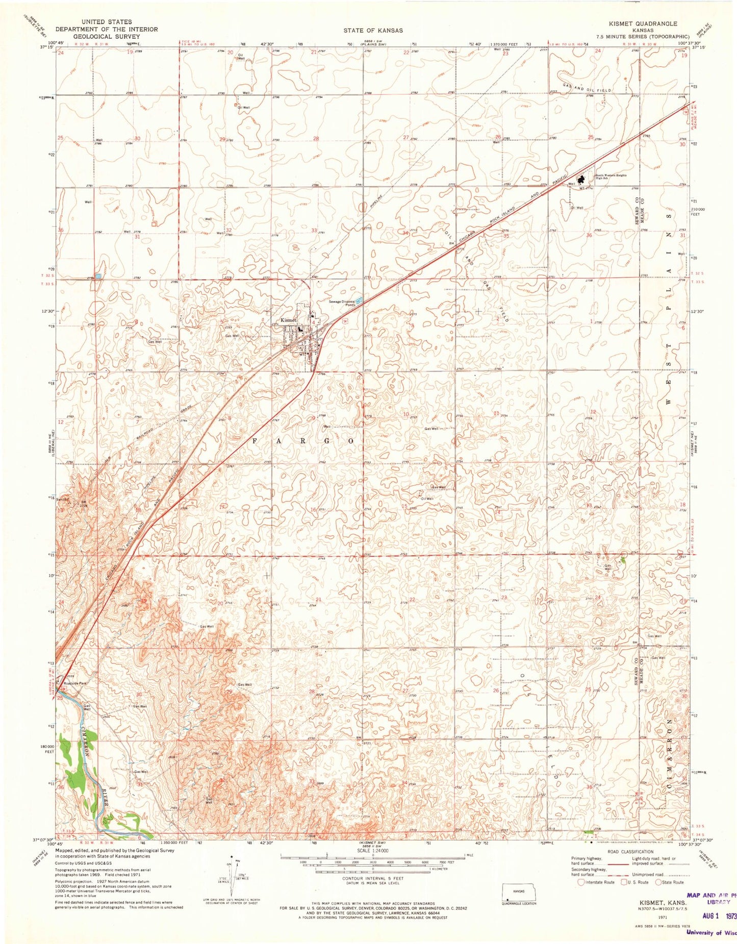
Classic USGS Kismet Kansas 7.5'x7.5' Topo Map
Couldn't load pickup availability
Historical USGS topographic quad map of Kismet in the state of Kansas. Map scale may vary for some years, but is generally around 1:24,000. Print size is approximately 24" x 27"
This quadrangle is in the following counties: Meade, Seward.
The map contains contour lines, roads, rivers, towns, and lakes. Printed on high-quality waterproof paper with UV fade-resistant inks, and shipped rolled.
Contains the following named places: City of Kismet, Dirk's Mobile Home Park, Kismet, Kismet City Hall, Kismet City Library, Kismet Elementary School, Kismet Post Office, Kismet Senior Center, Kismet United Methodist Church, Kismet Wastewater Treatment Facility, Seward County Fire Department Kismet North Station, Seward County Fire Department Kismet Station 1, Southwestern Heights Junior / Senior High School, Township of Fargo