MyTopo
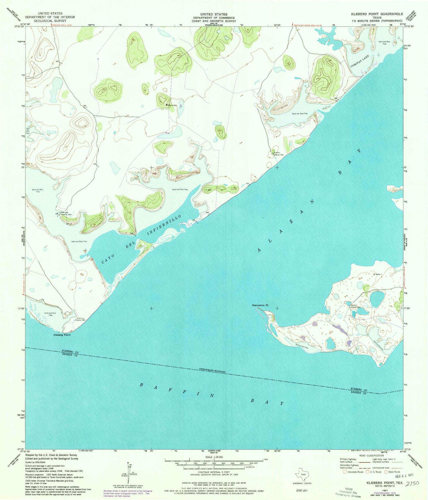
Classic USGS Kleberg Point Texas 7.5'x7.5' Topo Map
Regular price
$16.95
Regular price
Sale price
$16.95
Unit price
per
Couldn't load pickup availability
Historical USGS topographic quad map of Kleberg Point in the state of Texas. Map scale may vary for some years, but is generally around 1:24,000. Print size is approximately 24" x 27"
This quadrangle is in the following counties: Kenedy, Kleberg.
The map contains contour lines, roads, rivers, towns, and lakes. Printed on high-quality waterproof paper with UV fade-resistant inks, and shipped rolled.
Contains the following named places: Aceitera Artesian Well, Alazan Bay, Baffin Bay, Camiseta Artesian Well, Cayo del Infiernillo, Comitas Lake, East Kleberg Point, Infiernillo Artesian Well, Kleberg Point, Starvation Point, Tiburcio Artesian Well, Viboras Well