MyTopo
Classic USGS Klodt Reservoir Wyoming 7.5'x7.5' Topo Map
Regular price
$16.95
Regular price
Sale price
$16.95
Unit price
per
Couldn't load pickup availability
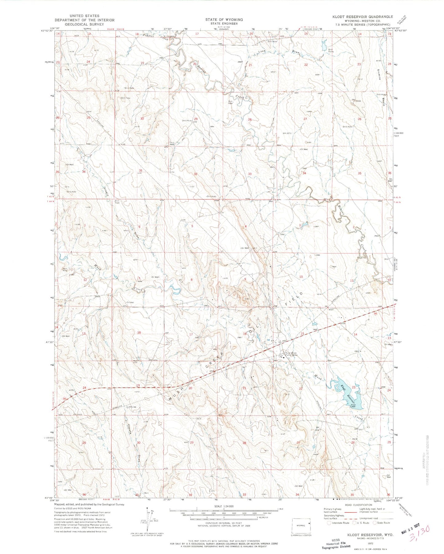
Historical USGS topographic quad map of Klodt Reservoir in the state of Wyoming. Map scale may vary for some years, but is generally around 1:24,000. Print size is approximately 24" x 27"
This quadrangle is in the following counties: Weston.
The map contains contour lines, roads, rivers, towns, and lakes. Printed on high-quality waterproof paper with UV fade-resistant inks, and shipped rolled.
Contains the following named places: Coyote Draw, Fiddler Creek, Klodt Dam, Klodt Reservoir, Lissolo 9-364-3 Reservoir, Luce Draw, Mush Creek Oil Field, Mush Creek Pumping Station, Newcastle Division, Sedgewick Ranch, Six Mile Dam, Slagle Draw, Townsend Ranch, Whitney Ranch