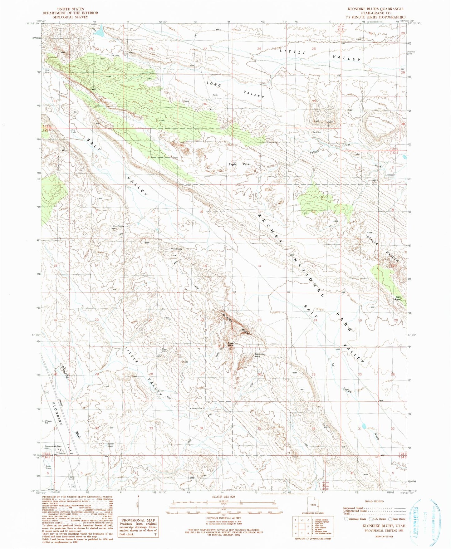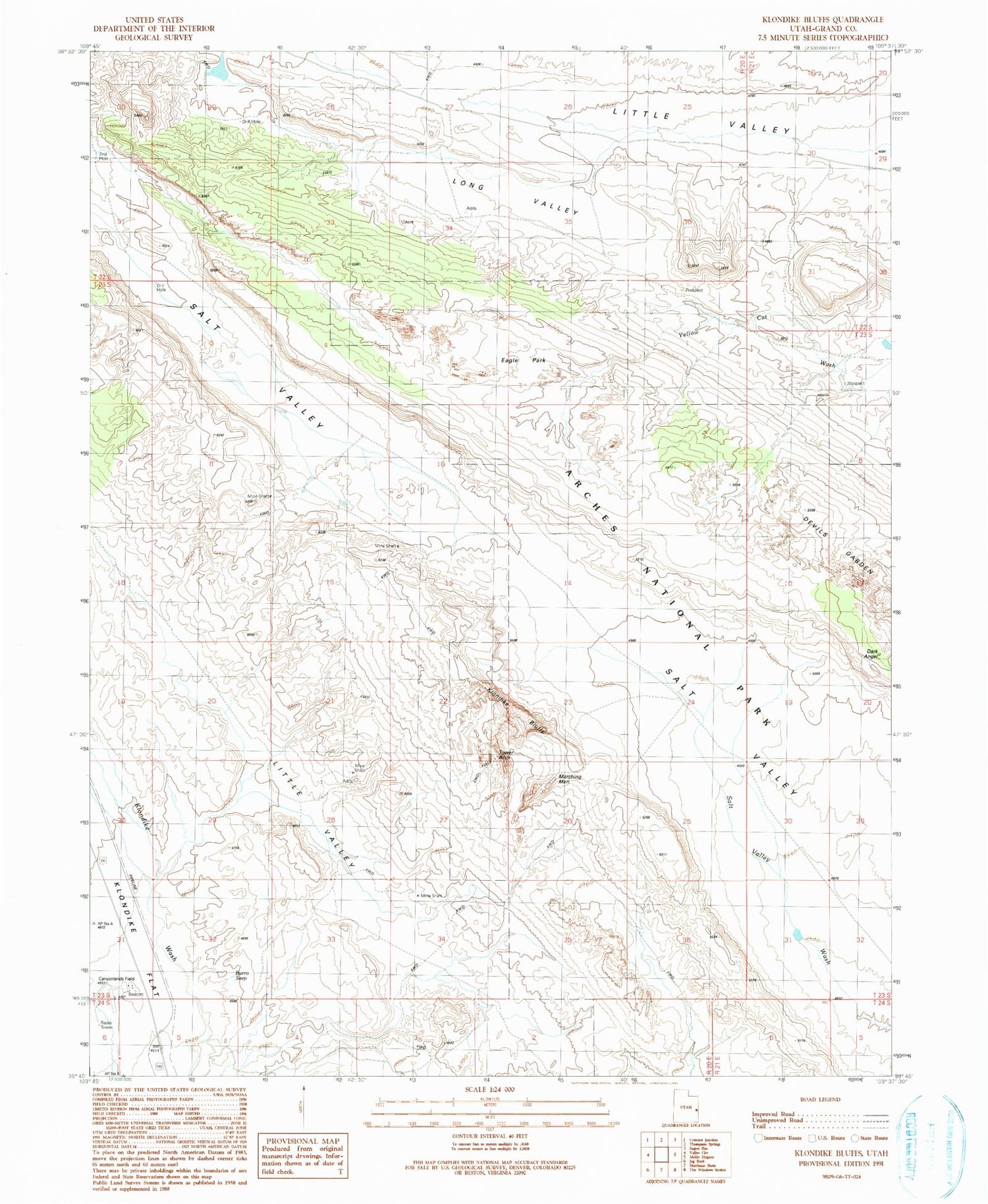
MyTopo
Classic USGS Klondike Bluffs Utah 7.5'x7.5' Topo Map
Regular price
$16.95
Regular price
Sale price
$16.95
Unit price
per
Couldn't load pickup availability
Historical USGS topographic quad map of Klondike Bluffs in the state of Utah. Map scale may vary for some years, but is generally around 1:24,000. Print size is approximately 24" x 27"
This quadrangle is in the following counties: Grand.
The map contains contour lines, roads, rivers, towns, and lakes. Printed on high-quality waterproof paper with UV fade-resistant inks, and shipped rolled.
Contains the following named places: Aladdins Lamp Arch, Anniversary Arch, Burro Seep, Dark Angel, Eagle Park, Indian Head Arch, Klondike Bluffs, Klondike Flat, Long Valley, Marching Men, Parallel Arch, Tower Arch, Utahraptor Ridge