MyTopo
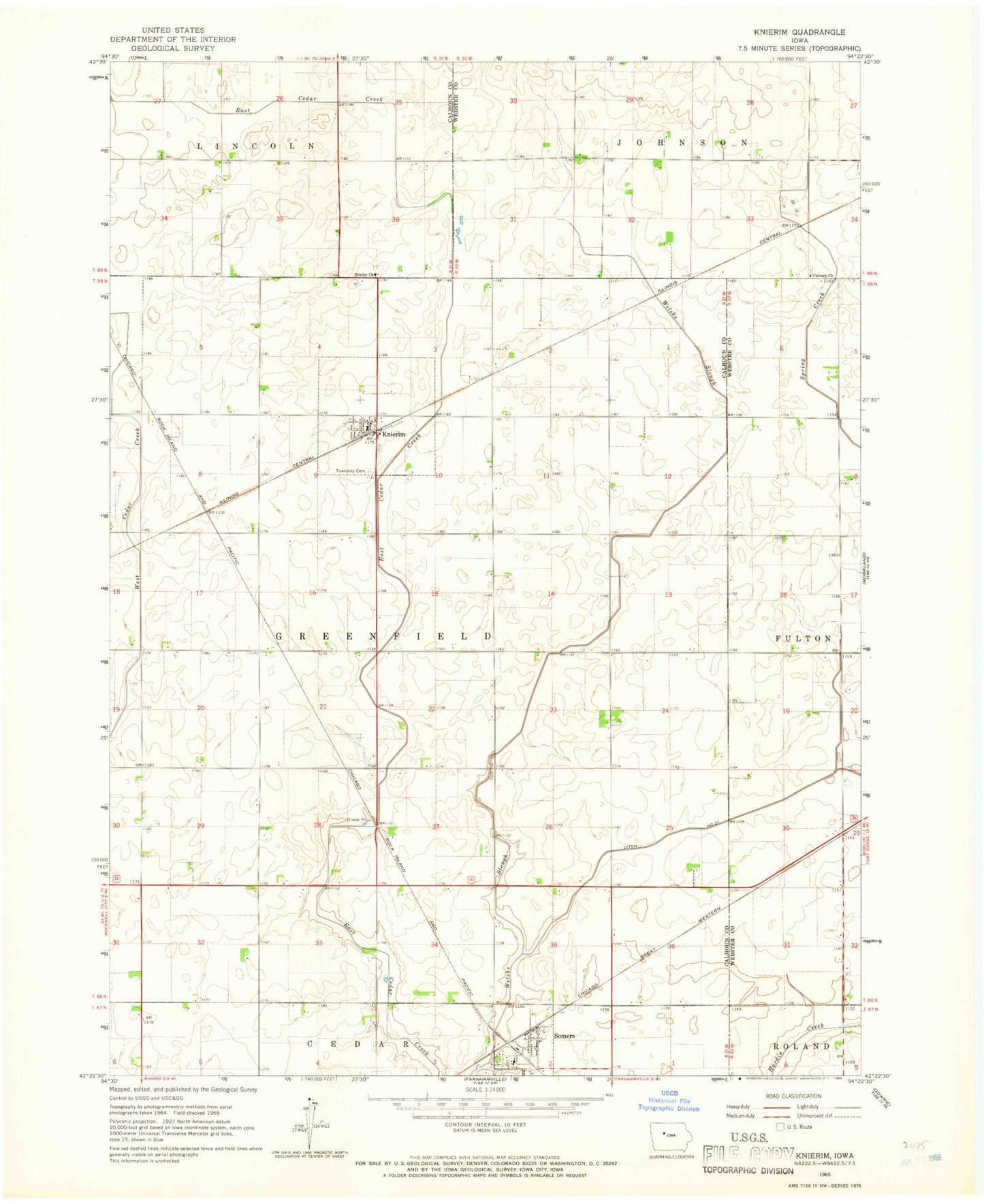
Classic USGS Knierim Iowa 7.5'x7.5' Topo Map
Couldn't load pickup availability
Historical USGS topographic quad map of Knierim in the state of Iowa. Map scale may vary for some years, but is generally around 1:24,000. Print size is approximately 24" x 27"
This quadrangle is in the following counties: Calhoun, Webster.
The map contains contour lines, roads, rivers, towns, and lakes. Printed on high-quality waterproof paper with UV fade-resistant inks, and shipped rolled.
Contains the following named places: Calvary Church, Calvary Presbyterian Cemetery, City of Knierim, City of Somers, Ditch Number 31, Farmers Co-op Company Elevator, Greenfield Cemetery, Knierim, Knierim Fire Department, Knierim Post Office, Prairie Valley Elementary West School, Schilling Sanctuary, Somers, Somers City Hall, Somers City Library, Somers Post Office, Township of Greenfield, Trinity Cemetery, Trinity Church, Trinity Lutheran Church, United Methodist Church, Wadleigh, Welsh Bridge, ZIP Code: 50586