MyTopo
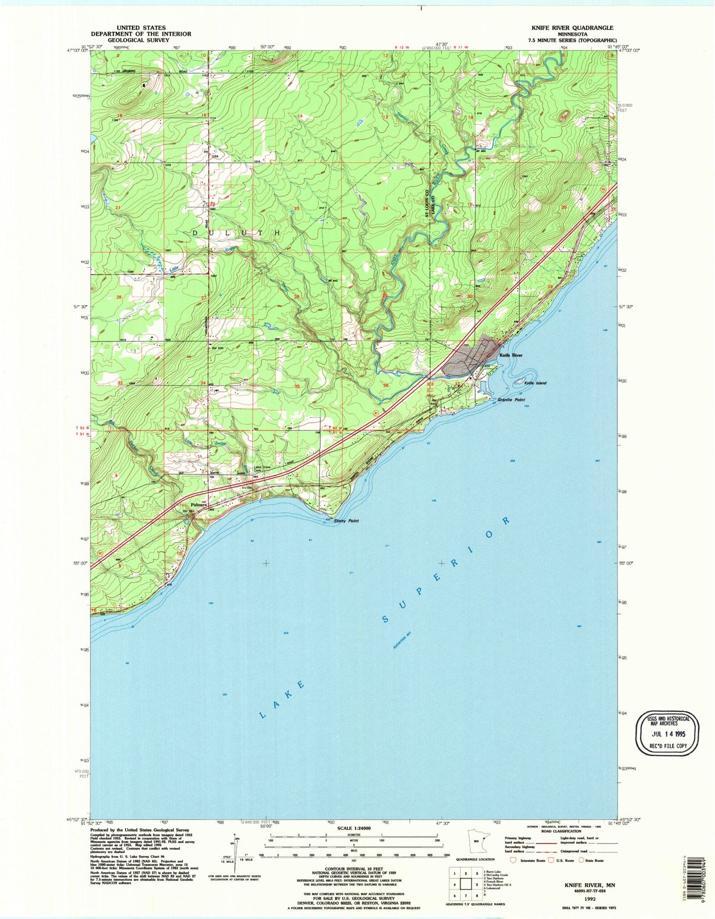
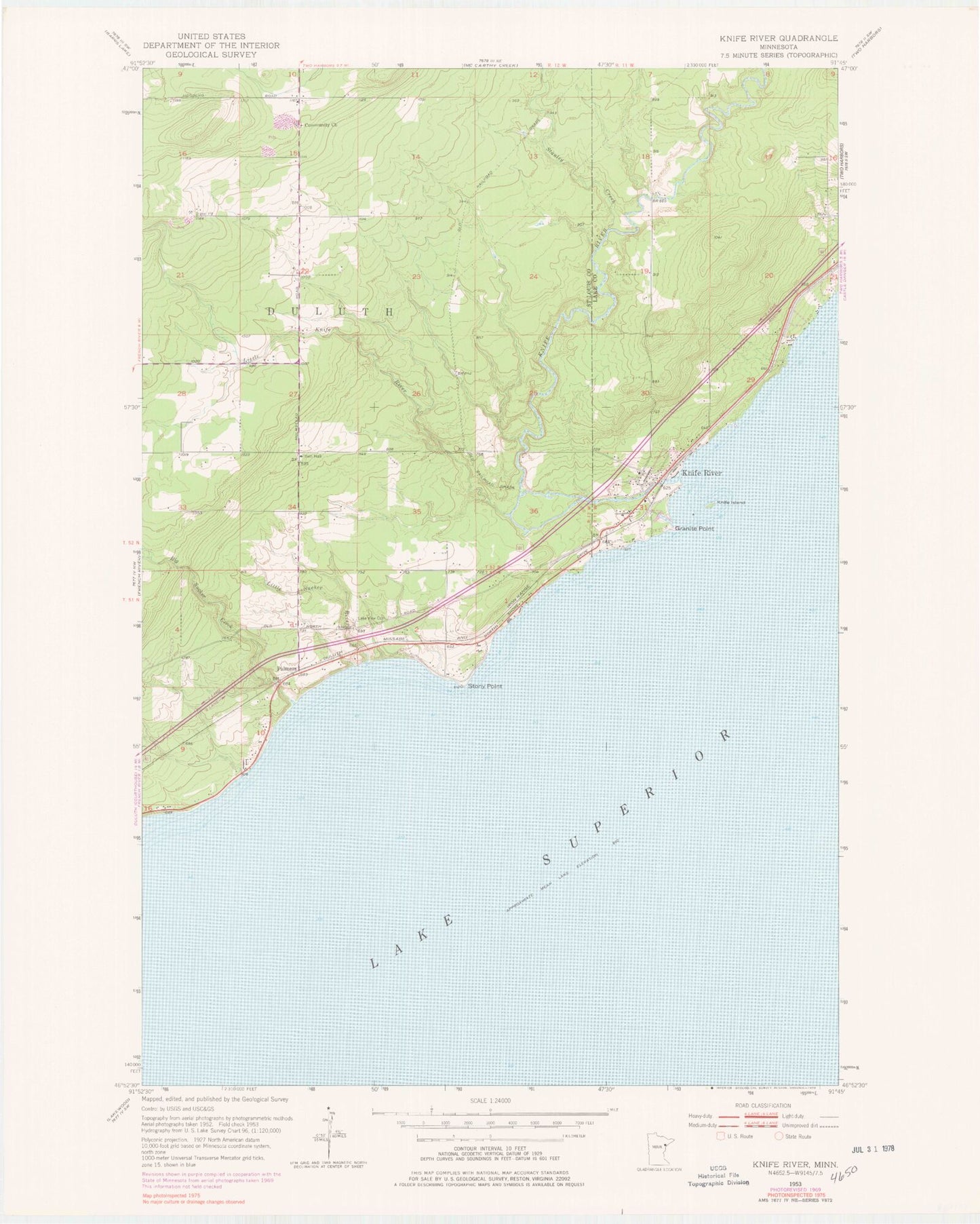
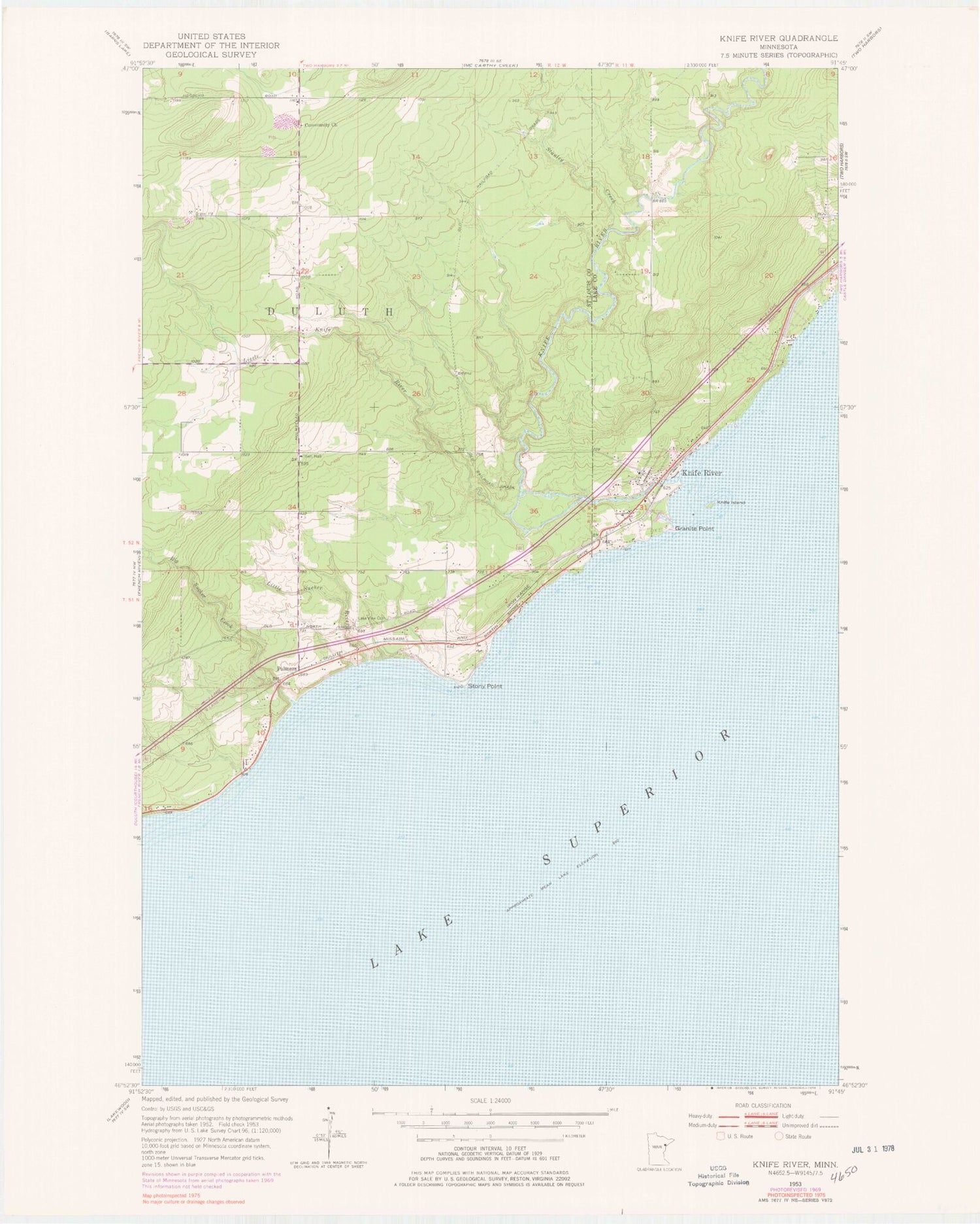
Classic USGS Knife River Minnesota 7.5'x7.5' Topo Map
Couldn't load pickup availability
Historical USGS topographic quad map of Knife River in the state of Minnesota. Map scale may vary for some years, but is generally around 1:24,000. Print size is approximately 24" x 27"
This quadrangle is in the following counties: Lake, St. Louis.
The map contains contour lines, roads, rivers, towns, and lakes. Printed on high-quality waterproof paper with UV fade-resistant inks, and shipped rolled.
Contains the following named places: Arthur V Rohweder Memorial Highway Historical Museum, Big Blaze Campground and Cabins, Big Sucker Creek, Buchanan Historical Marker, Clifton Volunteer Fire Department Station 2, Community Church, Duluth Township Police Department, Granite Point, Knife Island, Knife River, Knife River Census Designated Place, Knife River Lutheran Church, Knife River Post Office, Knife River Rest Area, Lake View Cemetery, Little Knife River, Little Sucker River, Palmers, Palmers Post Office, Palmers Station, Stanley Creek, Stony Point, Township of Duluth, WRSR-FM (Two Harbors), ZIP Code: 55609