MyTopo
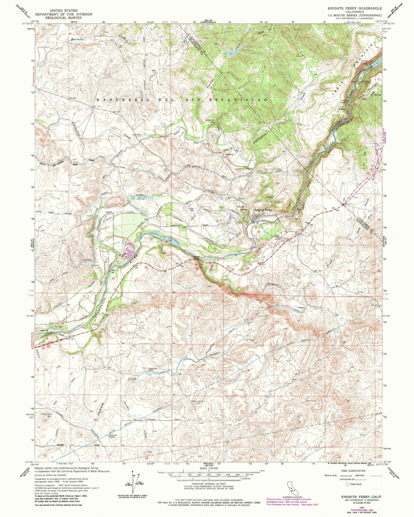
Classic USGS Knights Ferry California 7.5'x7.5' Topo Map
Couldn't load pickup availability
Historical USGS topographic quad map of Knights Ferry in the state of California. Typical map scale is 1:24,000, but may vary for certain years, if available. Print size: 24" x 27"
This quadrangle is in the following counties: Calaveras, Stanislaus, Tuolumne.
The map contains contour lines, roads, rivers, towns, and lakes. Printed on high-quality waterproof paper with UV fade-resistant inks, and shipped rolled.
Contains the following named places: Cape Horn Lateral, Cape Horn Tunnel, Cashman Dam, Goodwin Dam, Littlejohns Dam, Lovers Leap, Morrison Siphon Lateral, North San Joaquin Main Canal, Owl Creek, Peachys Creek, Smith Creek, North Fork Wildcat Creek, South Fork Wildcat Creek, Wildcat Creek, Wills Lateral, Knights Ferry, Orange Blossom School (historical), Arnold (historical), Knights Ferry Elementary School, Knights Ferry Recreation Area, Oakdale Rural Fire Protection District Station 3, Stanislaus County Sheriff's Office Knights Ferry, Oak Grove Cemetery, Orange Blossom Census Designated Place, Orange Blossom, Orange Blossom Census Designated Place, Orange Blossom, Knights Ferry Census Designated Place