MyTopo
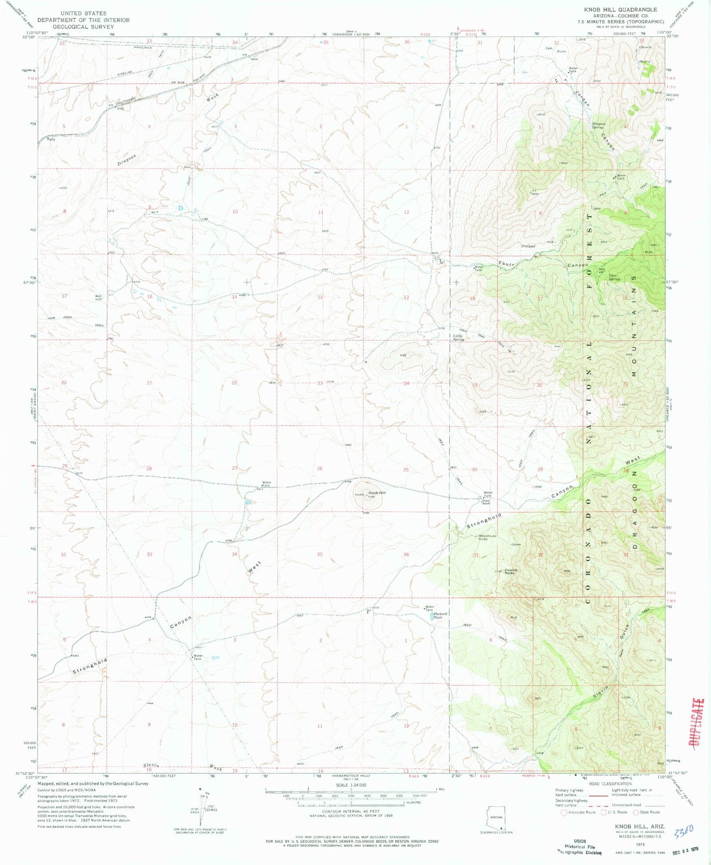
Classic USGS Knob Hill Arizona 7.5'x7.5' Topo Map
Regular price
$16.95
Regular price
Sale price
$16.95
Unit price
per
Couldn't load pickup availability
Historical USGS topographic quad map of Knob Hill in the state of Arizona. Map scale may vary for some years, but is generally around 1:24,000. Print size is approximately 24" x 27"
This quadrangle is in the following counties: Cochise.
The map contains contour lines, roads, rivers, towns, and lakes. Printed on high-quality waterproof paper with UV fade-resistant inks, and shipped rolled.
Contains the following named places: Cave Spring, Council Rocks, Dragoon Spring, Dragoon Springs Cemetery, Fourr Canyon, Horse Ranch, Knob Hill, Little Spring, Packard Tank, Slavin Gulch, Stronghold Airport, Tully, Tully Railroad Station