MyTopo
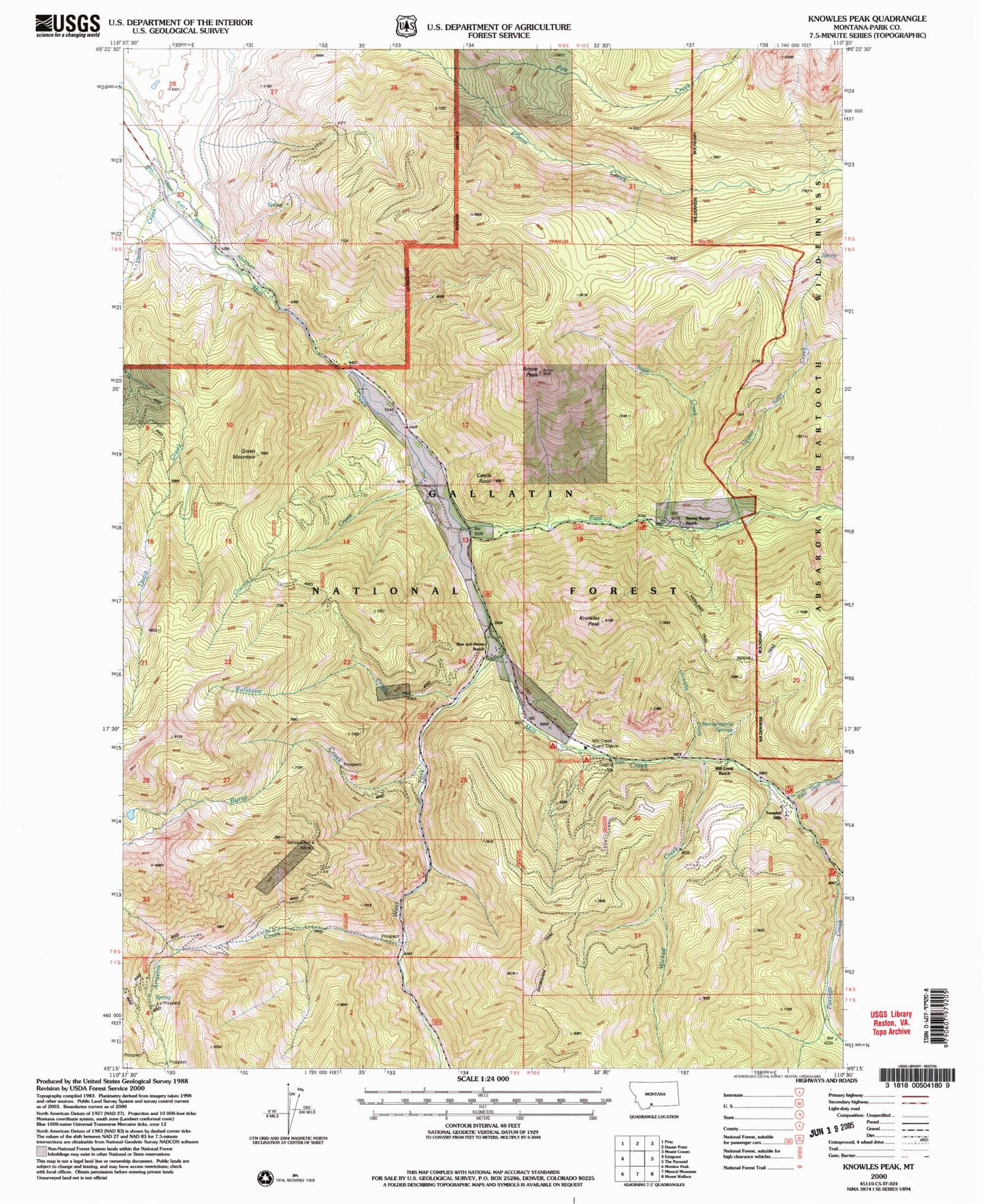
Classic USGS Knowles Peak Montana 7.5'x7.5' Topo Map
Couldn't load pickup availability
Historical USGS topographic quad map of Knowles Peak in the state of Montana. Typical map scale is 1:24,000, but may vary for certain years, if available. Print size: 24" x 27"
This quadrangle is in the following counties: Park.
The map contains contour lines, roads, rivers, towns, and lakes. Printed on high-quality waterproof paper with UV fade-resistant inks, and shipped rolled.
Contains the following named places: Barbara Ann Mine, Arrastra Creek, Arrow Peak, Bow and Arrow Ranch, Bulldozer Creek, Burnt Creek, Castle Rock, Counts Creek, Davis Creek, East Dam Creek, East Fork Mill Creek, Green Mountain, Highland Trail, Jomaha Creek, Knowles Peak, Mill Creek Camp and Picnic Grounds, Mill Creek Guard Station, Mill Creek Ranch, Montanapolis School (historical), Montanapolis Springs, Passage Creek, Sage Creek, Snowy Range Ranch, Upper Sage Creek, West Fork Mill Creek, Wicked Creek, Fire Creek, Snowbank Campground, Barbara Ann Mine, Queen Esther Mine, Merlyn Mine, Alice C Mine, NE Section 4 - FS Mine, SE Section 23 Mine, Templed Hills, Yellowstone Bible Encampment, Montanapolis Springs (historical)


