MyTopo
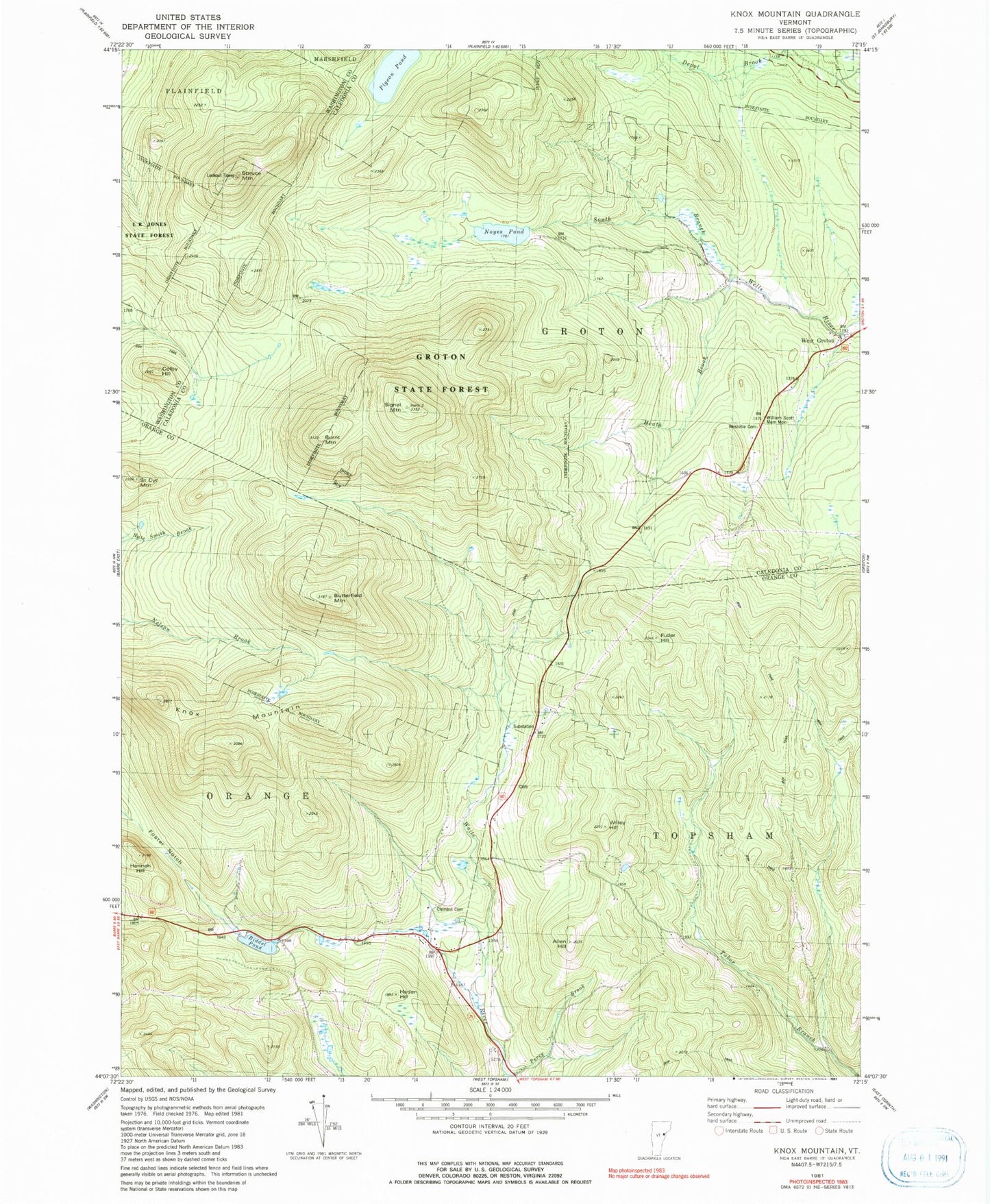
Classic USGS Knox Mountain Vermont 7.5'x7.5' Topo Map
Couldn't load pickup availability
Historical USGS topographic quad map of Knox Mountain in the state of Vermont. Typical map scale is 1:24,000, but may vary for certain years, if available. Print size: 24" x 27"
This quadrangle is in the following counties: Caledonia, Orange, Washington.
The map contains contour lines, roads, rivers, towns, and lakes. Printed on high-quality waterproof paper with UV fade-resistant inks, and shipped rolled.
Contains the following named places: Allen Hill, Burnt Mountain, Butterfield Mountain, Clement Cemetery, Colby Hill, Foster Notch, Fuller Hill, Haden Hill, Hannah Hill, Health Brook, L R Jones State Forest, Knox Mountain, Noyes Pond, Perry Brook, Pigeon Pond, Riddel Pond, Saint Cyr Mountain, Signal Mountain, Spruce Mountain, Westville Cemetery, Willey Hill, William Scott Memorial Monument, Town of Groton, Town of Orange, Noyes Pond Dam, Seyon Ranch, Groton Road Cemetery, Groton State Forest, Peake Cemetery