MyTopo
Classic USGS Knox West Indiana 7.5'x7.5' Topo Map
Couldn't load pickup availability
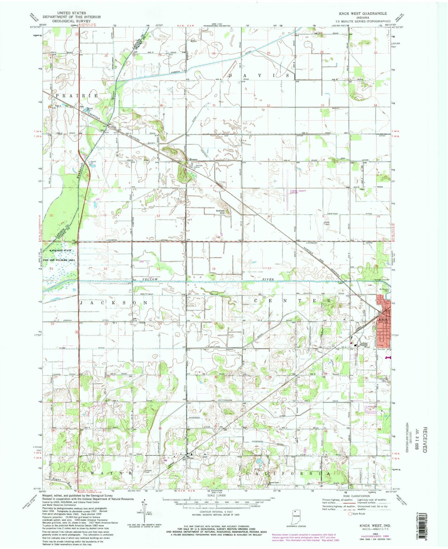
Historical USGS topographic quad map of Knox West in the state of Indiana. Map scale may vary for some years, but is generally around 1:24,000. Print size is approximately 24" x 27"
This quadrangle is in the following counties: LaPorte, Starke.
The map contains contour lines, roads, rivers, towns, and lakes. Printed on high-quality waterproof paper with UV fade-resistant inks, and shipped rolled.
Contains the following named places: Anderson Ditch, Bailey Ditch, Brems, Cavanaugh Ditch, Cottonwood Ditch, Cox Ditch, Hepner Cemetery, Indian Hill, Jackson-Shilling Ditch, Knox, Knox Post Office, Kreuter Ditch, Laramore Ditch, Lindstrand Ditch, Newcomer Farm, Newtson Ditch, Oak Park Cemetery, Prettyman Ditch, Round Lake Church, Starke County, Starke County Airport, Starke County Emergency Medical Services - North Judson, Toto, Township of Center, Township of Jackson, Williams Ditch, Wilson Airport