MyTopo
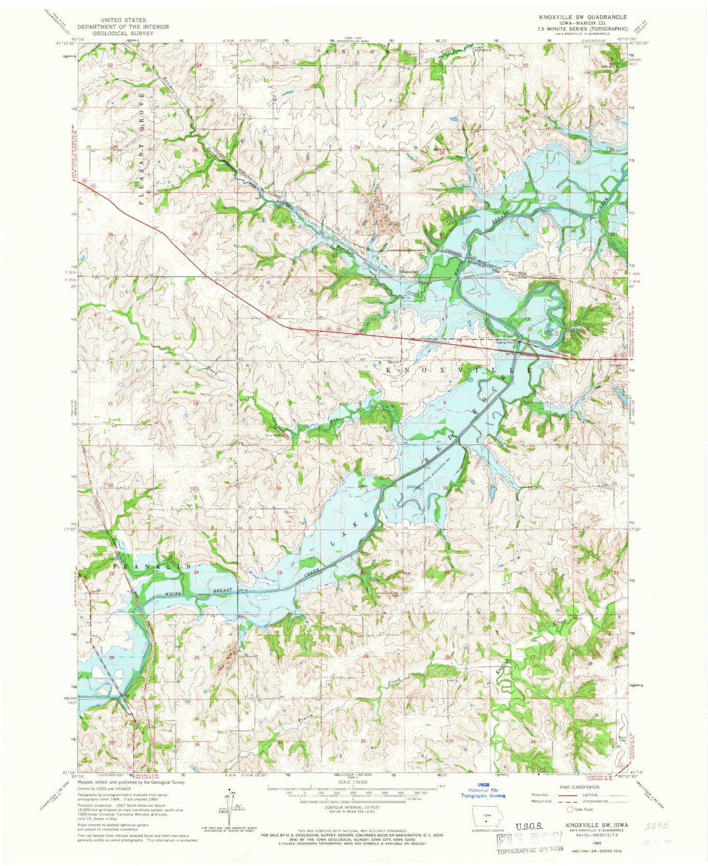
Classic USGS Knoxville SW Iowa 7.5'x7.5' Topo Map
Couldn't load pickup availability
Historical USGS topographic quad map of Knoxville SW in the state of Iowa. Map scale may vary for some years, but is generally around 1:24,000. Print size is approximately 24" x 27"
This quadrangle is in the following counties: Marion.
The map contains contour lines, roads, rivers, towns, and lakes. Printed on high-quality waterproof paper with UV fade-resistant inks, and shipped rolled.
Contains the following named places: Butcher Creek, County Care Facility, Donley Post Office, Donley Station, Donnelley, Eden Church, Finarty Cemetery, Hawk Run, Lincoln Cemetery, Marion County Park, Marysville Bridge, Nephus Cemetery, Pleasant Ridge Cemetery, Poor Farm Cemetery, Saint Anthony Cemetery, Shire Cemetery, Stickle Cemetery, Tracey Creek, Watkins Cemetery, Weston Post Office