MyTopo
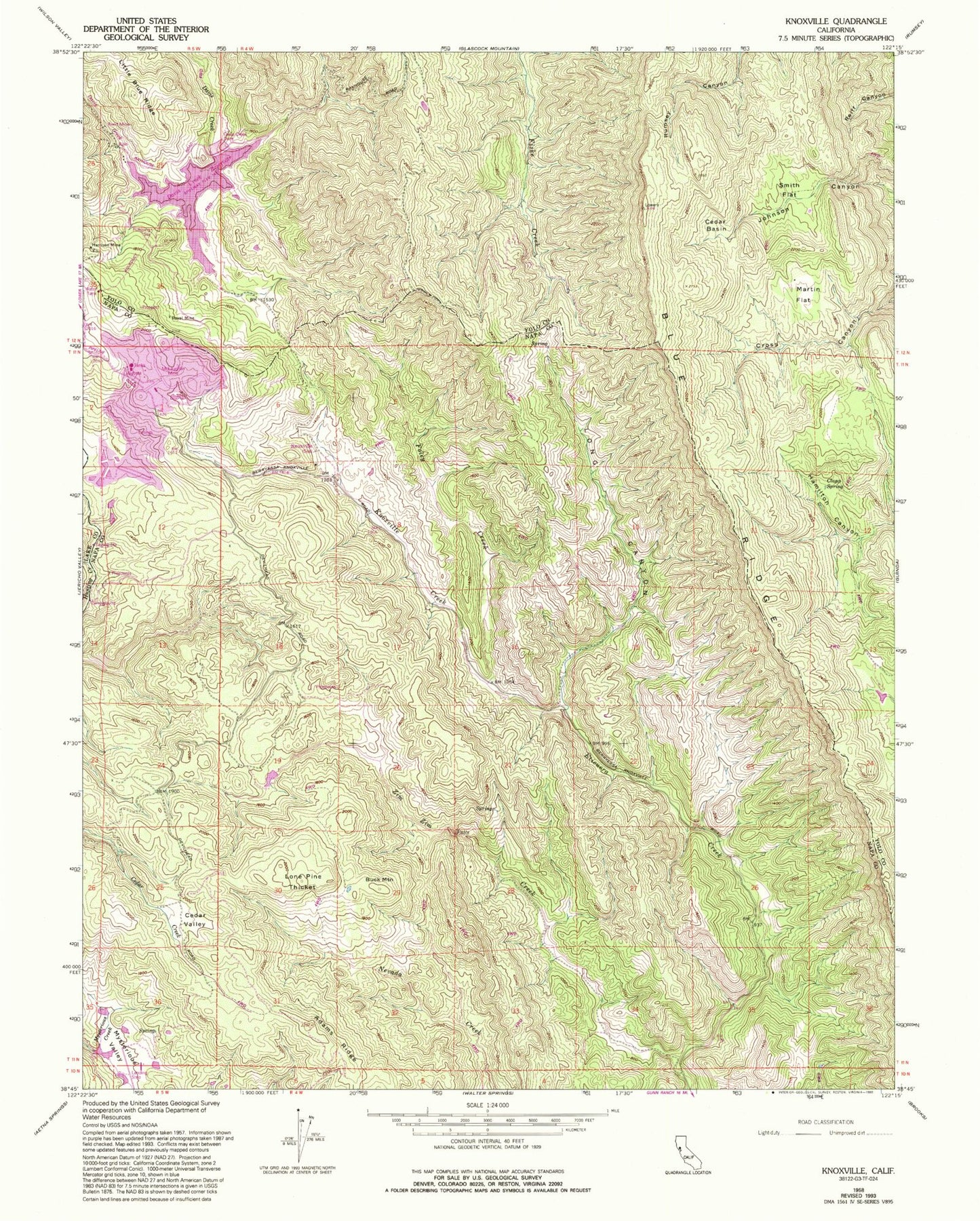
Classic USGS Knoxville California 7.5'x7.5' Topo Map
Couldn't load pickup availability
Historical USGS topographic quad map of Knoxville in the state of California. Map scale may vary for some years, but is generally around 1:24,000. Print size is approximately 24" x 27"
This quadrangle is in the following counties: Lake, Napa, Yolo.
The map contains contour lines, roads, rivers, towns, and lakes. Printed on high-quality waterproof paper with UV fade-resistant inks, and shipped rolled.
Contains the following named places: Adams Ridge, Blue Ridge, Buck Mountain, Cedar Basin, Cedar Valley, Clapp Spring, Foley Creek, Harrison Mine, Knoxville, Knoxville Creek, Lone Pine Thicket, Long Canyon, Martin Flat, McLaughlin Mine, Mysterious Valley, Mysterious Valley Airport, Reed Mine, Royal Mine, Smith Flat, Zim Zim Creek, Zim Zim Ranch