MyTopo
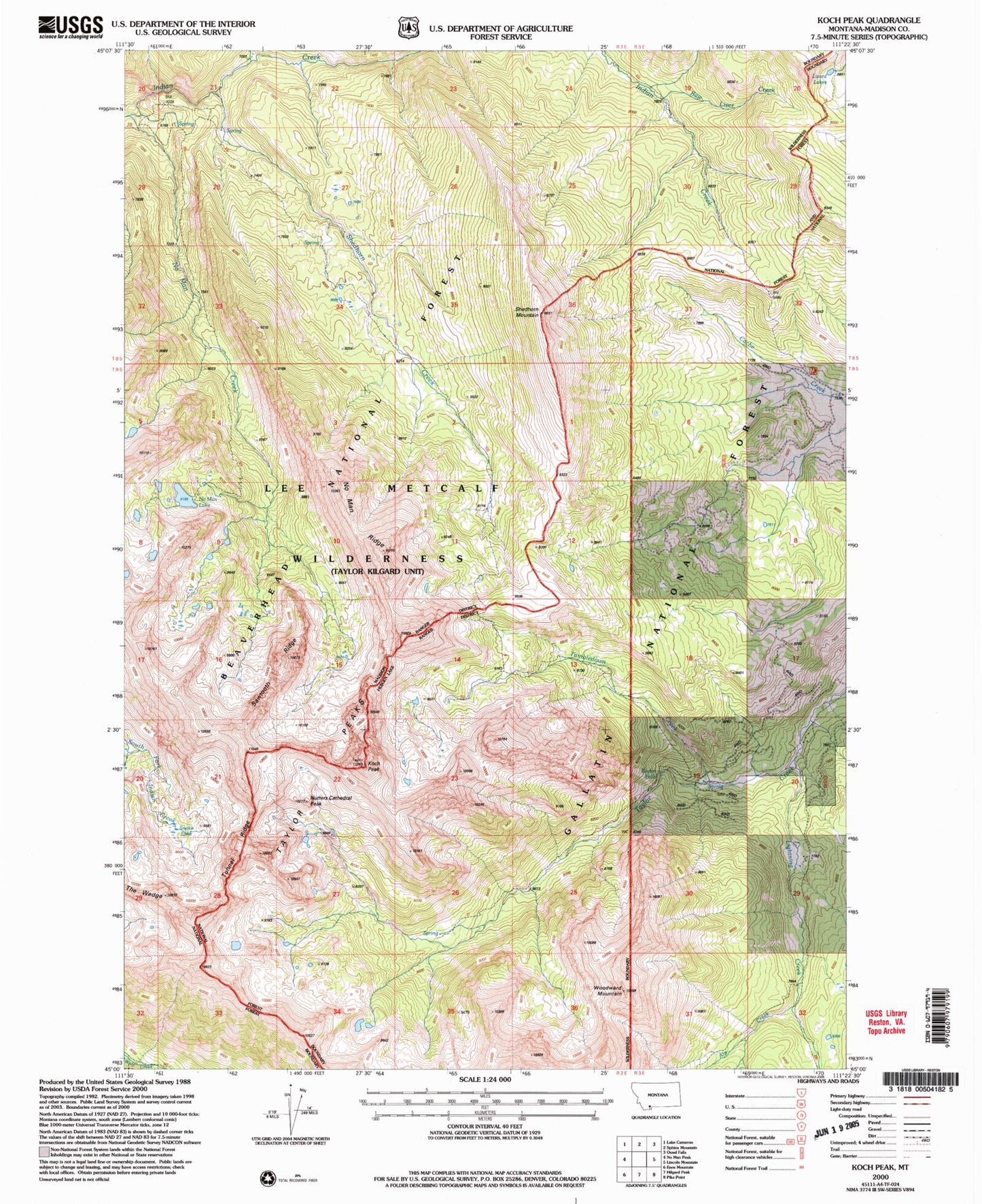
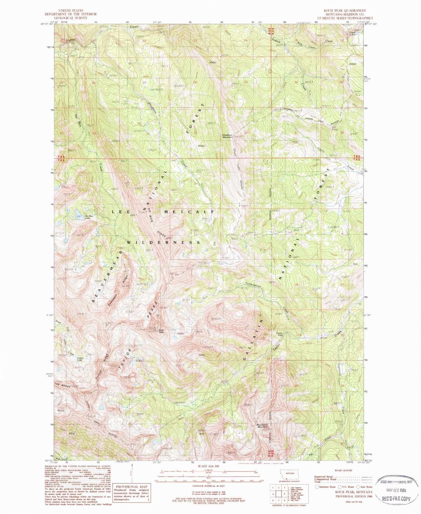
Classic USGS Koch Peak Montana 7.5'x7.5' Topo Map
Couldn't load pickup availability
Historical USGS topographic quad map of Koch Peak in the state of Montana. Typical map scale is 1:24,000, but may vary for certain years, if available. Print size: 24" x 27"
This quadrangle is in the following counties: Madison.
The map contains contour lines, roads, rivers, towns, and lakes. Printed on high-quality waterproof paper with UV fade-resistant inks, and shipped rolled.
Contains the following named places: Alp Creek, Cache Creek Ranger Station, Koch Peak, Lightning Creek, No Man Creek, No Man Lake, No Man Ridge, Raw Liver Creek, Sawtooth Ridge, Shedhorn Creek, Shedhorn Mountain, Snake Lake, Taylor Falls, Taylor Peaks, Tumbledown Creek, Tunnel Ridge, Woodward Mountain, Nutters Cathedral Peak, No Man Dam, Lee Metcalf Wilderness (Taylor-Hilgard Unit)


