MyTopo
Classic USGS Koger Ranch New Mexico 7.5'x7.5' Topo Map
Couldn't load pickup availability
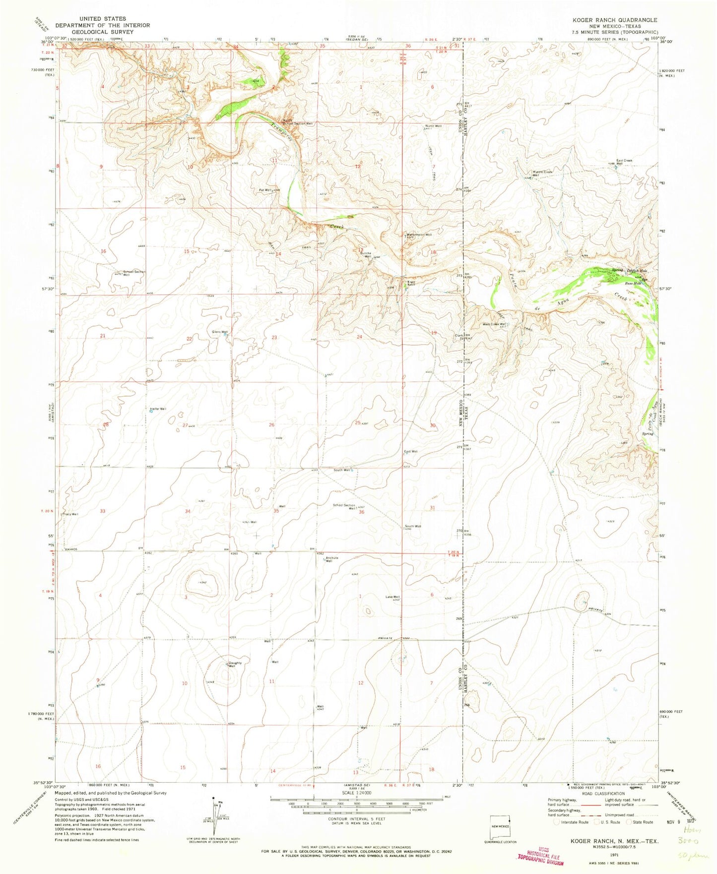
Historical USGS topographic quad map of Koger Ranch in the states of New Mexico, Texas. Map scale may vary for some years, but is generally around 1:24,000. Print size is approximately 24" x 27"
This quadrangle is in the following counties: Hartley, Union.
The map contains contour lines, roads, rivers, towns, and lakes. Printed on high-quality waterproof paper with UV fade-resistant inks, and shipped rolled.
Contains the following named places: Amistad Land and Cattle Company Airport, Anchute Well, Bass Hole, Catfish Hole, Daughty Well, Dutche Well, East Creek Well, East Well, Glens Well, Heifer Well, Koger Ranch, Lake Well, Middle Creek Well, North School Section Well, North Well, Pat Well, School Section Well, South Well, Tracy Well, Tramperos Creek, Watermelon Well, West Creek Well