MyTopo
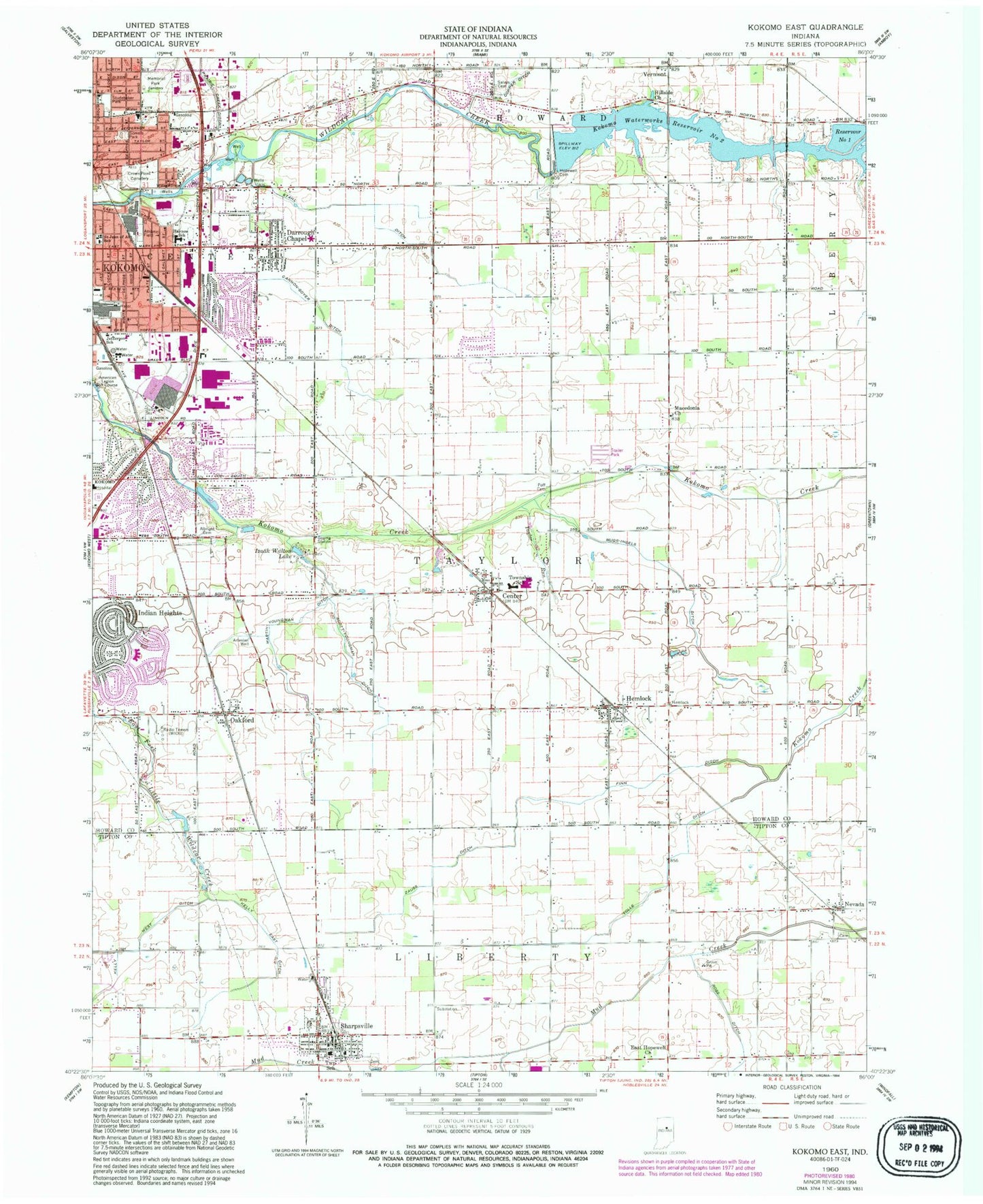
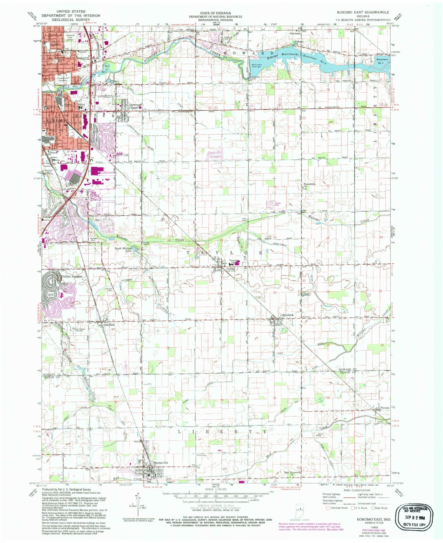
Classic USGS Kokomo East Indiana 7.5'x7.5' Topo Map
Couldn't load pickup availability
Historical USGS topographic quad map of Kokomo East in the state of Indiana. Map scale may vary for some years, but is generally around 1:24,000. Print size is approximately 24" x 27"
This quadrangle is in the following counties: Howard, Tipton.
The map contains contour lines, roads, rivers, towns, and lakes. Printed on high-quality waterproof paper with UV fade-resistant inks, and shipped rolled.
Contains the following named places: Albright Cemetery, American Legion Golf Course, Cannon-Goyer Ditch, Center, Copper Ditch, Crown Point Cemetery, Darrough Chapel, East Hopewell Church, East Taylor Township Fire Rescue, Elwood Haynes Elementary School, Finn Ditch, Hemlock, Hemlock Post Office, Hillsdale Church, Hopewell Cemetery, Howard County, Indian Heights Census Designated Place, Jefferson School, Kelly East Ditch, Kokomo Fire Department Station 2, Kokomo Fire Department Station 6, Kokomo Mall, Kokomo Memorial Park, Kokomo Reservoir Number One, Kokomo Waterworks Dam Number 2, Kokomo Waterworks Reservoir Number Two, Macedonia Church, Martin-Youngman Ditch, Medallion Field, Mugg-Ingels Ditch, Nevada, North Creek, Oakford, Poff Cemetery, Ross Ditch, Saint Joan of Arc School, Salem Cemetery, Salsbery Airport, Scott-Youngman Ditch, Sharpsville, Sharpsville Cemetery, Sharpsville Community Ambulance Service, Sharpsville Police Department, Sharpsville Post Office, Sharpsville Volunteer Fire Department, Sharpville-Prairie Elementary School, Somers Park, Stahl Ditch, Studebaker Park, Sycamore Plaza, Taylor Elementary School, Taylor High School, Taylor Run, Tolle Ditch, Town of Sharpsville, Township of Taylor, Tri Central Junior-Senior High School, Vermont, WIOU-AM (Kokomo), WWKI-FM (Kokomo), Zauss Ditch, ZIP Codes: 46068, 46902


